Annapurna Circuit Trek: Part III

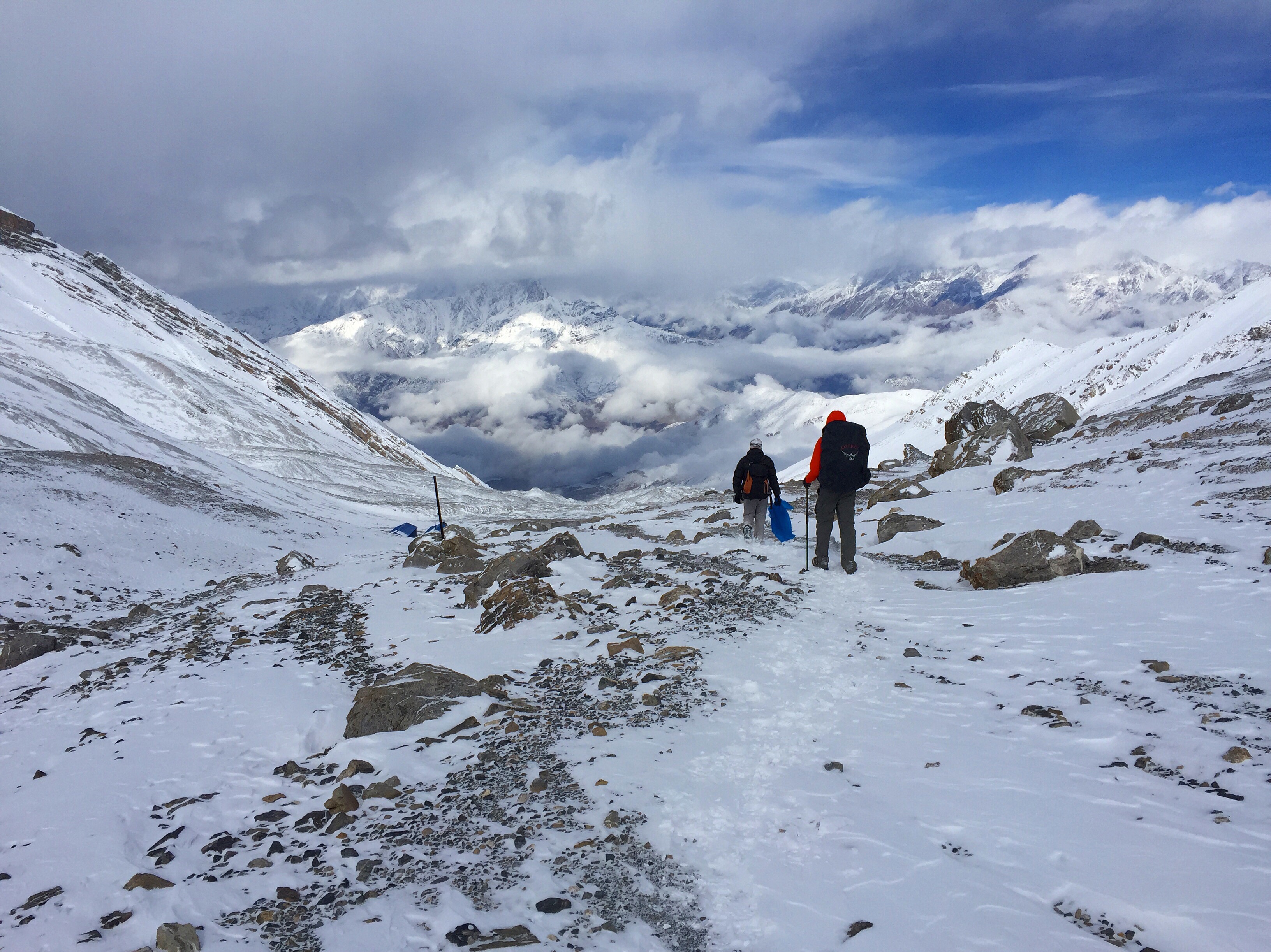
Our bodies had absolutely collapsed in the city of Muktinath following our longest day yet over Thorong-La pass, and even though The hard part is over, we still have a significant portion of the trek left to complete. With whatever strength we have left, we cram the 4-day Tatopani to NayaPul section of the trail into a mere 2 days, leaving our legs more tired and our schedule complete almost a week before we’d planned. 

View of Muktinath from the temple atop the city


Day 10: Muktinath (3800 m) to Jomsom (2720 m): 19 km, 1080 m descent


We wake up early after much-needed rest to visit the holy city of Muktinath, which consists of a temple and series of religious shrines atop a hillside that marks the start of the Jhong Khola. This is one of the most important cities to Nepali and Indian Buddhists (the most important in the Nepal Himalaya), their version of “the land of dreams,” and most will visit at least once in their lifetimes. 

We pass the Gompa Sambha (First Monastery) and a Shiva Temple that is encapsulated by a pool with 108 brass waterspouts – a sacred number in Tibetan Buddhism. We walk left to right, touching the water from each of the cow-head-shaped spouts for good luck. We also visit the Jwalamai (Goddess of Fire) Temple to see the natural gas from the mountain burning behind a grill as a holy flame.

  
Our five hour walk today is dry, dusty, and a monotonous flat. We arrive in Jomsom hot and thirsty from long and relentlessly windy day. Jomsom is actually a very large town, stretching two kilometers and hosting a popular airport. Except, the airport is also unpopular enough where we are warned by multiple guides and lodge owners to avoid these flights because of unpredictable mountain weather and a less-than-squeaky-clean resume of airplane crashes.


Day 11: Bus ride from Jomson (2720 m) to Tatopani (1190 m)


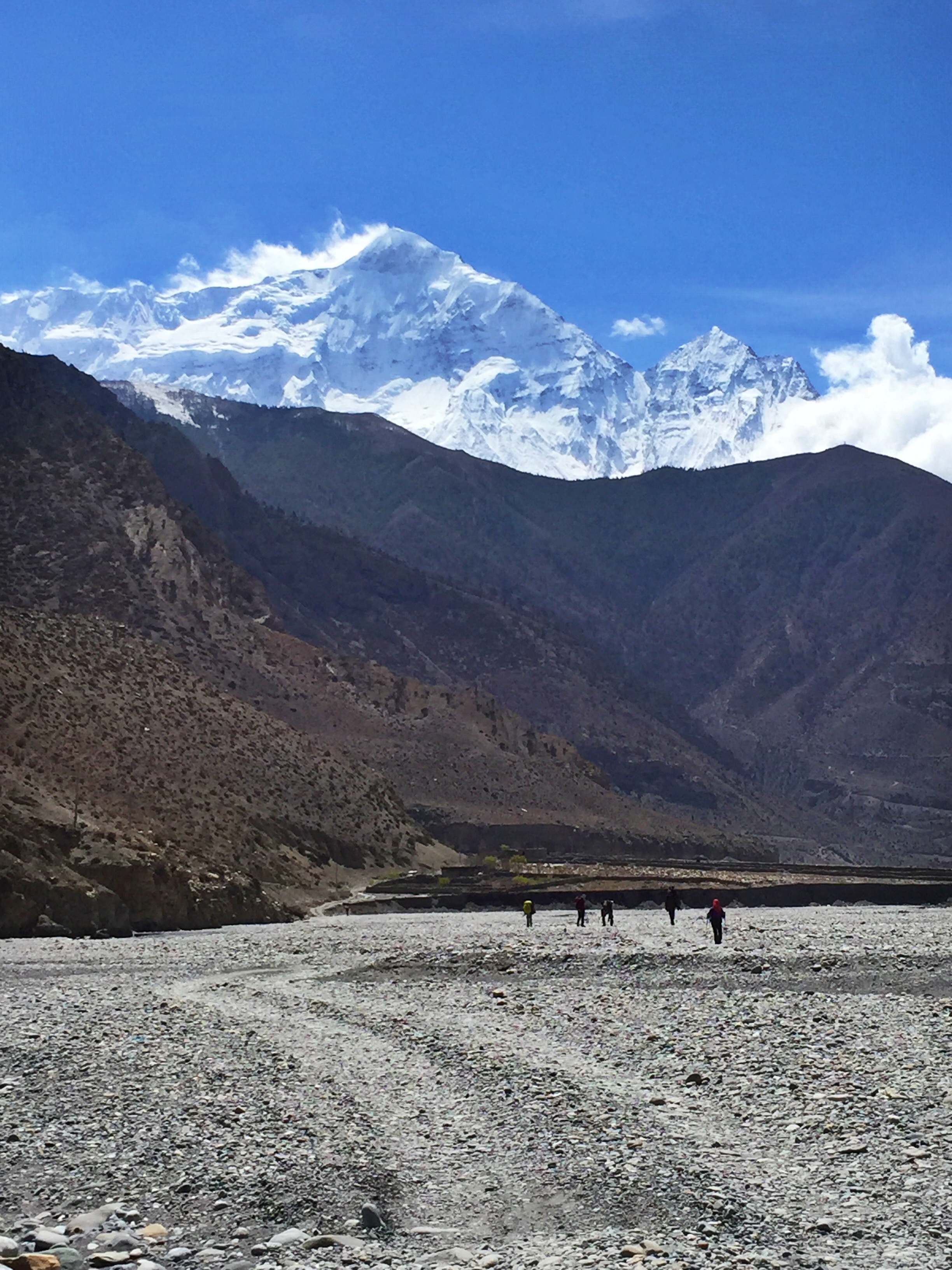
There are trekking options for this day, but all of them involve continuing to walk along the Jeep road in Jomsom Valley, “The Windy Valley,” notorious for its strong gusts and dust storms. We avoided some monotonous, dry and dusty riverbeds by spending 5 hours on a local bus to Tatopani, the lowest elevation we’ve been at since Day 2 of our trek.

  
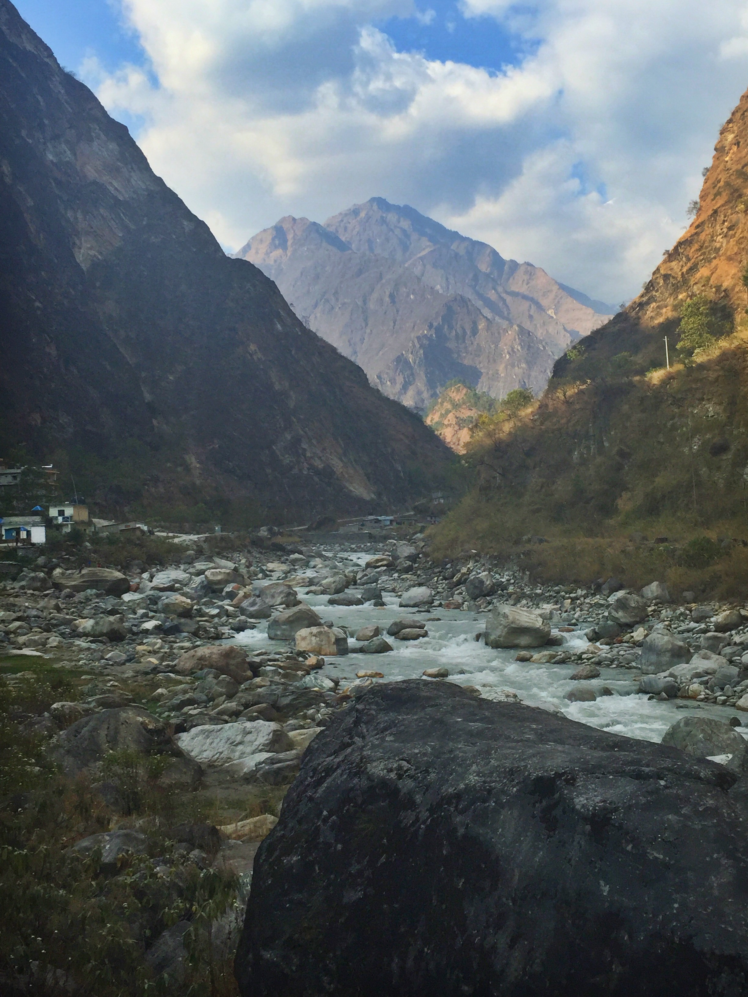
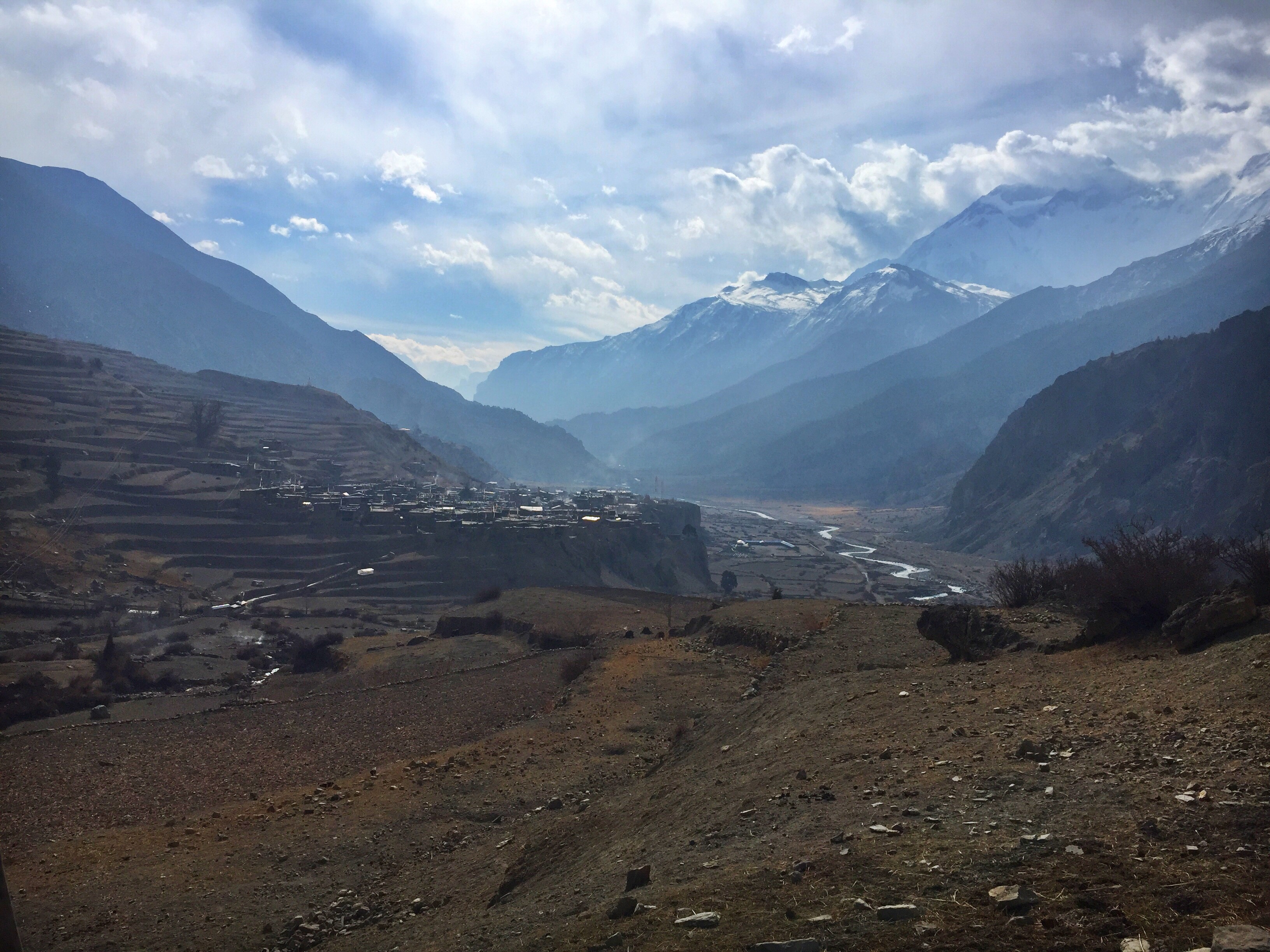
In Tatopani I’m shocked and delighted to suddenly find myself in a tropical jungle. I spend the afternoon on our lodge’s patio reading and enjoying the sunny 70 degree day. Later on I wander around the town, perched high on a cliff overlooking the river and famous hot springs. Tatopani literally means “hot water,” and its stone pools full of 37 degree (Celsius) water attract tourists and locals alike. 

  
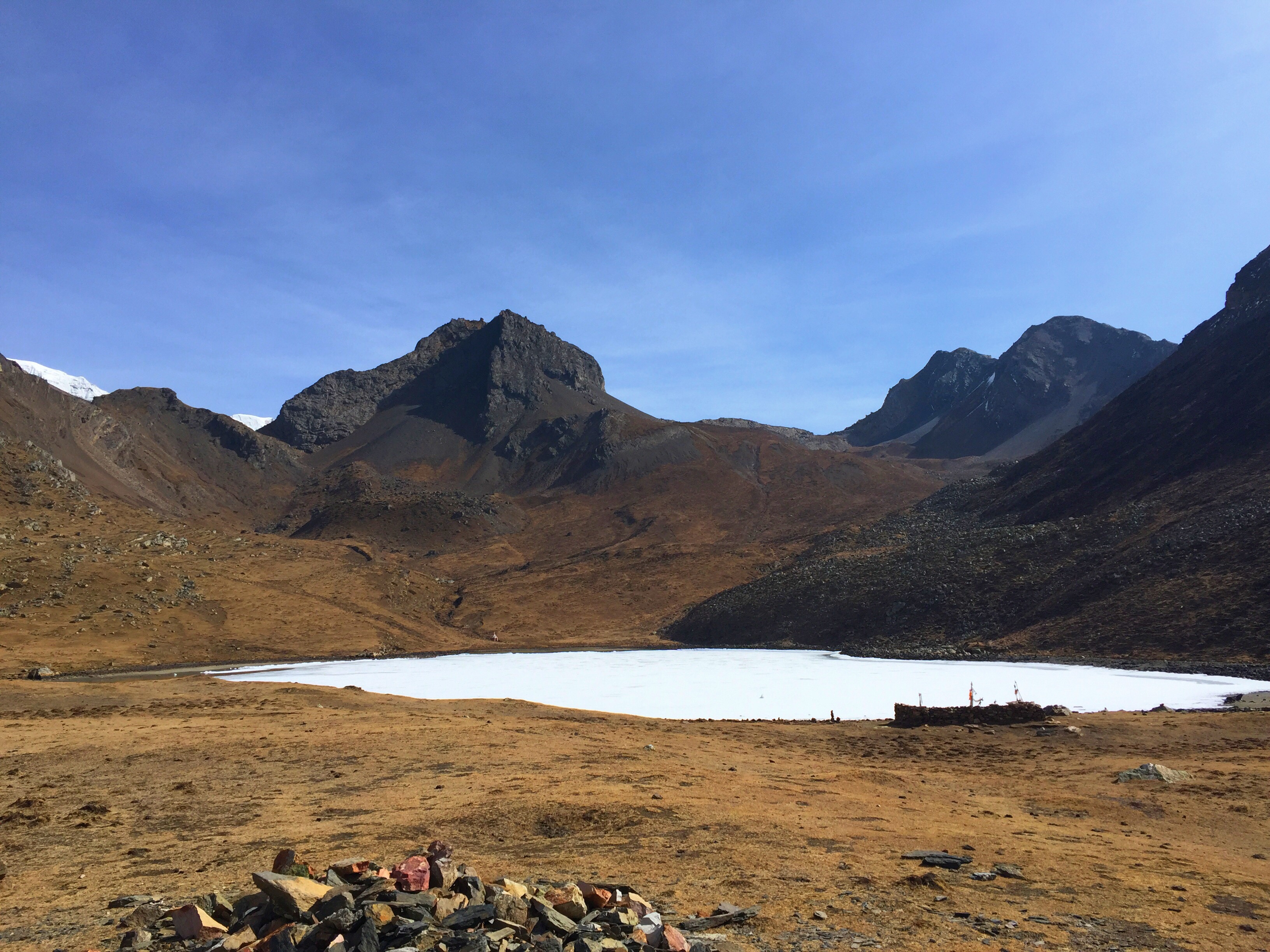
Way off in the distance I can barely see the mountains I’ve just left, peeking through the valley walls and promising to show their faces on our steep ascent tomorrow.
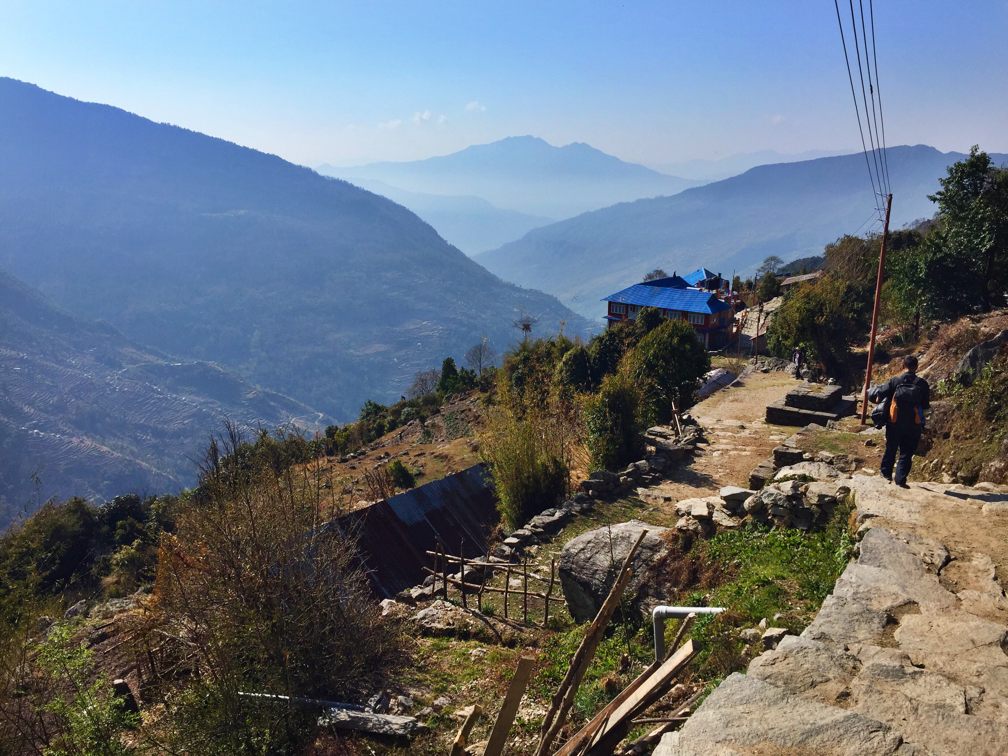
Day 12: Tatopani (1190 m) to Ghorepani (2870 m): 17 km, 1680 m gain


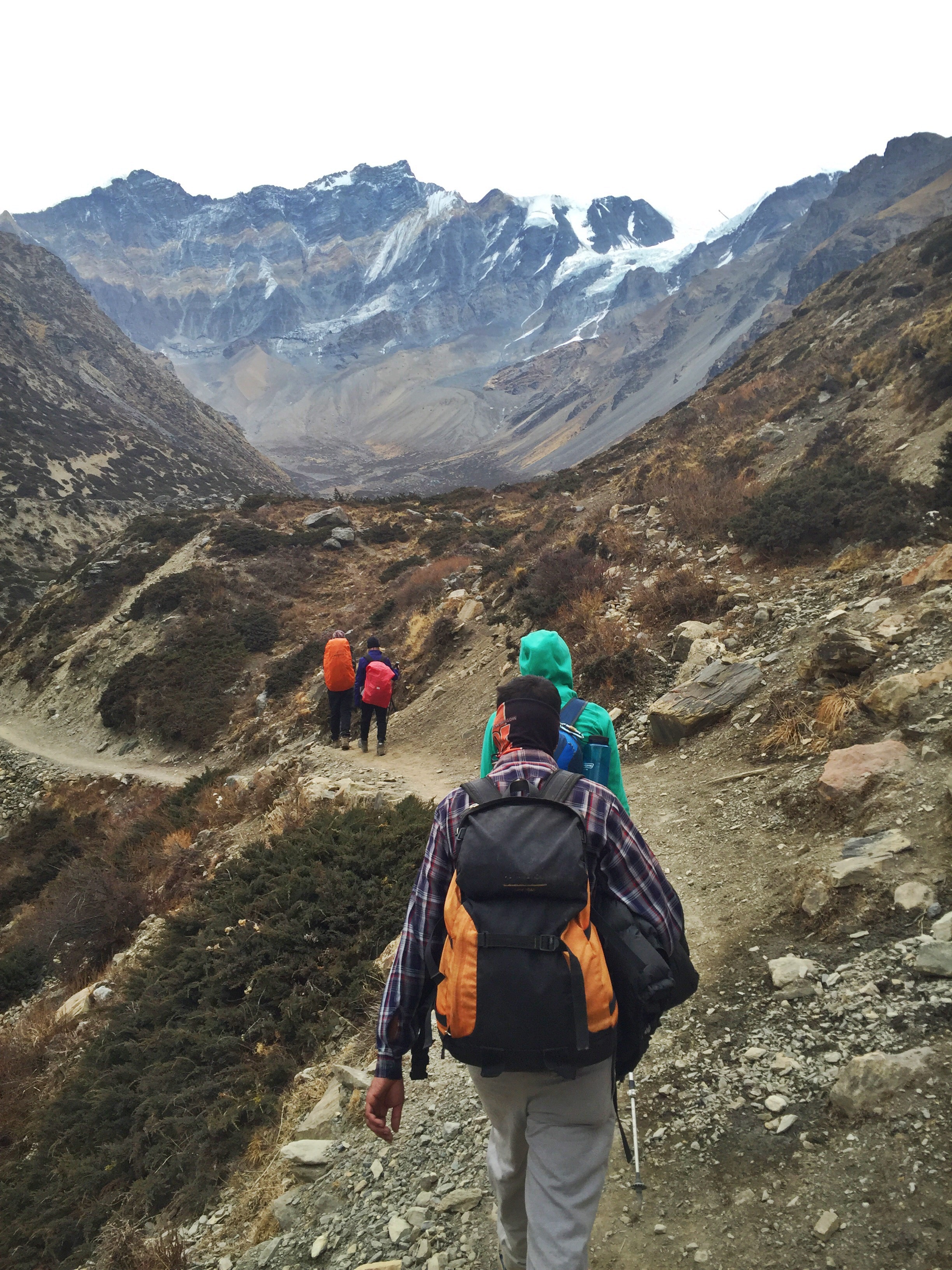
After two nights of too many glasses of Roksy, Hira and I leave Tatopani around 7:30 am for what will be our greatest elevation gain of the entire circuit, nearly 1700 m (granted, at a fairly low altitude).

  
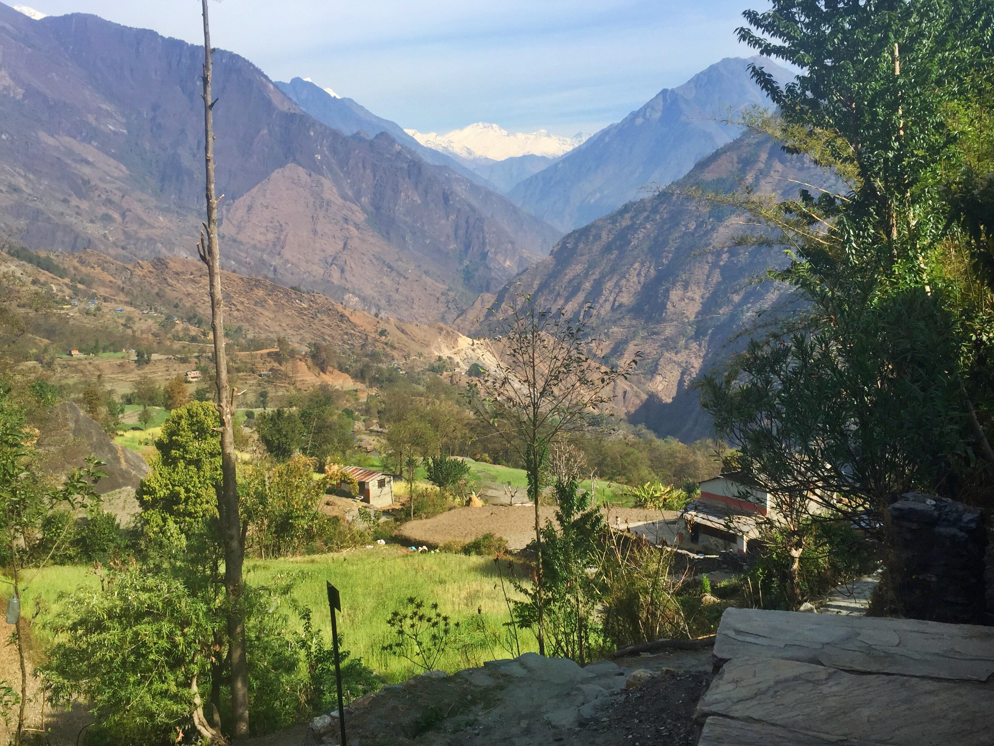
A few hours into the day and I’m complaining that I’m tired. By noon, I’m exhausted and barely carrying myself up the final steps through the entrance of Ghorepani. A conversation with Hira hours later would reveal that most people do this climb in two days. In fact, the 17 km trek is estimated to take folks between 8 and 11 hours to complete, where Hira and I have managed the task in no more than 5. I felt a little better after that.

  
Ghorepani itself is host to a number of shorter treks for travelers with less time on their hands. This area is known best for its brilliant rhododendron blooms in March and April, with bright red and pink flowers lighting up the hillside against a dramatic backdrop of the world’s highest mountains.


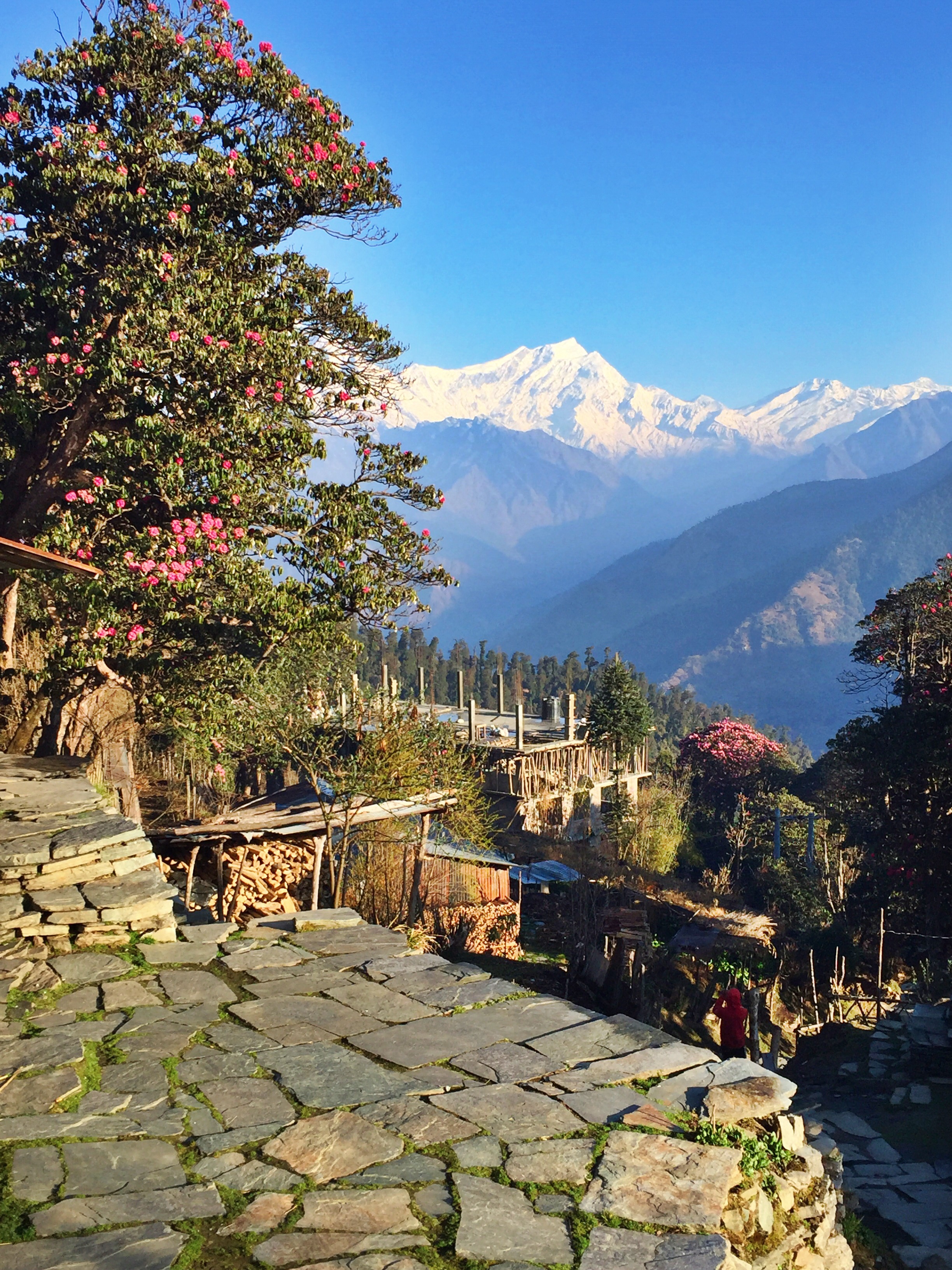
Day 13: Ghorepani (2870 m) to Poon Hill (3200 m) to NayaPul (1070 m)


We have another long day today, one that many trekkers do in two, but we have crammed into a mere 7 hours. By early afternoon and the official end to our trek, I am hotter than I’ve been in the last two weeks, I am done taking photos, I am mentally begging for sleep and a hard, immediate divorce from my hiking boots.

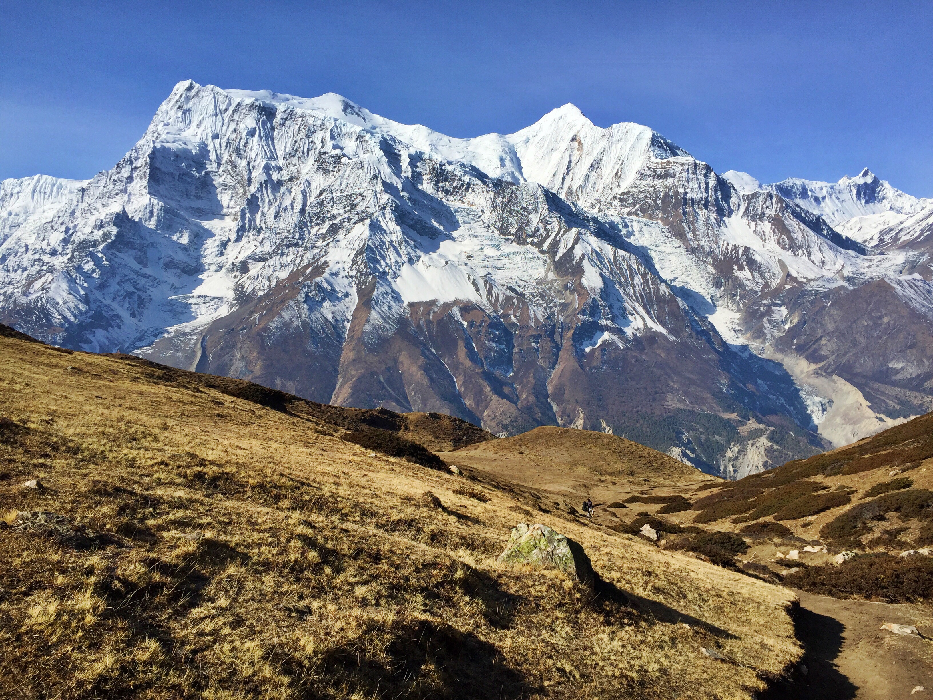
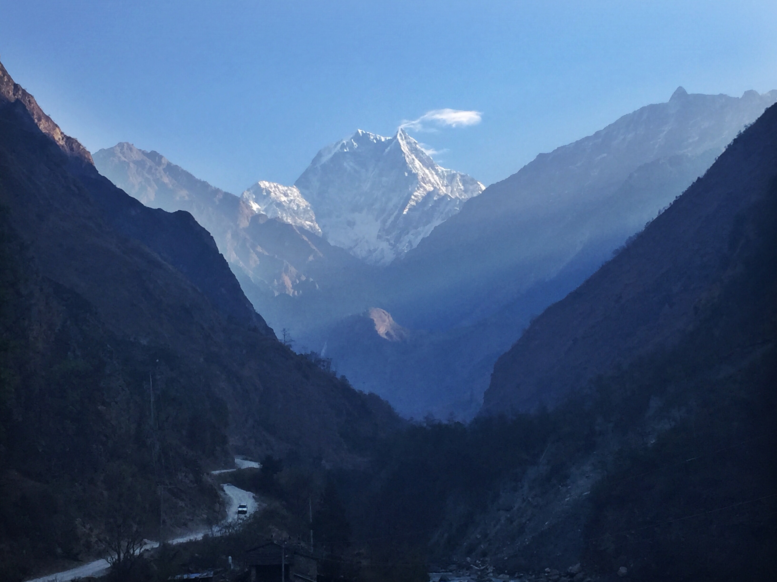
Our morning begins with a 5am wakeup call that reveals the weather is good, the sky is cloud-free and clear, and we are ready to make our ascent up Poon Hill. I’d read that this was by and far the most popular part of the Annapurna Circuit trek, and for many other treks in the Ghorepani area as well. A hundred or more people made the slow and steady walk up the stone steps to the top of Poon Hill this morning to see the fabled views of Dhalugiri and Annapurna.


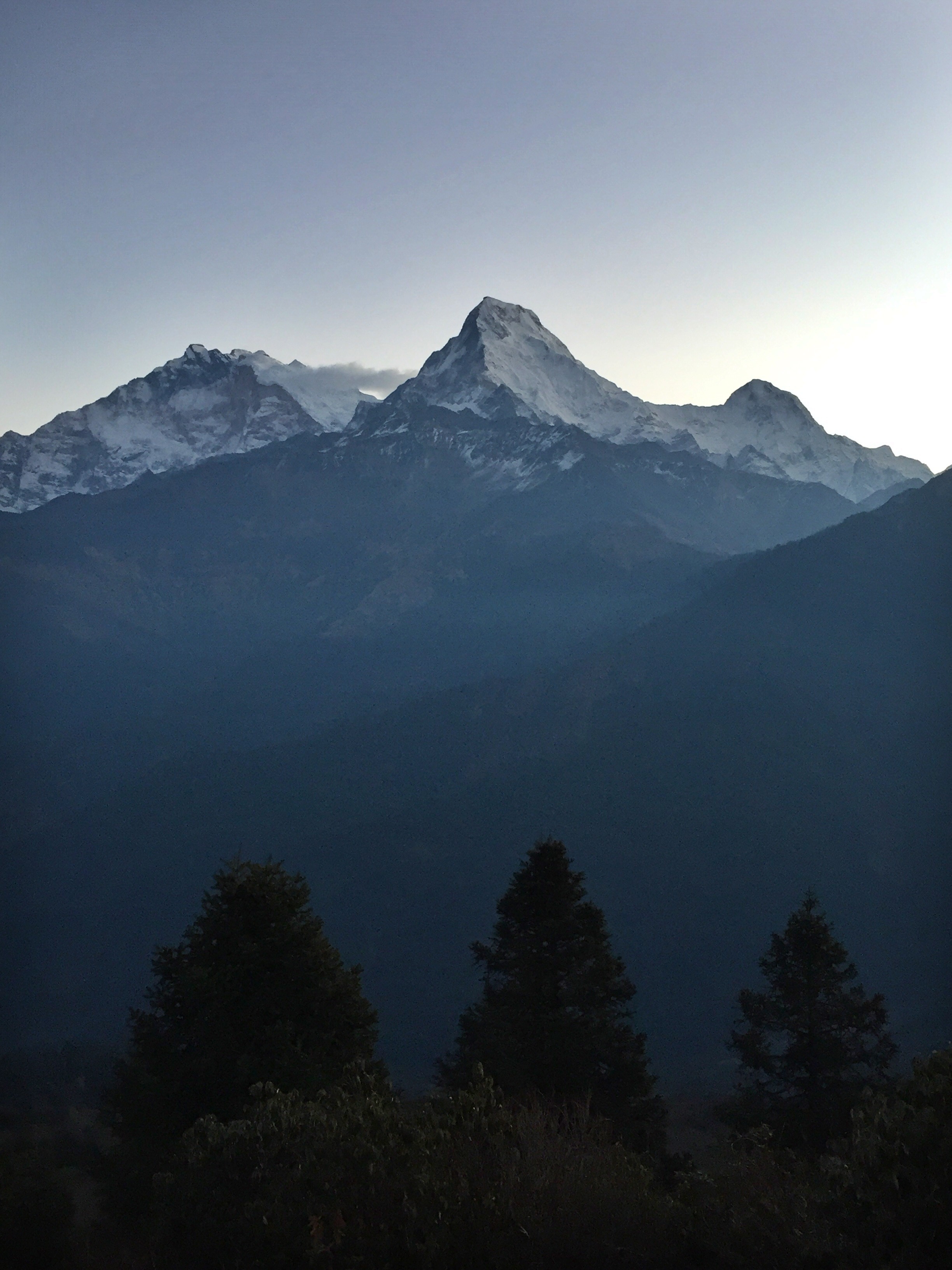
Our first head-on view of Annapurna I throughout the entire trip


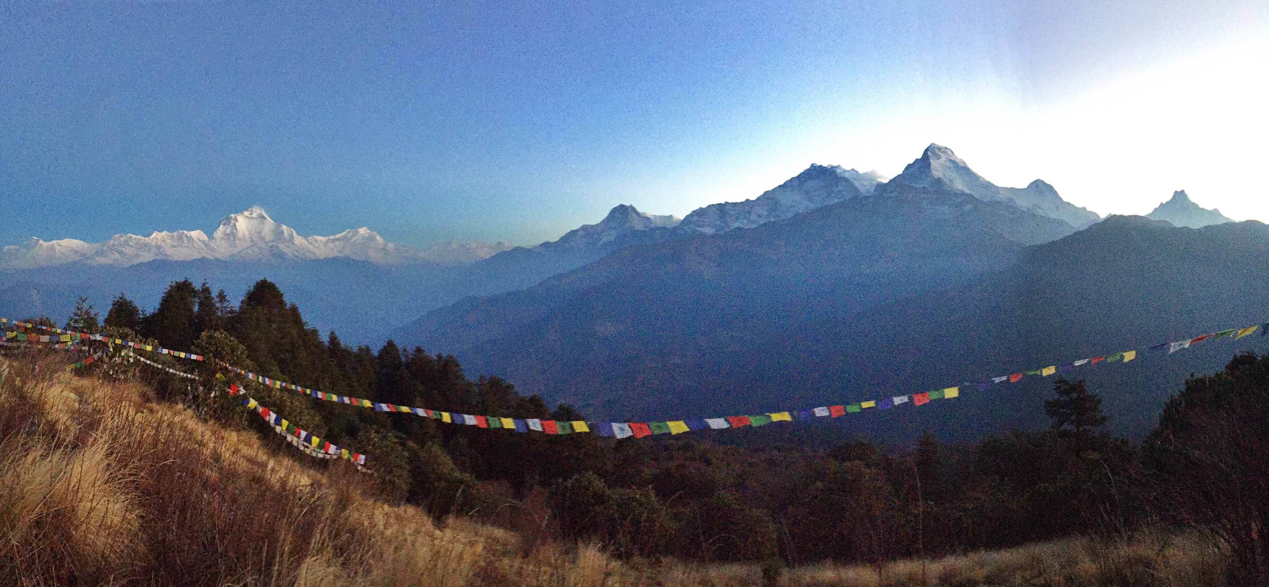
Words do little justice at describing the morning alpenglow on two of the most famous peaks in mountaineering history. Standing on Pool Hill, I looked at the valley separating Dhalugiri and Annapurna, reliving the moment 66 years ago when Maurice Herzog and the French Expedition stood in this spot, deciding which 8,000 meter peak to attempt. A long approach and huge waste of supplies on Dhalugiri forced the team to give up that peak in favor for Annapurna. In the end, their tough decision made mountaineering history as we know it today.

Sunrise over Dhaulagiri, the 7th highest mountain in the world

The proceeding six hours followed a series of endless steps down to the village of NayaPul where we once again experienced the unbearable heat of the dry pre-monsoon season in Nepal. Despite the weather, or even because of it, the Ghorepani region attracts many short-term trekkers with tighter schedules. We passed hundreds of people making their way up, undoubtedly reaching for the summit of Poon Hill within the following few days.

  
Josh and I walked away from our trek – him to Myanmar and myself to the cozy town of Pokhara – feeling stronger, braver, and tougher from the last couple of weeks. The lessons I learned from Annapurna will definitely help improve my success on the Everest Region’s Three Passes trek, and strengthen me as a hiker for the rest of my life.

  
Stay tuned to see my next developments in Nepal, and feel free to leave a comment or question for me below!

Annapurna Circuit Trek: Part II

In the second part of our Annapurna Circuit, all of our focus goes towards safely and successfully making it over Thorong-La Pass (5416 meters or 17,769 feet), the highest point and crux of our entire trek. Combining our previous experience with high-altitude hiking, local advice and knowledge, and careful attention to weather patterns, we are confident in our ability to navigate the most challenging part of the Circuit.
Our attentiveness is made all the more important by the tragic events of October 2014 when 43 lives were lost and over 500 people were rescued in the vicinity of the pass. A huge snowstorm had caught many trekkers trapped and unaware, and still others pushed on in the bad weather because of strict schedules and timelines they wanted to adhere to. This is a big reason why we allowed ourselves so many days to complete this trek – we didn’t want to feel pressured or constrained if we needed an extra few days over this section. Luckily, our carefulness paid off.


View from the top of Ice Lakes


Day 6: Acclimatization day, hike to Ice Lake / Kicho Tso (4620 m)

We wake up bright and early to start our hike at sunrise. Rising along the valley walls alongside the sun, the first two hours of our hike was shaded and serene as we looked out at Gangapurna, Annapurna III, and Annapurna IV. Just Hira and I, we walked fast, and made it to the lakes before anybody else from Manang.

There is an easy path to follow outside of the next-door village of Bragha, but Hira and I take a shortcut that zigzags behind Manang and cuts off some time and distance, but certainly not elevation gain. We bushwhack and boulder our way up to the top of a ridge that offers us staggering views of the Annapurna range.

Sunrise over the Annapurna range

We had left our lodge at 6:30 am and returned just a little before noon. The chefs who had prepared our breakfast didn’t buy it that we’d actually made it to the top! We had to show photo proof for them to believe us.
The ascent to both of the Ice Lakes felt easier than it looked on paper – with a staggering 1080 meter elevation gain! Two liters of water isn’t enough for the hot morning, and I pay the price back in our lodge with a pounding headache and a hungry stomach.


Overlooking the smaller of the two Ice Lakes, with Annapurna views in the background


This acclimatization trip certainly prepared me for the following day, as well as the final push up Thorong-La Pass. In fact, we won’t even be hiking or sleeping at this altitude until our final summit morning. Sometimes it feels great to lose your breath.
Day 7: Manang (3540 m) to Yak Kharka (4050 m): 9 km, 510 m gain

As we go higher, our trekking days become shorter. We also become slower. As we creep above 10, 11, and 12 thousand feet, our packs feel heavier and our feet move like concrete blocks. We won’t realize how strong we’ve become until we descend past Thorong-La and practically skip to the end of our trek.

  
Today only takes about three and a half hours to reach our destination, where we arrive before noon. We spend the next 8 hours drinking tea, playing card games, and discussing timing and plans for the high pass crossing.

Fresh powder speckles the trail here, and we have moved far past an altitude where rain will turn to snow. This is the first town where we are told that all of the pipes have frozen, which means there is no water – hot or cold – to shower. We also collect drinking water from a pot provided by, and melted by, the kitchen.


Changes in scenery as we are creeping up in altitude


Day 8: Yak Kharka (4050 m) to Thorung Phedi (4450 m): 6 km, 400 m gain

We aren’t even hiking for 3 hours today, but it feels rough. Josh is having trouble breathing and my legs are screaming in agony, but luckily my training hike up to Ice Lake greatly helped with my acclimatization. 


Like the day before, we arrive before noon and have the afternoon to ourselves. Since this is the highest we’ll stay, and the farthest from sea level amenities, everything here is outrageously expensive. We buy an extra large pot of hot chocolate for $12 and, if only from the comfort of feeling a hot mug through our gloves, decide it’s totally worth it.

  
We start a short acclimatization hike a few hundred meters above our lodge, and turn around as it begins snowing. It continues to snow for a few hours, and we start getting nervous. If the snow keeps up, we will have to delay our departure by a day or two… in the coldest, most inhospitable environment we’ve experienced so far. Yet even if the snow lets up, it’s the first the mountain has seen in weeks, and the fresh powder is bound to create a slippery ascent and a dangerously icy descent.
Day 9: Thorung Pedi (4450 m) to Thorung-La Pass (5416 m) to Muktinath (3800 m): 16 km, 1000 m gain, 1600 m descent

We wake up at 4am, wolf down breakfast, and are walking skywards by 4:30am. It’s snowing just as it has been the last few afternoons, only this is the first real blizzard in the last few weeks. We sludge through soft powder by the lights of our headlamps until the scenery starts lighting up hours later.

Hira and I overtake everyone else on the mountain and start breaking trail for the 50+ trekkers behind us. He follows the natural curves of the valley and uses his own intuition to take us higher and steeper towards the pass. The powder makes it impossible to grip our boots to the ground; we’re constantly sliding sideways and increasingly closer to toppling over the edge of the cliff.

All smiles at the top of the pass!

At 8:15am, we reach the top of the widest pass in the world, Thorong-La. Within 15 minutes the snow stops, the sky clears, and we can see the stunning mountain views we were promised. It is so cold at the top, that my iPhone completely shuts down and I miss my chance at a summit photo.

We start our steep descent down, made steeper and slipperier by the fresh snow. The day gets easier as we begin to gain our breath and strength at a lower elevation, and refuel with fresh water and food once our stomachs settle from the breathtaking altitude.

  
Unfortunately we are still high enough where snow falls, and where most of the town’s hotels cannot offer hot showers due to frozen pipes. We still sleep easy, our legs and minds worn out from the long morning.

  
The third and final part of our trek takes us into a tropical jungle on the opposite side of the pass. It should be a piece of cake after our steep climb above 5,000 meters, but we still have our greatest elevation gain of the entire trek ahead of us. Stay tuned!

Annapurna Circuit Trek: Part I

At the end of February my friend Josh and I ventured to Nepal to begin one of the most famous treks in the world, the Annapurna Circuit Trek. After delaying ourselves from having so much fun in Kathmandu and Pokhara, we woke up on March 6 to begin a 3 week journey from the Himalayan foothills through one of the most important ranges in mountaineering history, the Annapurna Massif.

In 1950 the French expedition led by Maurice Herzog became the first team to reach the summit of an 8,000 meter peak, Annapurna. Of the 14 mountains above 8,000 meters in the world, Nepal is home to 8 of these. The Annapurna Circuit trek not only attracts mountaineers, but geologists, bird watchers, and outdoor enthusiasts of all skill levels who will take between 12 and 20 days to complete the full circuit trek.

Day 1: Ngadi (890 m) to Jagat (1300 m): 12 km, 410 m gain


We take a bus from Besi Sahar to Ngadi, where we begin our hike. Bus services end here, where private Jeeps are available for a hefty price to continue on up through the valley. A huge portion of the Annapurna Circuit follows this same road as it winds up the mountainside. Since the time that my Lonely Planet book was published in December of 2015, the road expanded 34 kilometers all the way from Chame (2710 m) to Manang (3540 m).

  
Today is a relatively easy day, but it is hot. After a couple of hours, we reach a huge tree that frames the perfect vantage point for what’s to come. We overlook the Marsyangdi Valley and see our path curve along the hillside up towards another village on the opposite end. It’s the perfect taste of what we’ll see in the next few weeks.


Day 2: Jagat (1300 m) to Dharapani (1900 m): 15 km, 600 m gain
We have lunch in Tal, a beautiful town situated at the end of a valley and the tongue of a river. I bought a bracelet from a local man who promises me that the Tibetan Ohm will give me luck when crossing the Thorong-La Pass in a week.


Descending into our lunch spot in Tal


Josh gives a quick camera lesson to some Nepalese children

 
The valley walls rise dramatically towards the sky on either side to make up these lush, green mountainsides. Even though we haven’t reached the glaciers yet, snow speckles the upper reaches of our day’s hiking destination. Nowhere in America will you see such stark differences between the plunging valley floor and the towering hilltops.


Almost even more impressive are the villages that dot the skyline, perched on cliff ledges overlooking thousands of feet of thin air.


The perfect afternoon spot for a tea break

 
Today I buy a pair of trekking poles, socks, chapstick, and a chocolate cake for $12. I also experience my first cold shower, courtesy of Himalayan runoff water. “Cold” seems like too nice of a word to describe the feeling of melted ice dripping through my hair.

Our lodge is near a river, so I borrowed a washbin and hand washed my smelliest gear. In the morning I’ll clip them onto the outside of my pack, and by midday they’ll be completely dry from the intense sun. I feel very self-sufficient.

Day 3: Dharapani (1900 m) to Chame (2710 m): 16 km, 810 m gain
Our third day was by far the most exciting, for it’s the first time we get to see the 7,000 and 8,000 meter peaks we’ve been reading and seeing so much about.

  
Our first glimpse is of Annapurna II, part of the greater Annapurna Massif which I mentioned above was the first ever recorded ascent of an 8,000 meter peak. Herzog, the leader of the group, lost both hands and feet in the process.

We were surprised to encounter our first real chilly evening in Chame. After experiencing my first ever hot bucket shower, I went off to explore the town and ended up walking up past a school, a monastery, and up to the upper reaches of the village. There, I was greeted with the late afternoon alpenglow coming off of Manaslu, the 6th tallest mountain in the world.


Today brought to life the stories I’d read from history’s most famous mountaineers, and I know that in the days to come we’ll only be more impressed and surprised by the sights of the full Circuit.


Day 4: Chame (2710 m) to Upper Pisang (3310 m): 14.5 km, 600 m gain


We woke up today with our breath frosting the air in our lodge room, and the temperature too cold to hold a book in bed with one hand for longer than a minute, before needing to switch out under the covers with the other. But by the time we’d gotten up, had breakfast, and stepped outside, the sun was blazing hot.

  
If we thought we’d gotten used to the mountains from yesterday, we were wrong. Every uphill and every turn granted us jaw-dropping views. The weather was crystal clear, as perfect as it could’ve been, with these gigantic jagged peaks cutting across a flawless blue sky in what was probably the most beautiful scenery I’ve ever experienced in my life.

  
We pass by an apple orchard, and it’s not the first time we’re told that these high-altitude apples are great additions to any meal. I order an apple pie for Josh and I to split as an appetizer for our dinner. We continue to enjoy apple porridge, and apple pancakes throughout the trek.


Our lodge in Upper Pisang is this humongous pink building perched over a cliff, and our guide tells us that only two years ago the entire structure resided in Lower Pisang, where it was manually torn apart, hauled up 300 meters, and reconstructed. Annapurna II looms over everything in this town, even the beautiful new monastery sitting at the very top.


Day 5: Upper Pisang (3310 m) to Manang (3540 m): 19.5 km, 600+ m gain


There are two routes out of Lower and Upper Pisang; a lower route that follows the Jeep road along the river, and a high route that soars above the valley and nearly touches the surrounding 6,000m+ meter peaks. 

We chose the high route, planning only to make it to Ngawal, about half the distance it would take to reach the larger town of Manang. We were stronger and faster than we’d anticipated, and after a well-deserved lunch following a brutal morning ascent, we took the rest of the “Nepali flat” route to Manang (Pro hint: Nothing in Nepal is truly flat, be wary of your guide’s route description).


As the story goes, each day has been better than the previous, and the sights we saw and peaks we seemed close enough to touch followed us along our trek all day long. Today we mostly walked in silence, getting lost in the beauty around us.


In Manang we settle into the room we’ll stay at for two nights, to acclimatize. We did some laundry and got our first hot shower in three days.

From here on out, our trekking days will get shorter as we reach higher altitudes. Read onto my second part of our time on the Annapurna Circuit Trek to see the stunning photos of our climb to Ice Lakes.