As isolated as it is impressive, Mt. Diablo has the second largest visual prominence in the world, behind Mt. Kilimanjaro. That means from its summit you can see the Sierra Nevadas to the east and even Mt. Lassen, 181 miles north. It’s truly one of the most demanding peaks in the Bay Area, and makes for a hell of a day hike.
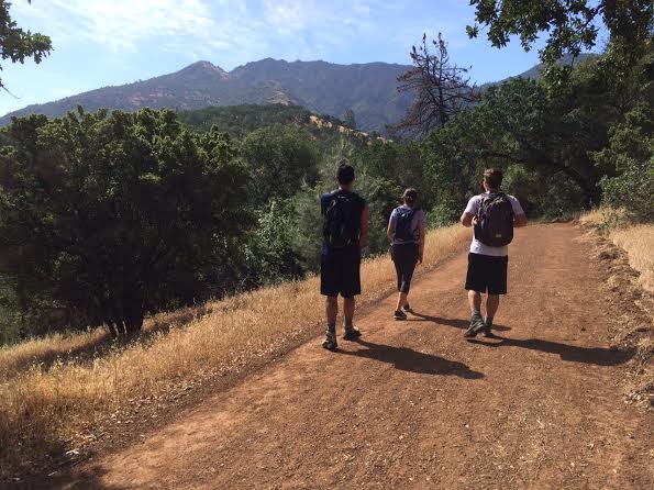
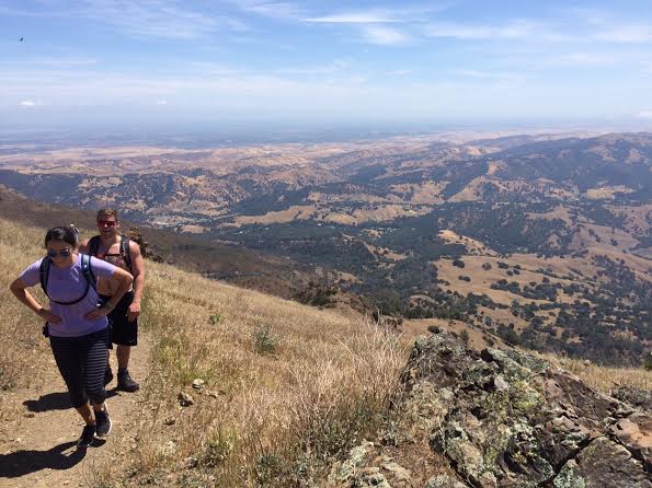
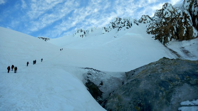
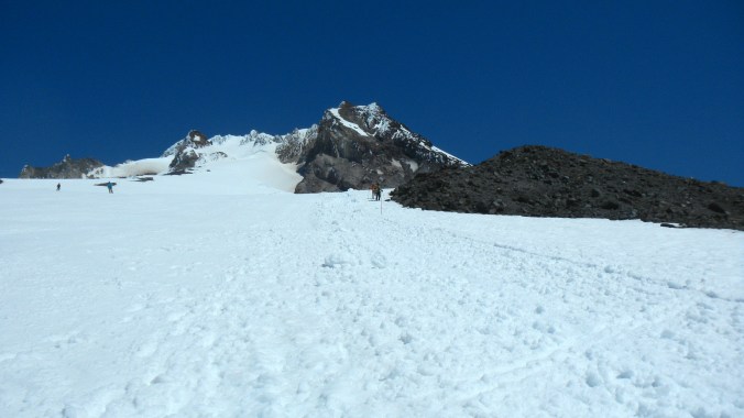
Starting up Eagle Creek Trail with the summit in clear view ahead of us
I’d been up Diablo three years ago and decided to do the opposite loop from that time. This way was much more scenic, forested, and less crowded than taking the fire road up, albeit much more challenging. Here’s the distance breakdown:
- Oak Road (fire road): 0.3 miles
- Eagle Peak Trail: 3.1 miles
- Bald Ridge Trail: 1.5 miles
- North Peak Trail: 0.9 miles
- Summit Trail: 0.7 miles (up to Visitor Center & Lookout)
- Juniper Trail: 1.4 miles
- Deer Flat Roadd (fire road): 1.6 miles
- Mitchell Canyon Road (fire road): 3.7 miles
- Total: 13.2 miles
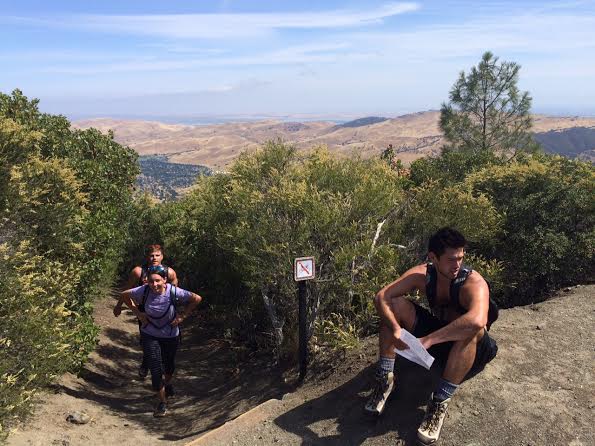
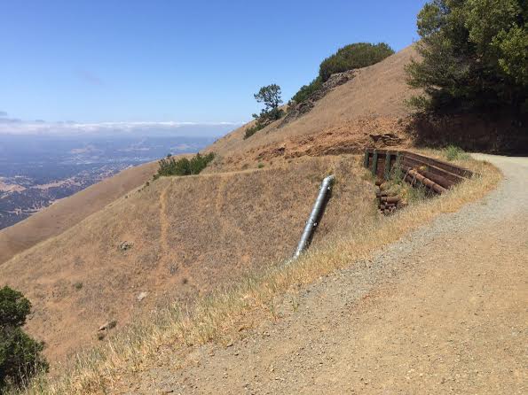
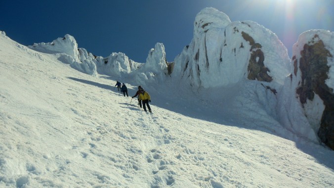
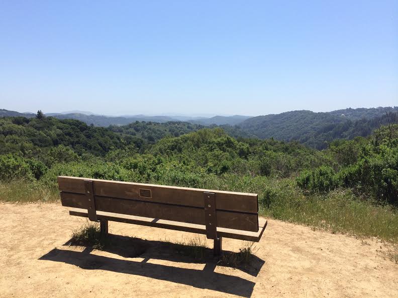
Taking a break before heading up Bald Ridge Trail.
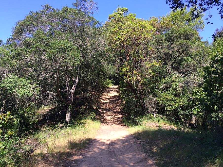
The steep ascent up Eagle Peak Trail was without a doubt, the most challenging of the day. Still, we made incredible time. We’d been warned – and expected – to have a 6 to 8 hour day ahead of us, but we reached the summit after only 2.5 hours of hiking. Descending took almost as long, probably because by the end of the day we were all exhausted and dragging our feet down the hills. Still, we were all in all very happy with our route choice and end time.

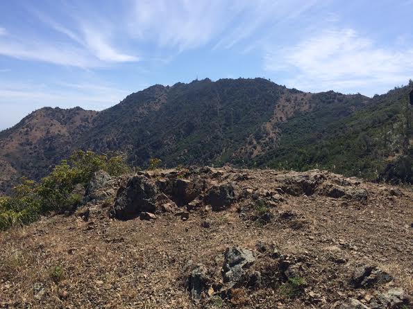
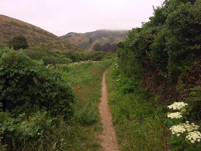
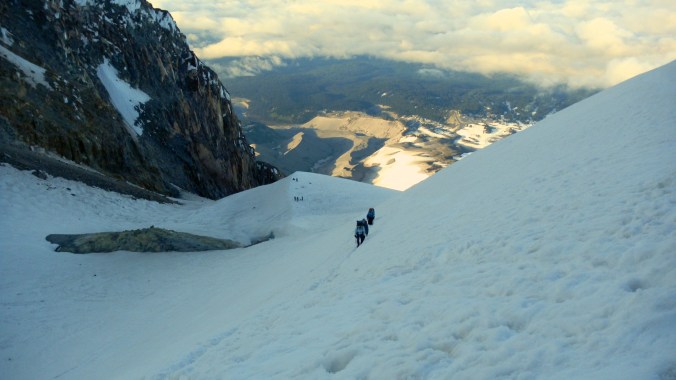
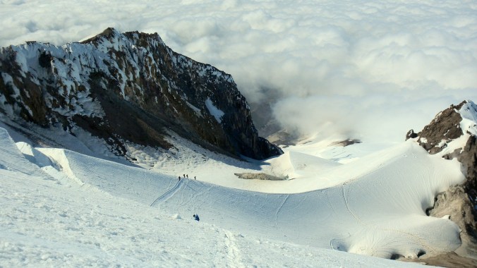
Partway up Bald Ridge Trail… yet the summit still seems so far away.

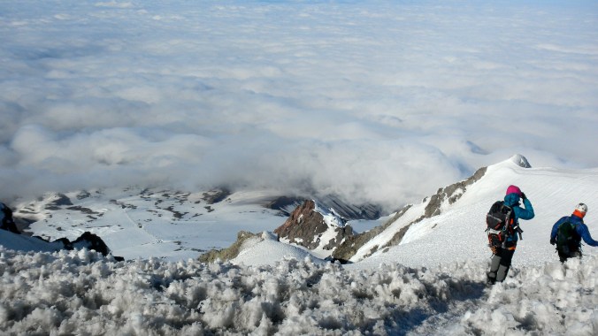
Clear views of the valley on the final ascent up the Summit Trail.
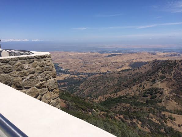
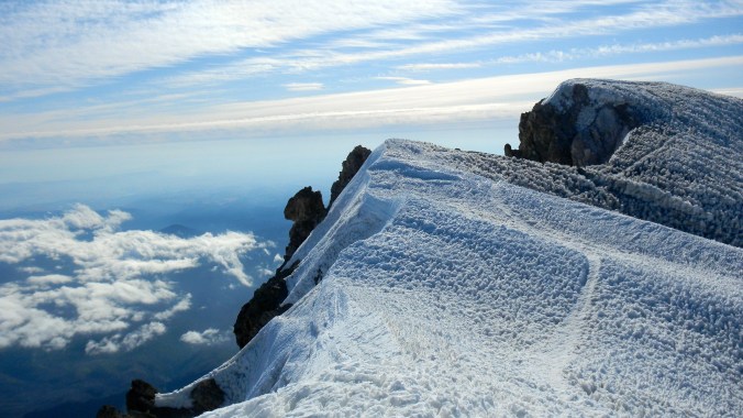
Corner of the lookout from the Mt. Diablo Visitor Center.
The one thing I remembered most about this hike from completing it years before was the anticlimactic feeling of arriving at the summit surrounded by people who had driven up. Still, there was a number of hikers who looked as rugged and worn out as we’d felt, lined up at the summit water spigot. Both the Visitor Center and lookout platform offer great 360 degree views and is lined with binoculars for far-off views on clear days.


Like I’d mentioned before, our route down was much less scenic, following a wide fire road for the entire journey. We saw larger groups of people ascending this direction, or stopping partway at scattered picnic tables. This road really drags on, and since it’s a couple miles longer (but less steep), than the way up – we were more than ready to throw down our packs and call it a day once we’d reached the car.
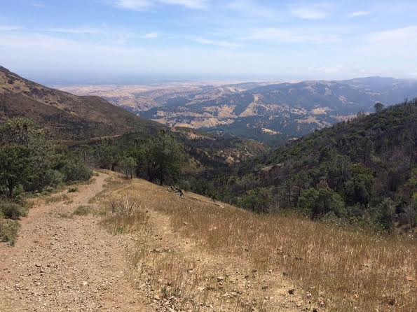
Beginning of a long, windy descent down the Deer Flat fire road to the Mitchell Canyon fire road.
-
QUICK STATS
- Length: 13.2 miles
- Elevation gain: 3.2k ft.
- Time: 5 hours


