Hike Sunday Peak (8,295′)

Bag the tallest peak of the Greenhorn Mountains at 8,295 ft. and enjoy dizzying mountain views, tucked away in the Sequoia National Forest.

Overview: 3.4 miles, 1100 feet elevation gain

img_7058

This short and easy summit is located just outside of Kernville, California. To get there, follow Highway 178 towards Kernville and turn left on Highway 155 towards Wofford Heights. After a long, steep incline you’ll reach the top of Greenhorn Summit, marked by large parking areas on either side. Turn right onto 24S15 (Forest Road 90) and you’ll see a sign for a number of trailheads – including Sunday Peak. Follow this dirt road for 6 miles to the Sunday Peak Trailhead.

This is a nice, wide, friendly road for any type of passenger vehicle (no 4×4 or high-clearance required). The parking area is large enough to accommodate half a dozen cars, so don’t stop early if the trail isn’t obvious. A trail marker shows you the way up a steep start to your route.

img_7066

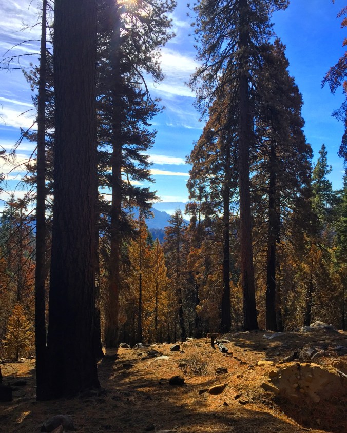
In Fall 2016 a huge forest fire burned this whole area, leaving a bunch of fallen trees and ash in its wake. The trail was in pretty bad shape when I visited and relatively difficult to follow – probably a combination of fire damage and wet conditions. Use your best judgment and carry a compass or follow landmarks for navigation.

At mile 1.3 there will be a faint fork in the road you’ll want to stay left on to continue up to Sunday Peak. You’ll traverse the lower portion of Bohna Peak as you keep left to reach your destination. Adding on Bohna Peak summit will be quick, easy, and add relatively little time or distance to your overall hike.

img_7055

From the top of Sunday Peak (8,295 ft.), you’ll have an incredible 360-panorama of the Greenhorn Mountain Range, Sequoia National Forest, and beyond. Soak up the views and snap a few pictures before you head back down.

Hike to Steelhead Lake (10,350’) Through McGee Creek Canyon

Explore one of the most beautiful high-altitude lakes in the John Muir Wilderness, Steelhead Lake (10,350’), while trekking through an awe-inspiring High Sierra canyon.

Overview: 11.5 miles, 2,510 ft. elevation gain

img_6995

Whether you’re looking for a dayhike near Mammoth Lakes, planning a backpacking trip along the JMT, or have a few extra hours to spare on a cross-California road trip, this is an easy and popular trail choice for killer mountain views.

I was delighted to discover that this is one of the most easily accessible trailheads in the Eastern Sierras. You’ll be looking for the McGee Creek Road exit off of Highway 395, 8 miles south of Mammoth Lakes exit 203, or 30 miles north of Bishop. Drive straight pass the RV Park and Campground for about 4 miles, passing a horse camp, where the road will turn to gravel that’s easily drivable for any vehicle. The end of the road reaches a large paved parking area and trailhead for McGee Creek Canyon.

img_7006

From the parking lot there are a few trails that branch left and right and eventually converge a short distance up ahead. The entire McGee Creek Canyon trail is smooth, wide, and easy to follow even with some snow. You’ll start out close to 8,000 ft. and its first mile takes you through a high alpine desert until you reach an aspen forest where you’ll find Buzztail Spring.

At 2.5 miles you’ll reach your first creek crossing over two large, lopsided logs armed with hand ropes for extra support. This is your first of three crossings – and in high water periods (Spring, after a storm) – these sections can be tricky. Another half mile ahead the trail slopes flat around a large pond with Mt. Crocker looming ahead.

img_6992

The trail continues flat to mile 3.5 where you’ll cross the creek again over two much sketchier logs where you’ll want to exercise extreme caution – these were crooked and awkward when I crossed them in November of 2016. From the other side, you’ll slog upwards through a forest and farther away from McGee Creek. A mile later, around 4.5 miles from the trailhead, you’ll hit a fork in the trail and want to veer left (east) where you’ll hit your final log crossing. From here you’ll follow the steep switchbacking trail all the way up to your destination.

After 5.75 miles you’ll reach Steelhead Lake at 10,350 feet, tucked away beneath stunning walls of granite. There are plenty of camping spots along the shore, and even better places to stop and enjoy a picnic lunch before either continuing on up the trail or returning back through the canyon.

img_6997

img_6998

If you’re feeling up to a bigger challenge, you can continue on up the trail all the way to McGee Pass at 11,895 ft. for a total length of 20 miles roundtrip and almost 4,000 feet of elevation gain.

Cell service ends almost as soon as you get off of 395, so be sure to pack a map and other navigational tools. Check out the Mammoth Trail site to download a map before you go.