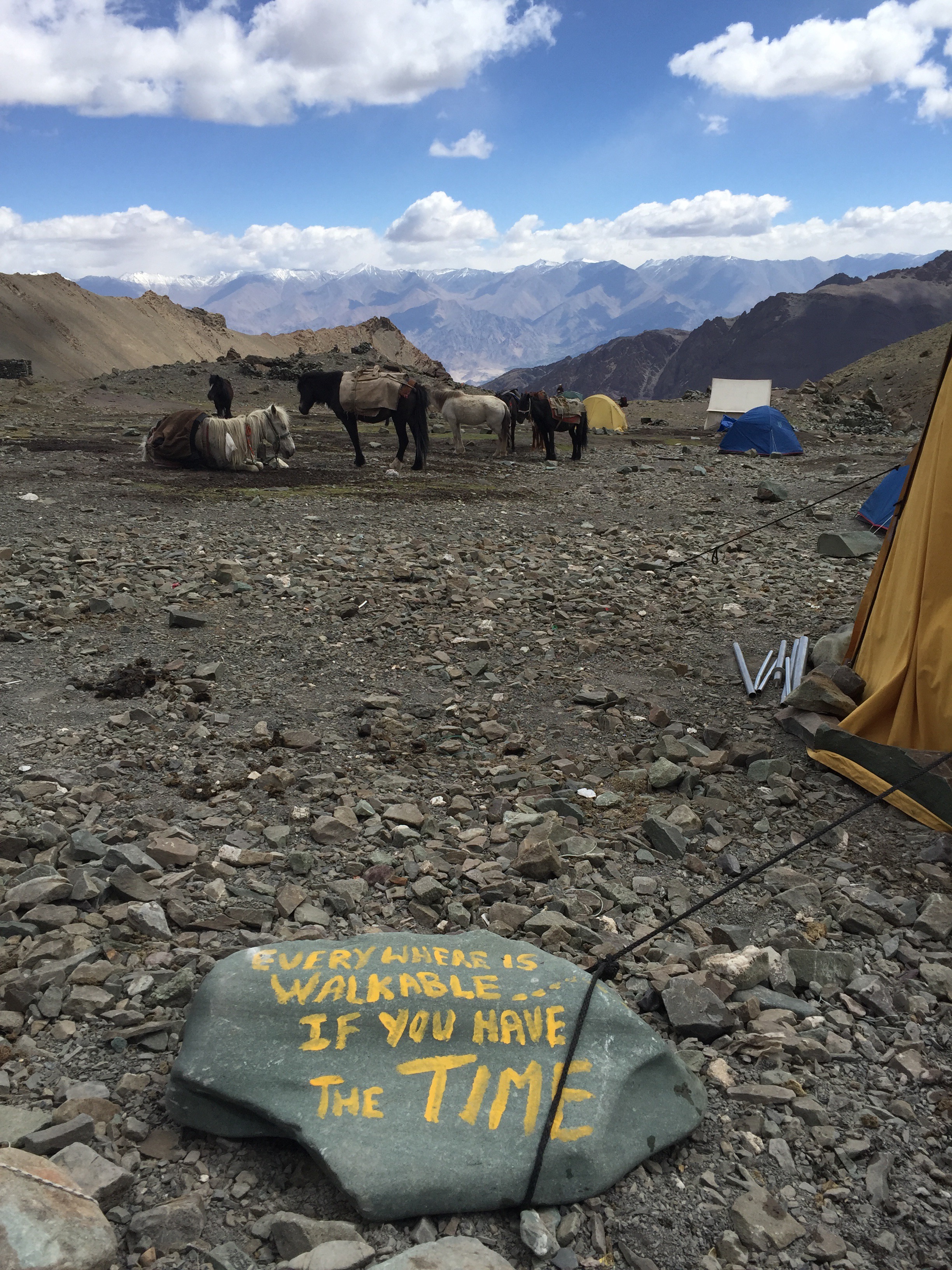
When I first arrived in Nepal I had read that the Langtang trekking region was completely shut down due to earthquake damage and new construction efforts. As the months wore on, I heard differently from locals who insisted that the park was still open and eager for business. Because it’s one of the country’s most famous and easily accessible trail systems, I was excited to get to see it for myself and learn exactly how the earthquake had been affecting local people in more remote areas.
Like both the Annapurna and Khumbu ranges, roads end early and villages at higher elevations rely on porters, animals, and helicopters to deliver their goods. And even though this transportation makes perfect sense in everyday business, for some reason seeing it used in reconstruction efforts was jarring, and powerful. All throughout my trek I saw young Nepali men carrying loads of wood more than three times their size. Mules would cart chairs, tea kettles, and cement mixture up these steep, high-altitude trails. Lodge owners were rebuilding gardens so they could rely on their own produce and thereby lightening the loads they’d have to carry up from lower in the valley.
The entire Langtang trek was an eye-opening experience of the don’t-give-up attitudes of local people who couldn’t wipe a smile from their faces, even in wake of such a powerful tragedy.

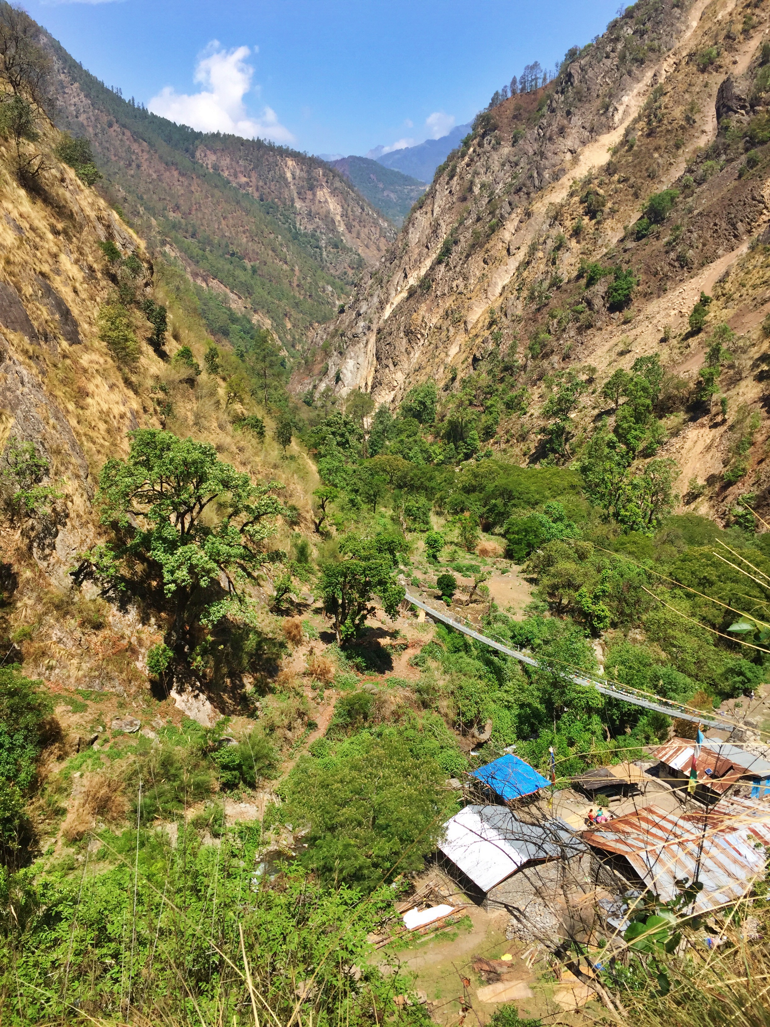
The long Langtang Valley stretching from Dhunche to the mountains
Day 1: Dhunche to Rimche
I am obligated to begin this passage by highly discouraging anybody from following today’s itinerary. Long story short, I got off on the wrong bus stop the night before. However, this mishap allowed me to glory in untouched nature and see the smallest Nepali villages most separated from the outside world.
I also got to enjoy all of this during 10 hours, 17 miles, and over 4,00 feet of elevation gain.

The road from Dhunche
After only a couple of days of the smog and congestion of Kathmandu, l was ready to get into the mountains again.
The day began with an annoying hike along the road. Luckily it was early enough where I didn’t see much traffic, but unluckily the road widened and shrank to barely a car’s width, so when towering trucks roared past at full-speed downhill, I jumped out of their way by dangling on rocks overlooking the hillside cliff. When I finally reached the trail, I was stopped by locals who discouraged me each time and told me to take a lower route.
The truth was, however arduous the steep hike up to Brabel was, its views were fantastic. Crystalline mountaintops peeked out from lower ranges that hid their startling snow-clad summits from the valley. The thick jungle blanketed me for most of the day, with exotic birds and monkeys larger than half my size jumping overhead. It was well worth the (exhausting) detour.
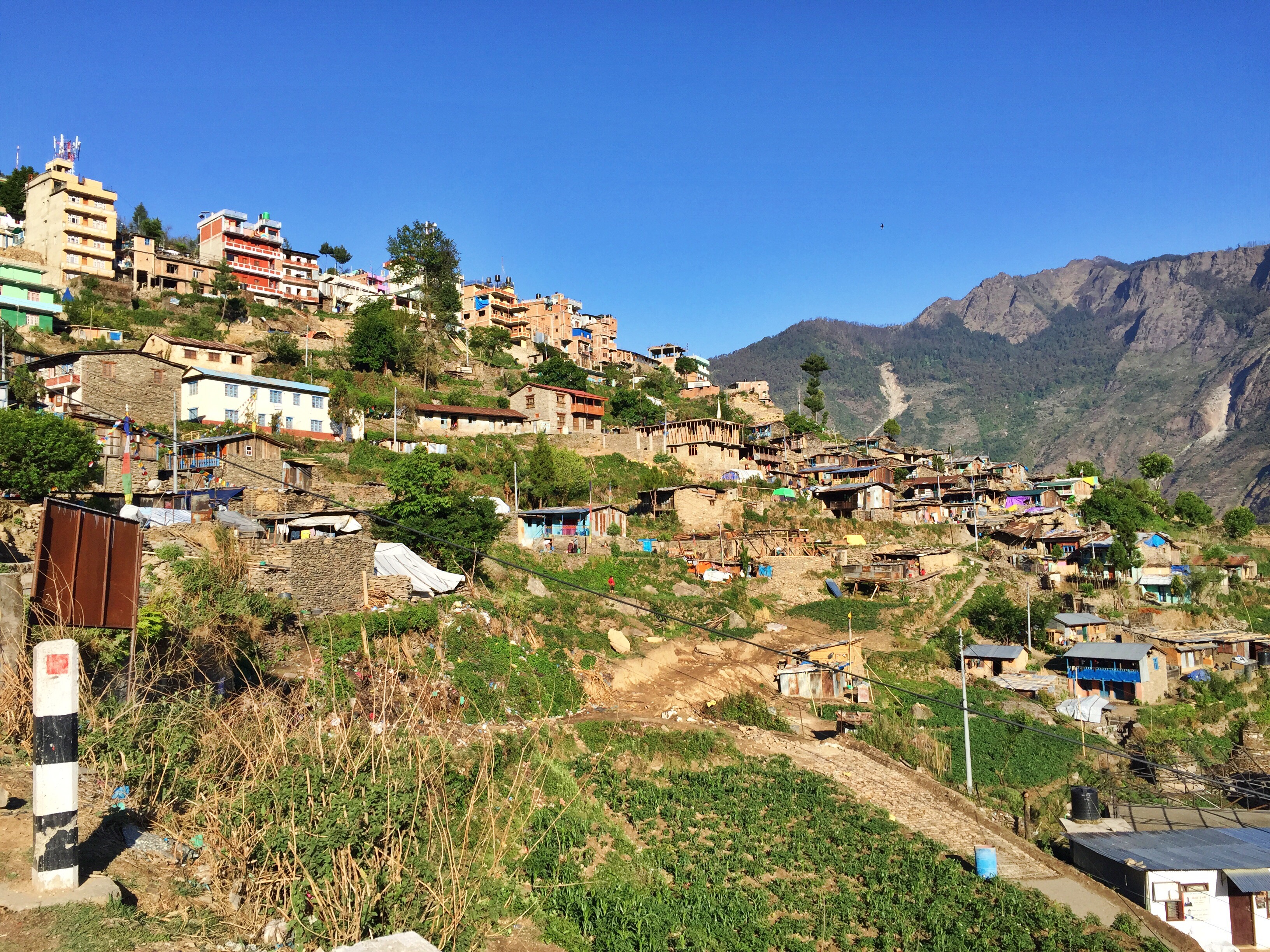
I had a quick lunch at Thulo Syabru, where I learned most people will stop for the night from Dhunche. This sprawling village sits along a mountainside that’s visible from days up and down the valley. Like so many other lodges I visited, the owners here had seen fewer visitors than past years, and were juggling reconstruction efforts with maintaining their business, hoping more tourists would visit in the fall season.


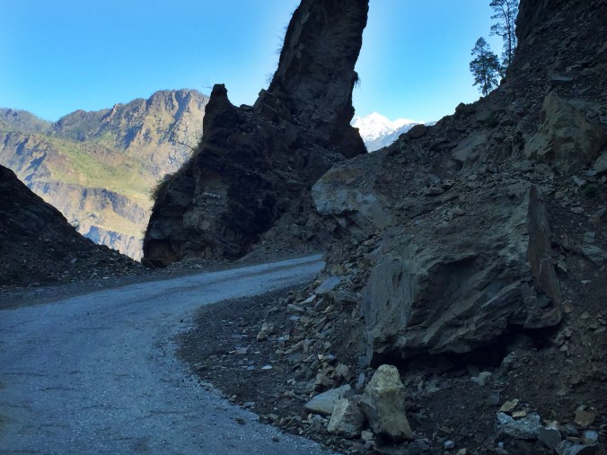
Road damaged from landslides are typical all along thr Langtang region
The afternoon hours blended together as the temperature rose and heavy heat stifled my progress. I drank four liters of water throughout the entire day.
Instead of overnighting at Lama Hotel, I stopped just 20 minutes short at the vertigo-inspiring scenery of Rimche. Its name alone evokes a feeling of being at the rim of the world – which is quite literally what it felt like.

Day 2: Rimche to Kyanjin Gompa
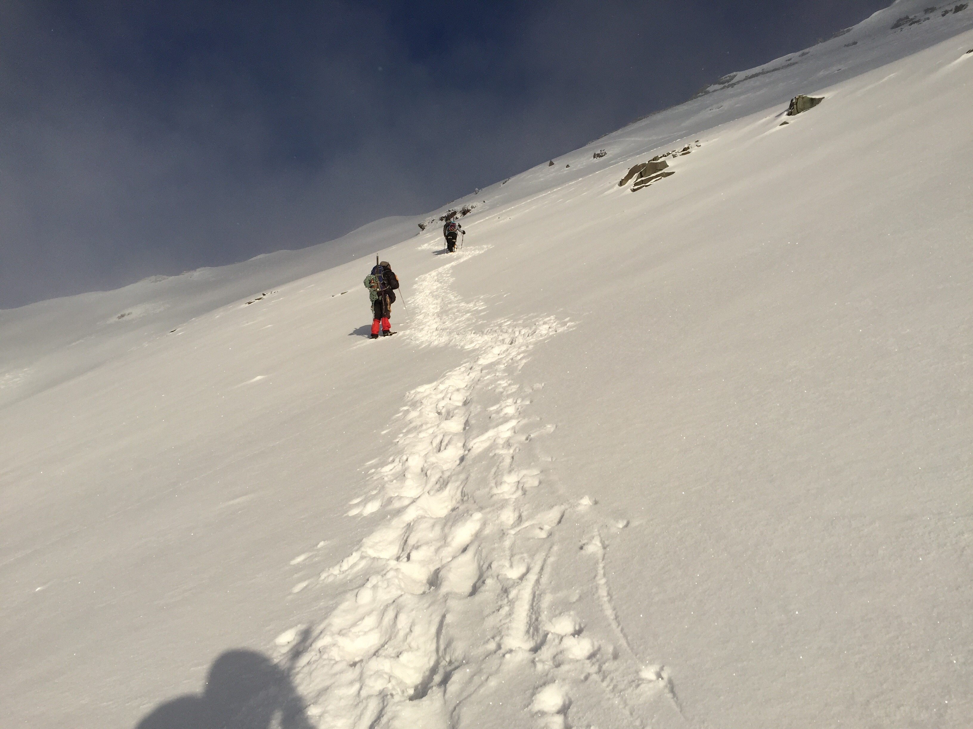
Before 7am I began the long, arduous climb through the forest out of Rimche. I expected to be gaining nearly 4,000 feet of elevation, but the going was much tougher than I’d made it up to be in my mind. Every turn I made brought more uphill eyesores. For every ridge crested, the trail turned downhill and retraced itself back skyward in an endless up-and-down tortuous game.

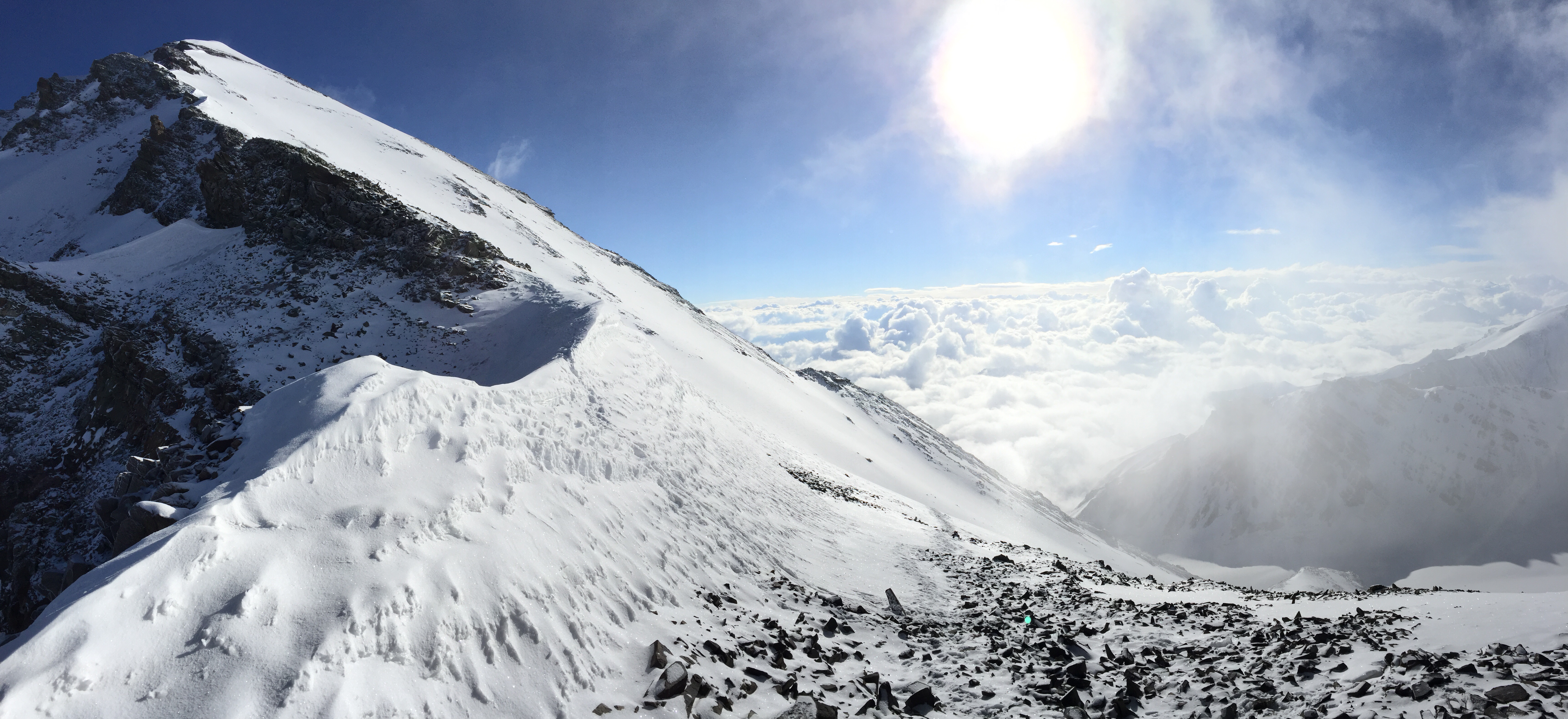
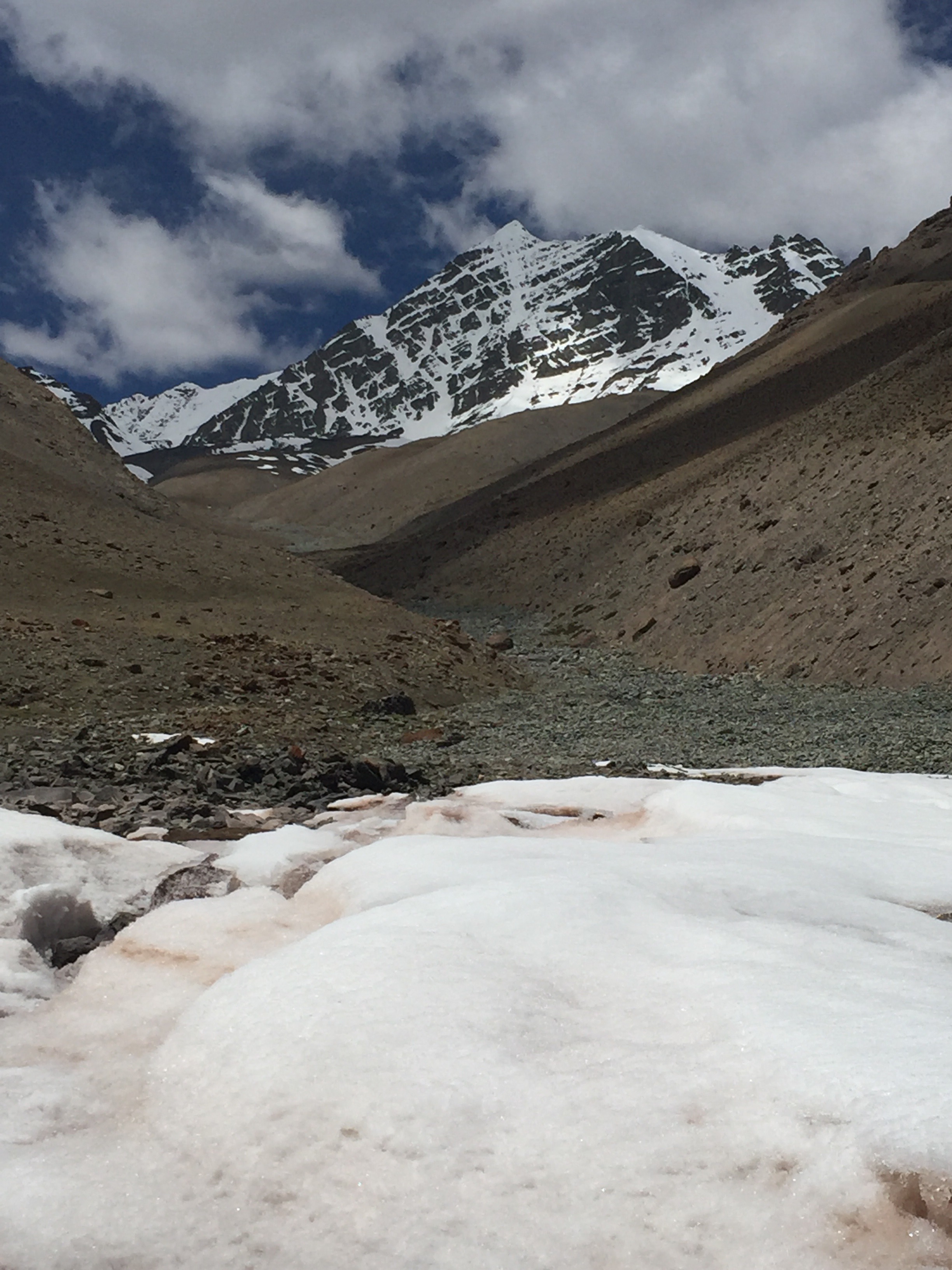
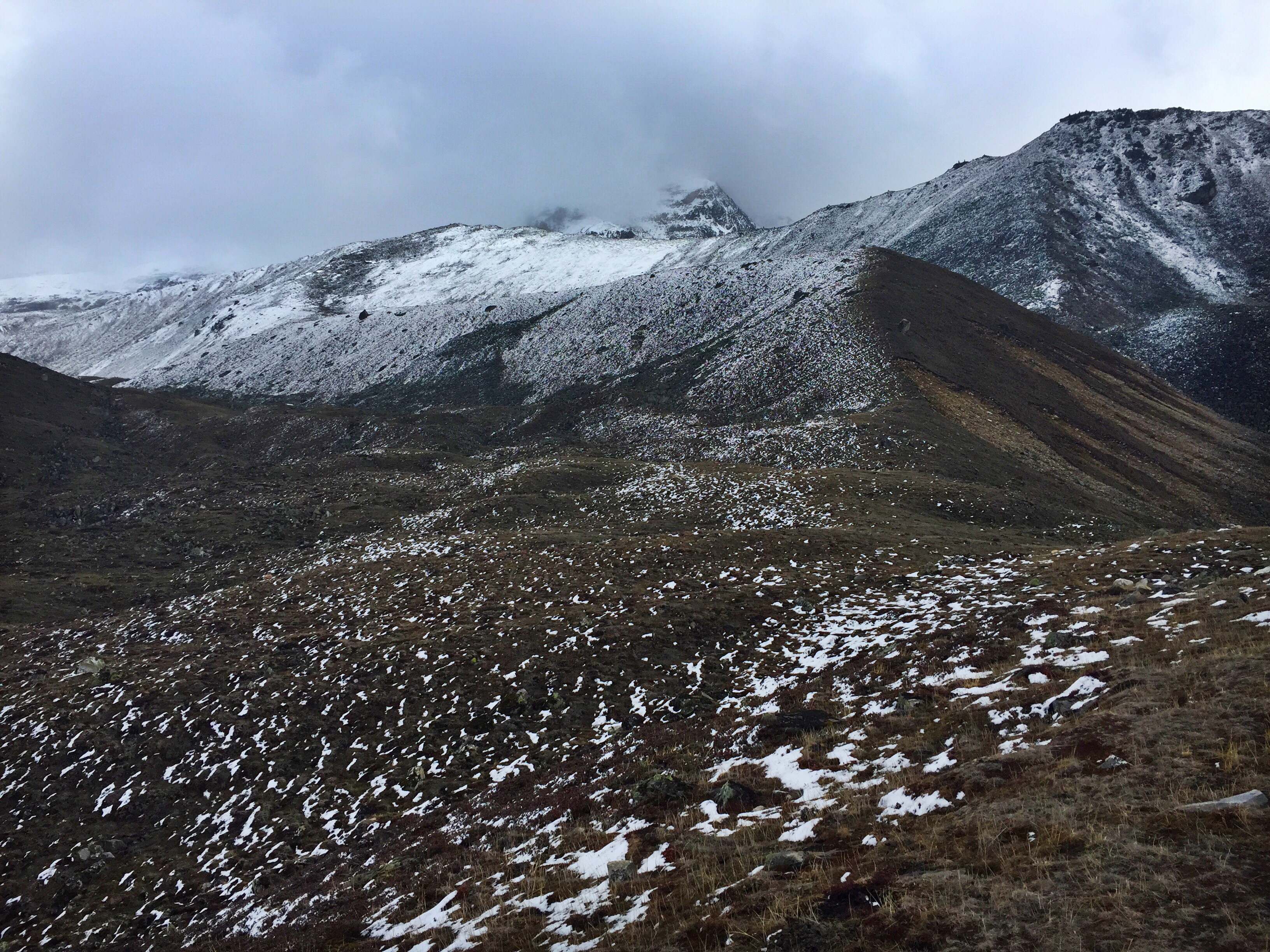
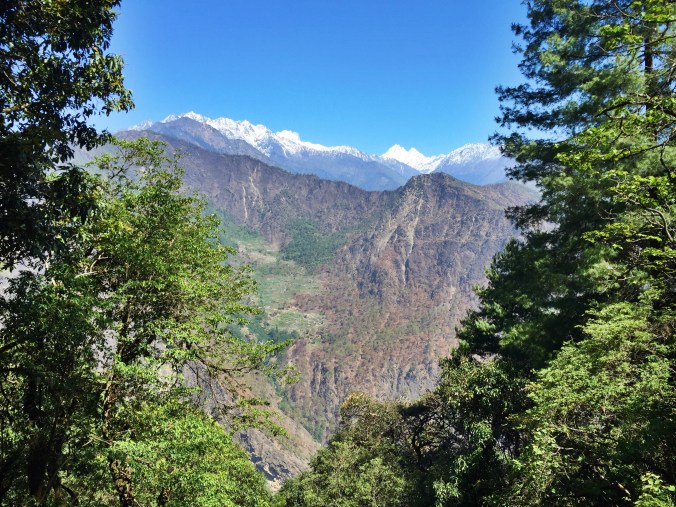
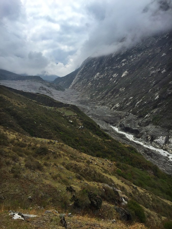
Finally, after just a couple of hours, I broke through the tree line and emerged into the glaciated, mountainous valley of Langtang. The sight of 7,000 meter peaks looming ahead of me took my breath away, almost as much as the altitude I was climbing to.
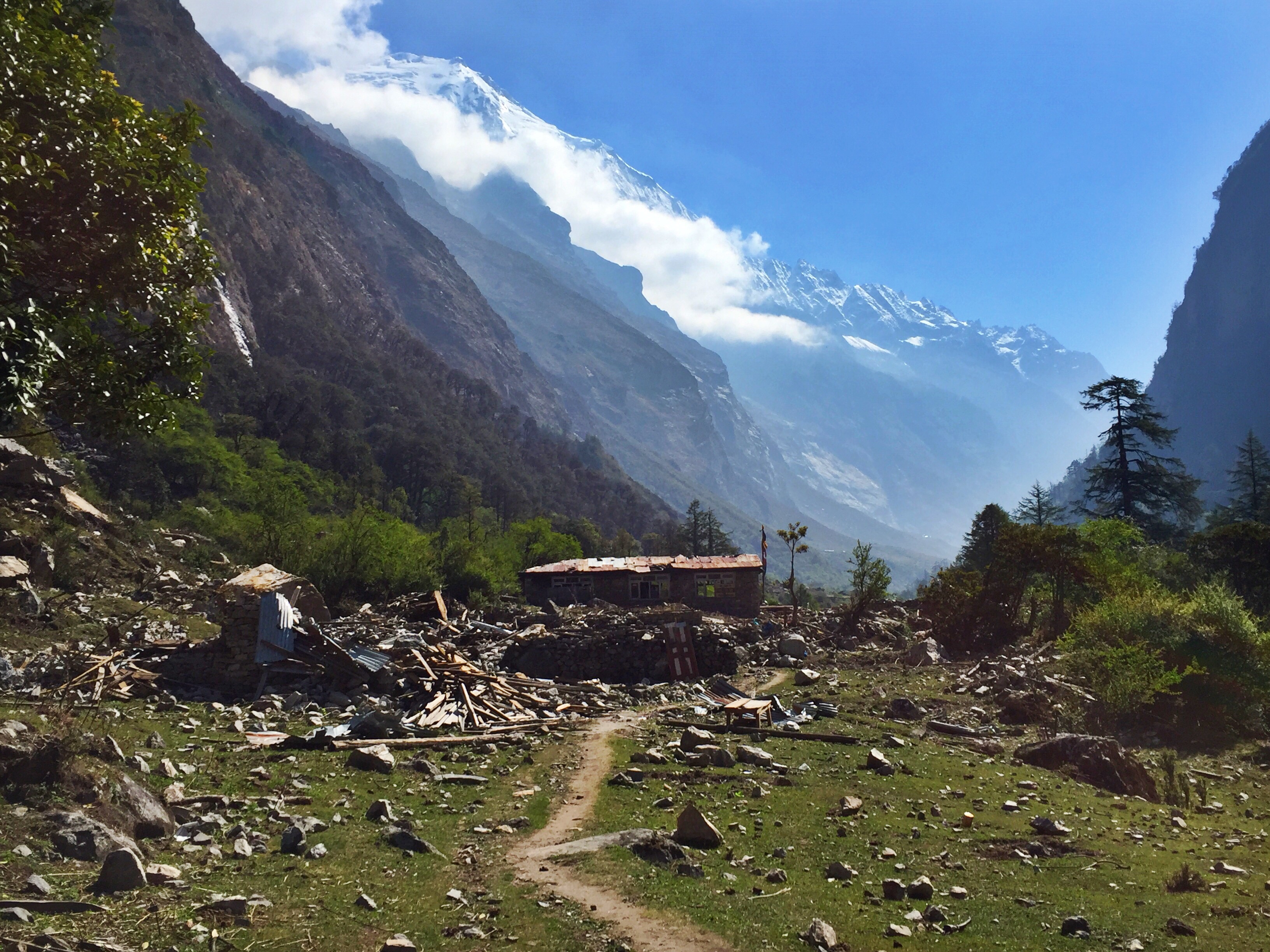
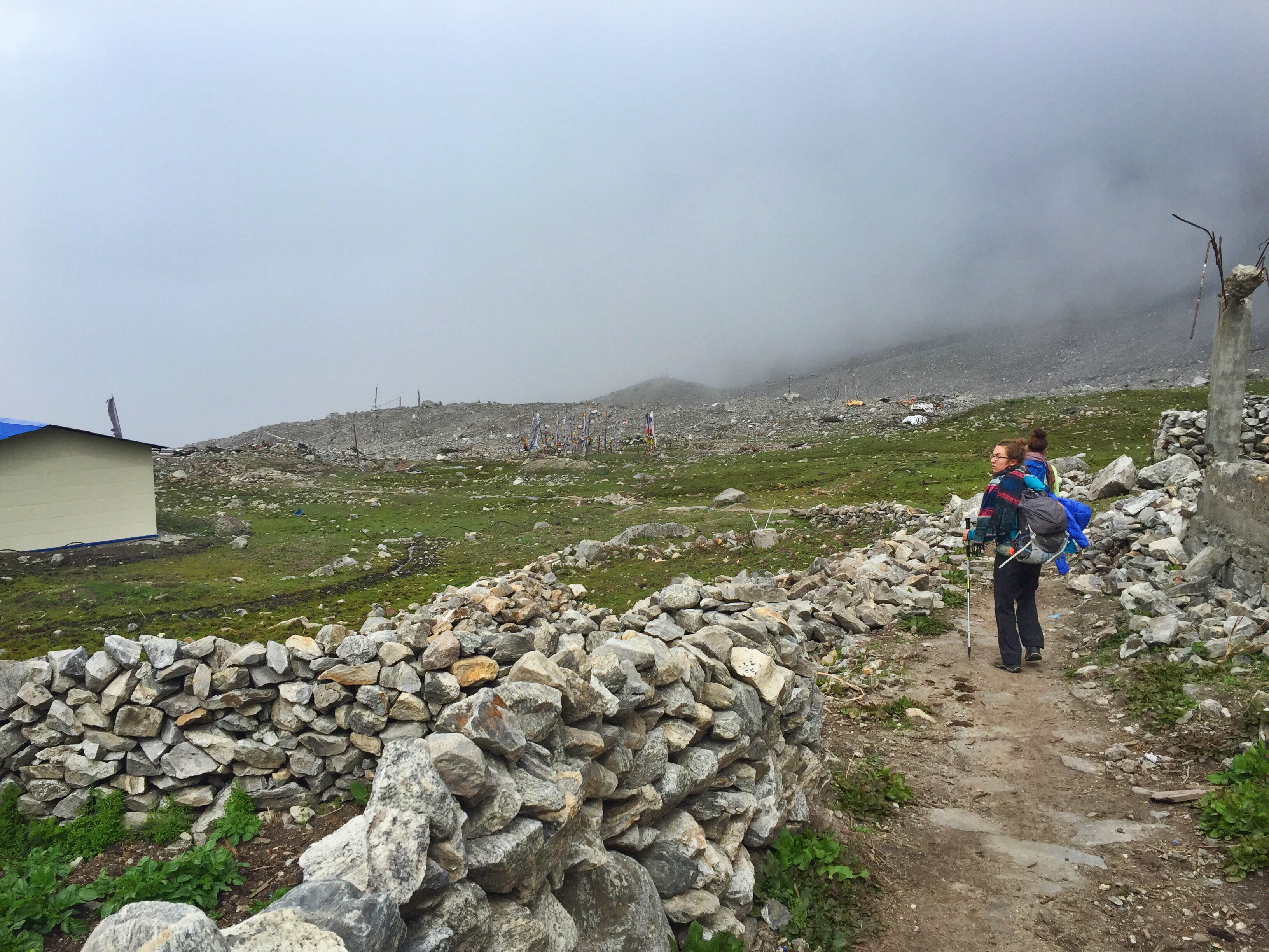
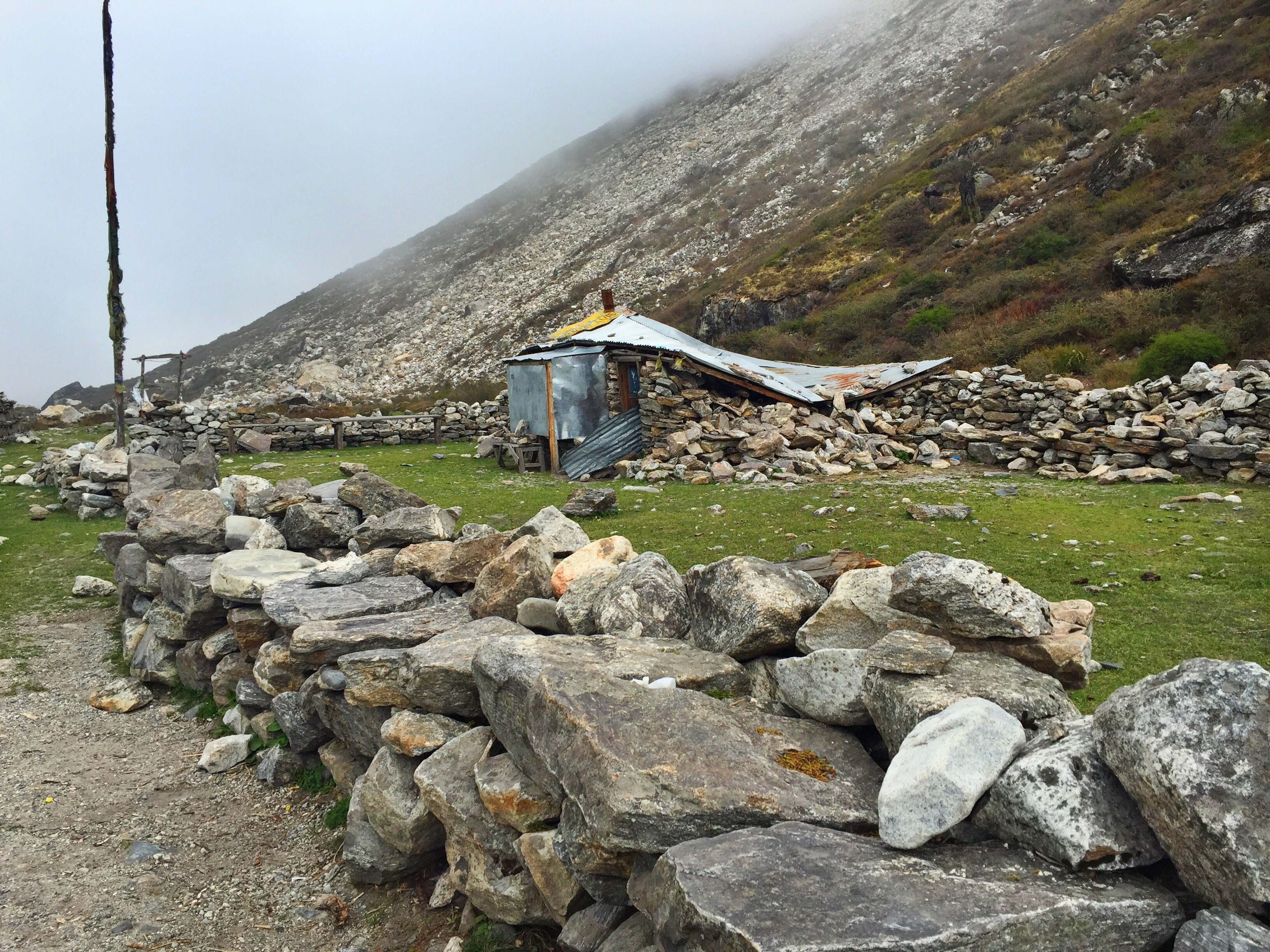
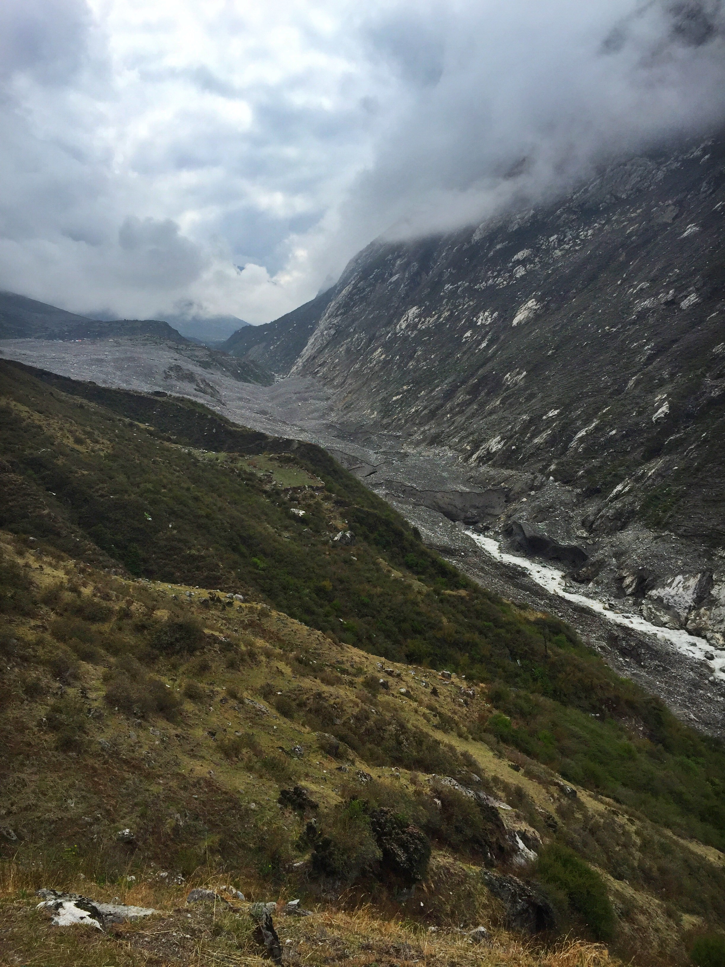
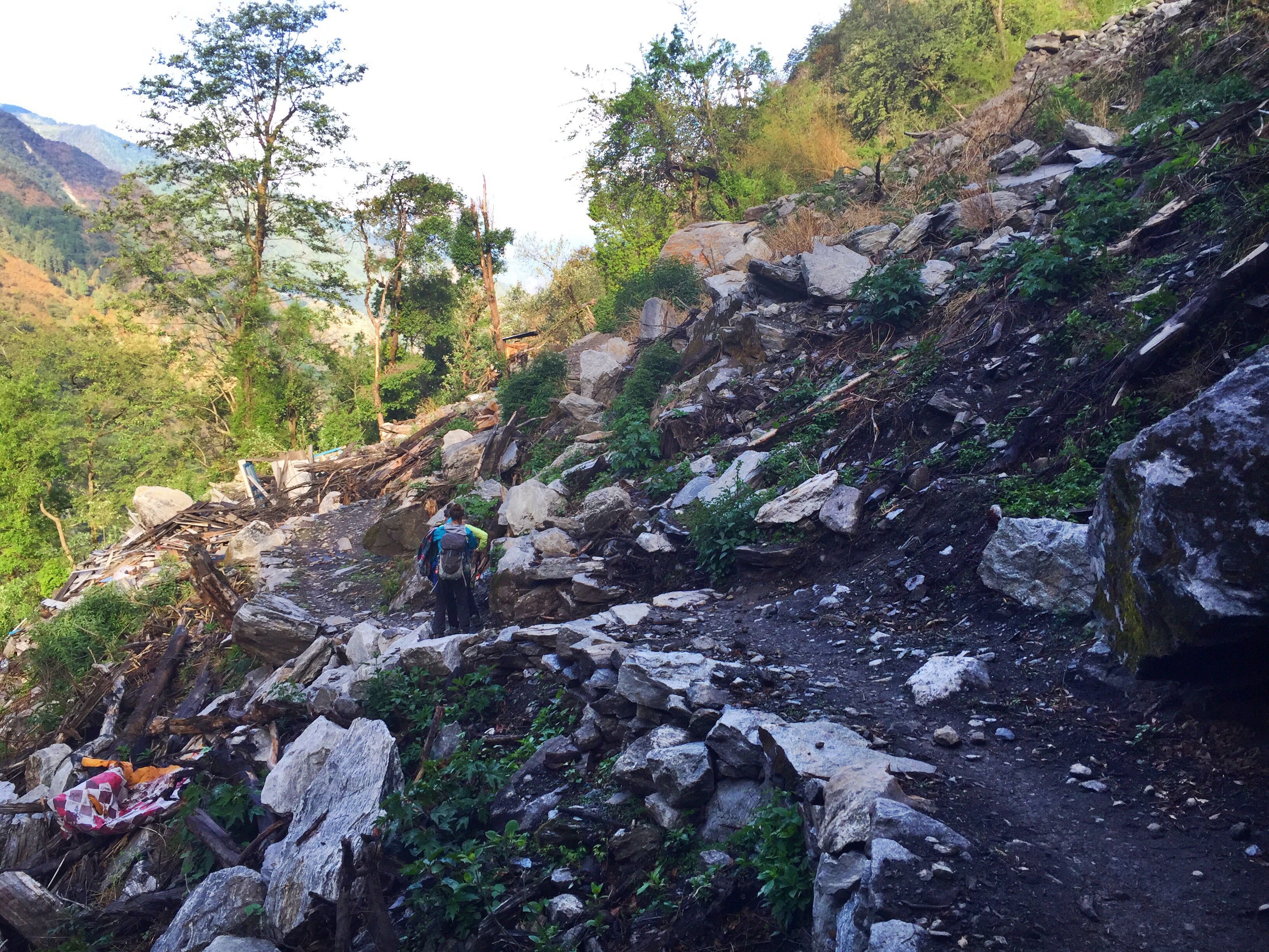
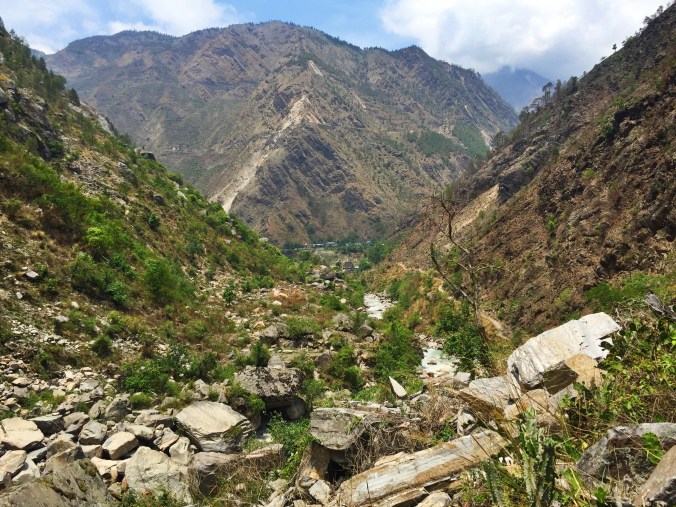
I’d walked over landslide-swept trails and some small ruins of buildings the day before, but nothing could prepare me for what I’d see today. Langtang Valley was THE most badly affected trekking area hit by the earthquake last year, with hundreds of people losing their lives, and thousands more forced to rebuild theirs. The very first village I passed was on the map, but was not on the trail any longer. A smashed building stood in its placed, gigantic rocks having rolled up around its base, with broken glass, bent frames, and splintered wood scattering a huge field.

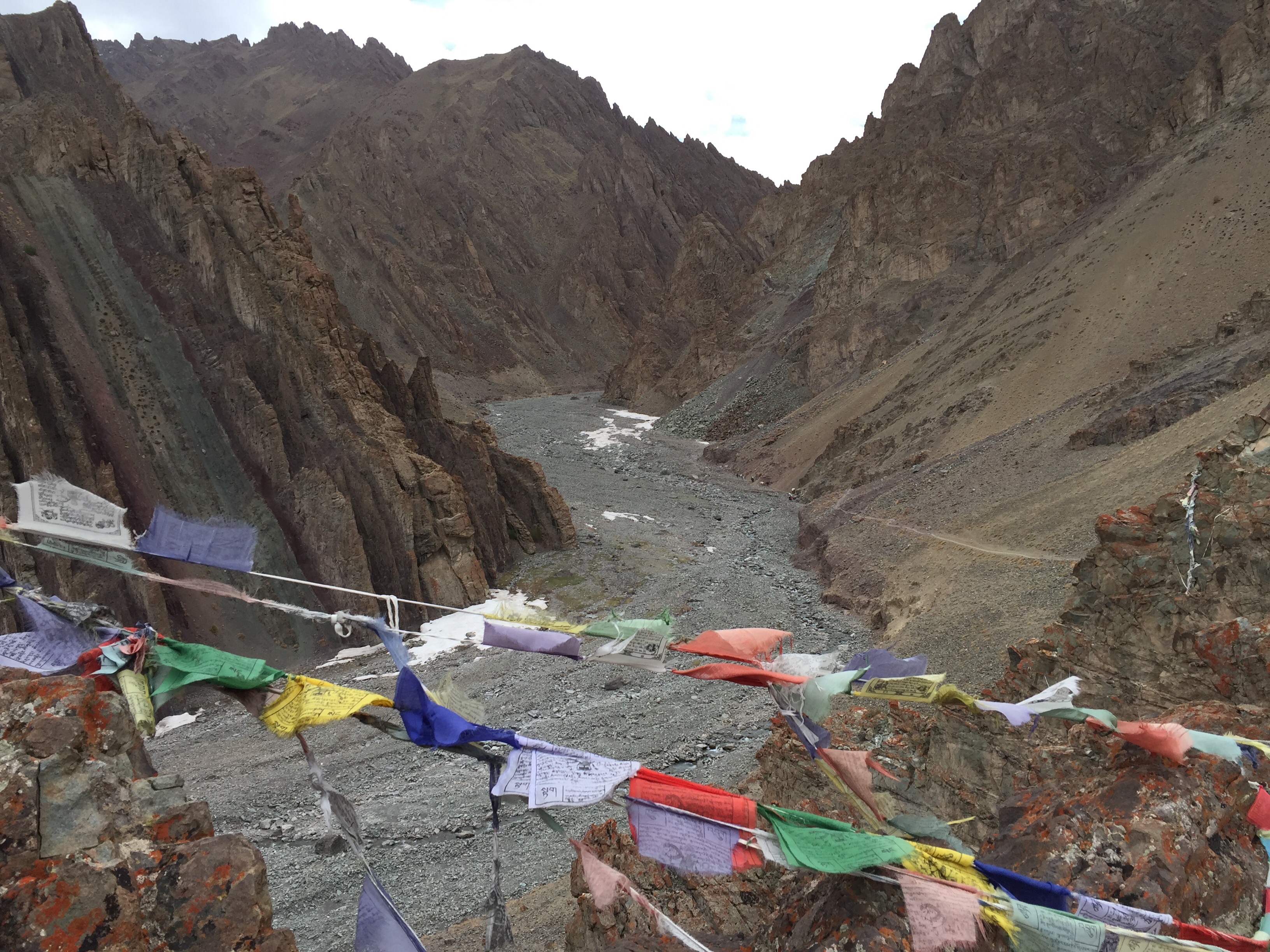
New trails wind through landslide damages from the earthquake
Farther along I passed similar signs of what had once been. Certain areas had been crushed from rocks tumbling down the steep valley walls, while others lay a barren wasteland of gravel. The trail wove up and down and throughout these never-ending rock fields. I learned later that white flags marked each spot where a lodge had once been, most without a single trace left to prove they had stood.
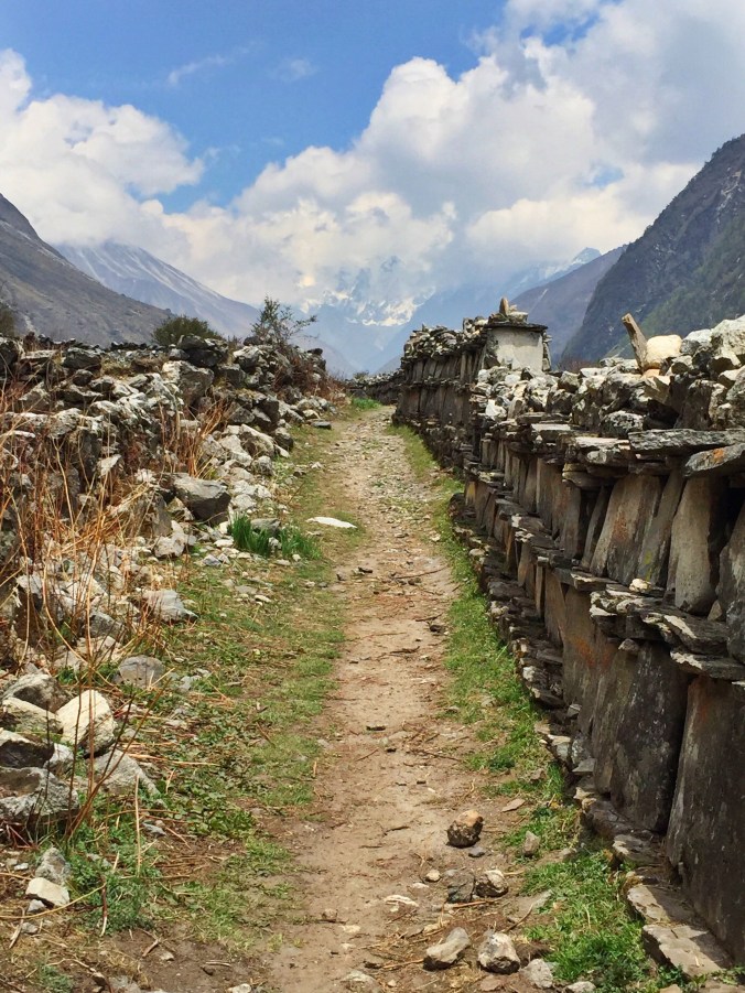
Prayer walls guide the trail up the valley
Days before I had been told that the village of Langtang itself would be desolate and empty, without any lodge options, forcing me to continue to its higher neighbor Kyanjin Gompa. Instead, I found at least a dozen buildings under constructions with workers hammering diligently away. A few places had been rebuilt just since the winter, and I enjoyed lunch at one of these brand-new lodges and met two Canadian sisters staying the night there.
Today was almost as long as the day before, so I curl up exhausted in my bed as soon as I find an open lodge with room. In fact, I’m the only guest there tonight, and my room is free as long as I purchase all of my meals there. By the time I leave in two days, 30% of my bill is racked up from the copious amounts of tea I’ve been drinking.
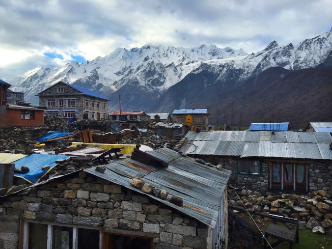
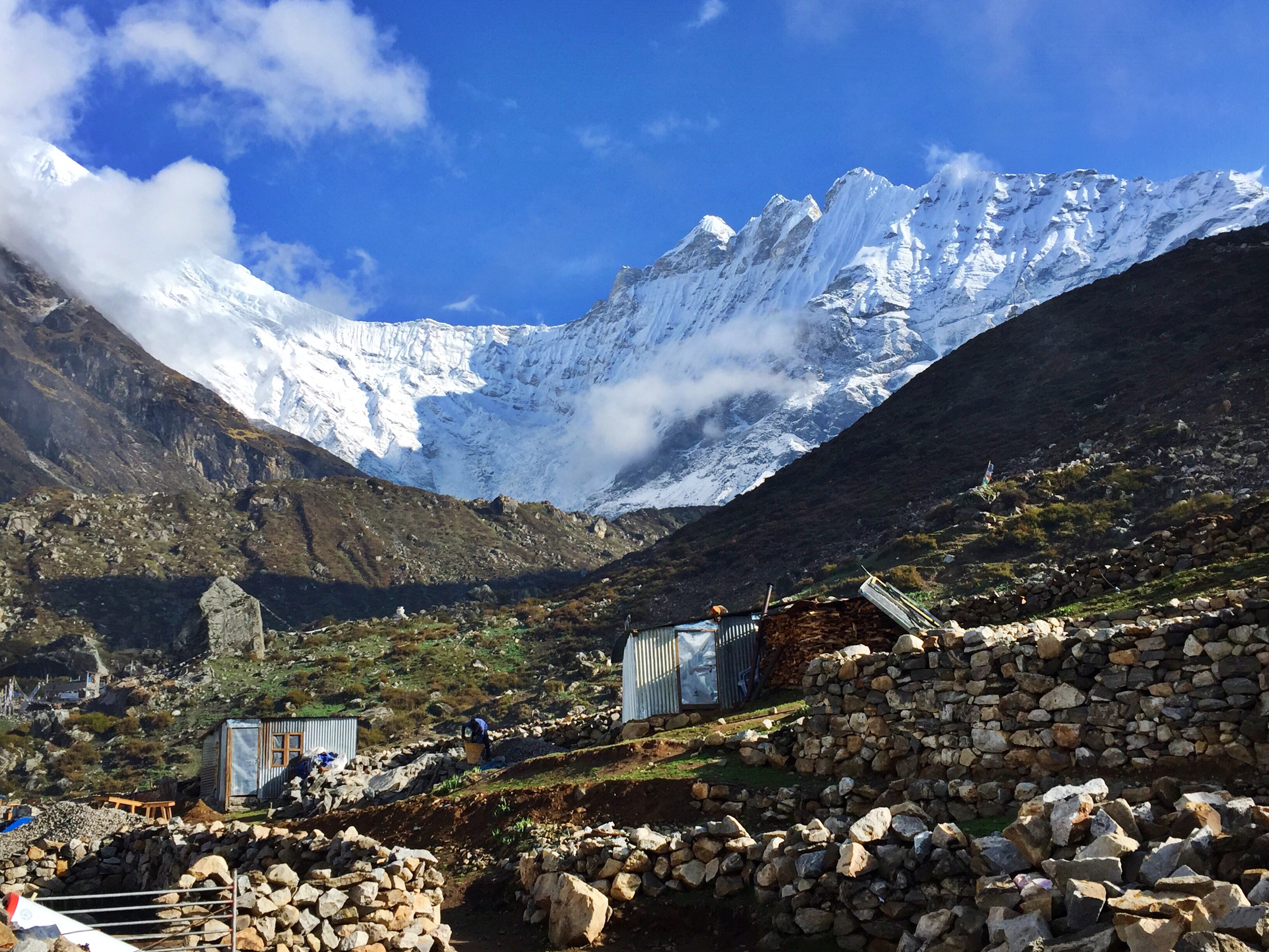
Mountain views from my lodge room
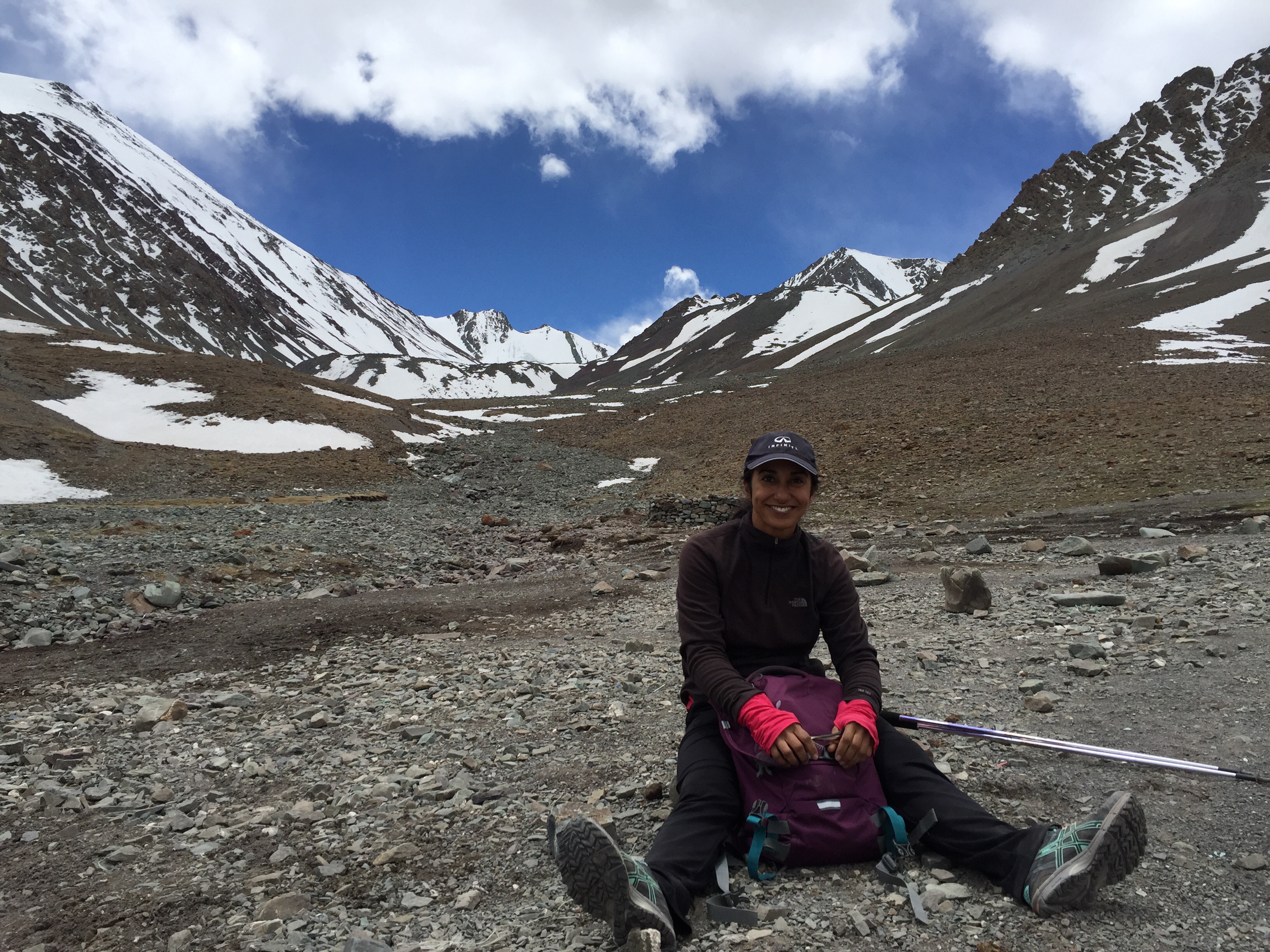
Day 3: Cherko Ri
A pounding rain wakes me up in the middle of the night, reminding me of how close we are to Nepal’s monsoon season, and promising clear skies in the morning. I wake early and quickly set out for my attempt to summit Kyanjin Gompa’s neighboring Cherko Ri.

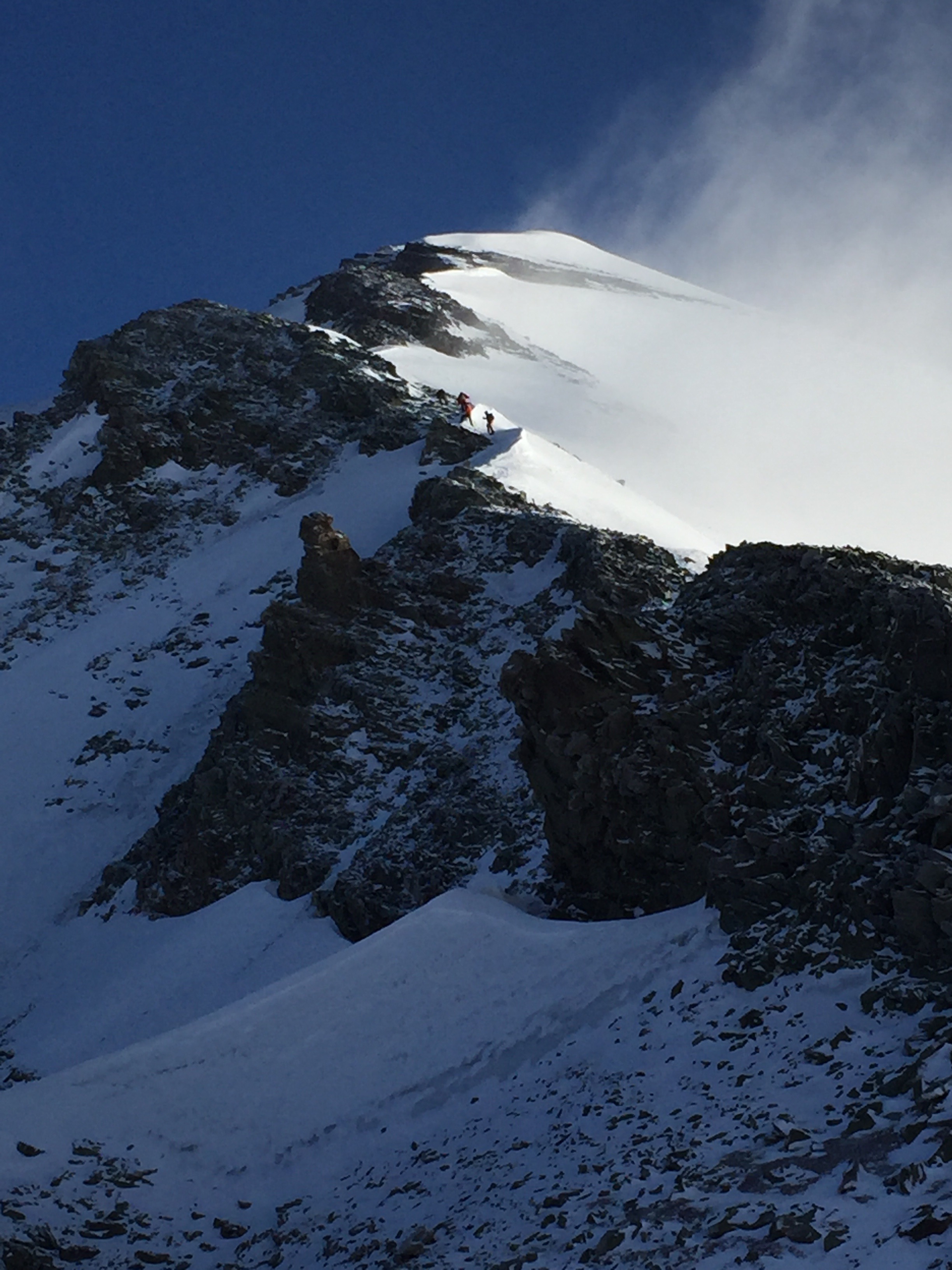
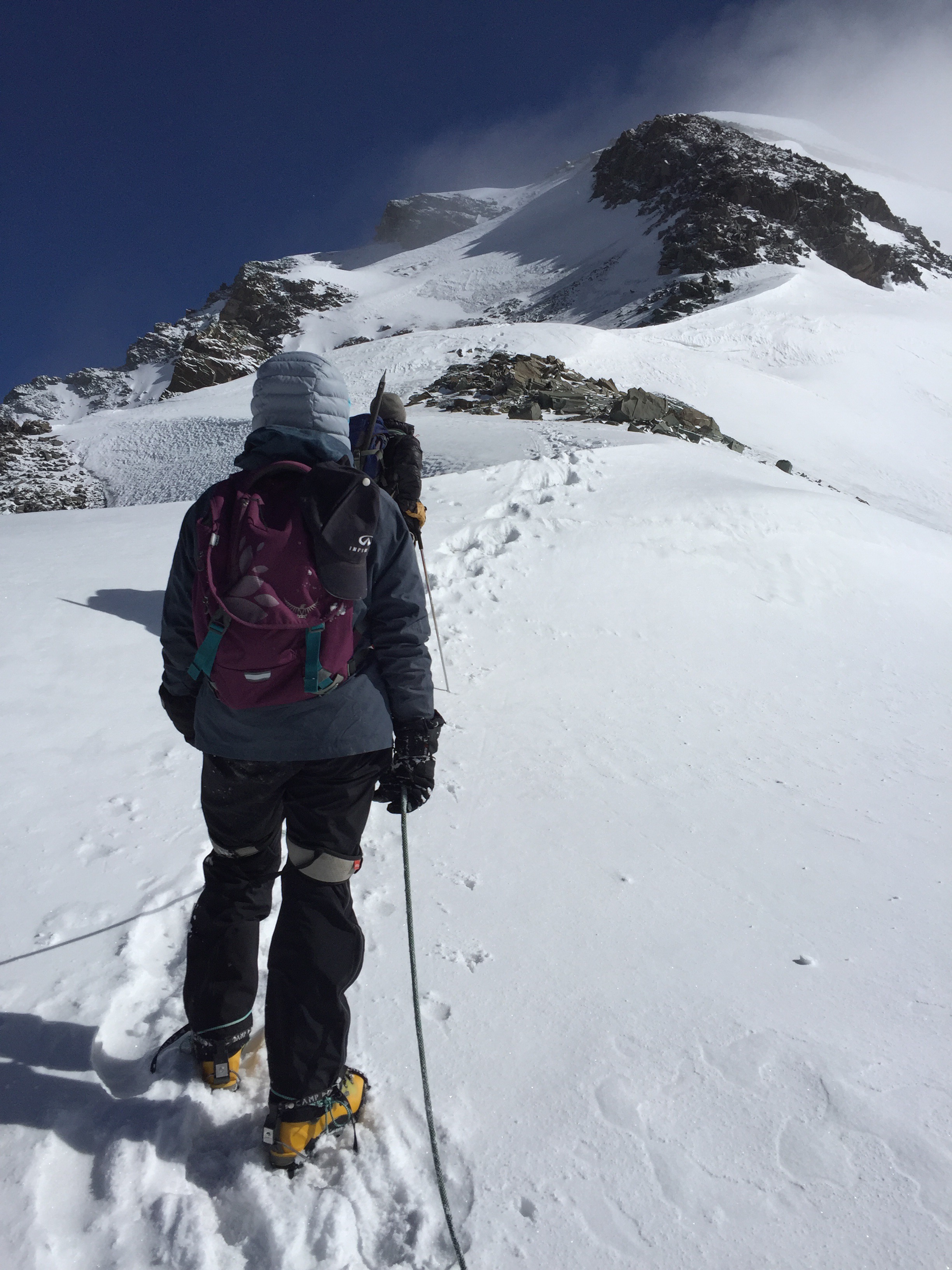
Cherko Ri is supposed to be a challenging day hike from Langtang Valley’s uppermost village. I was told by a few people that it should take only four hours to reach the top at a slow pace. Sure-minded as I was (or, arrogant), I assumed I would cut a few hours off of that time to enjoy the 4,900 meter / 16,000 ft. peak by mid-morning.

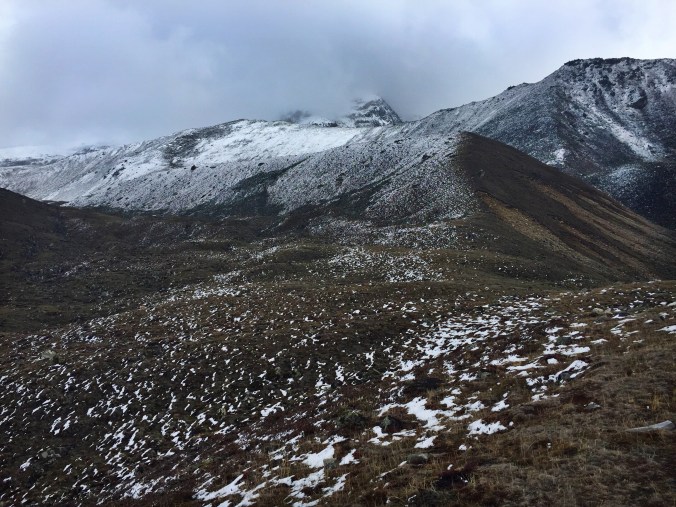
I did not encounter a single other person on the trail during my 7 hour day, which ended up as one of the reasons I used to turn around early. After four hours of hard, fast hiking, I came upon a wide, open field with peaks standing in every direction. I’d long lost the trail by then, and there was no clear direction as to which was Cherko Ri. Instead of wasting my breath and energy wandering through the snow, I decided to turn around.
I was disappointed not to have made the top, but judged my decision safe. The truth was that I had had a long two days before. I was on an ambitious acclimatization schedule, ascending from 4,000 feet to 8,000 feet to 12,000 feet, to attempt a 16,000 foot peak in just three days. No matter how much hiking I’d done in the last few months, the sudden change in elevation left my head heavy and pounding.

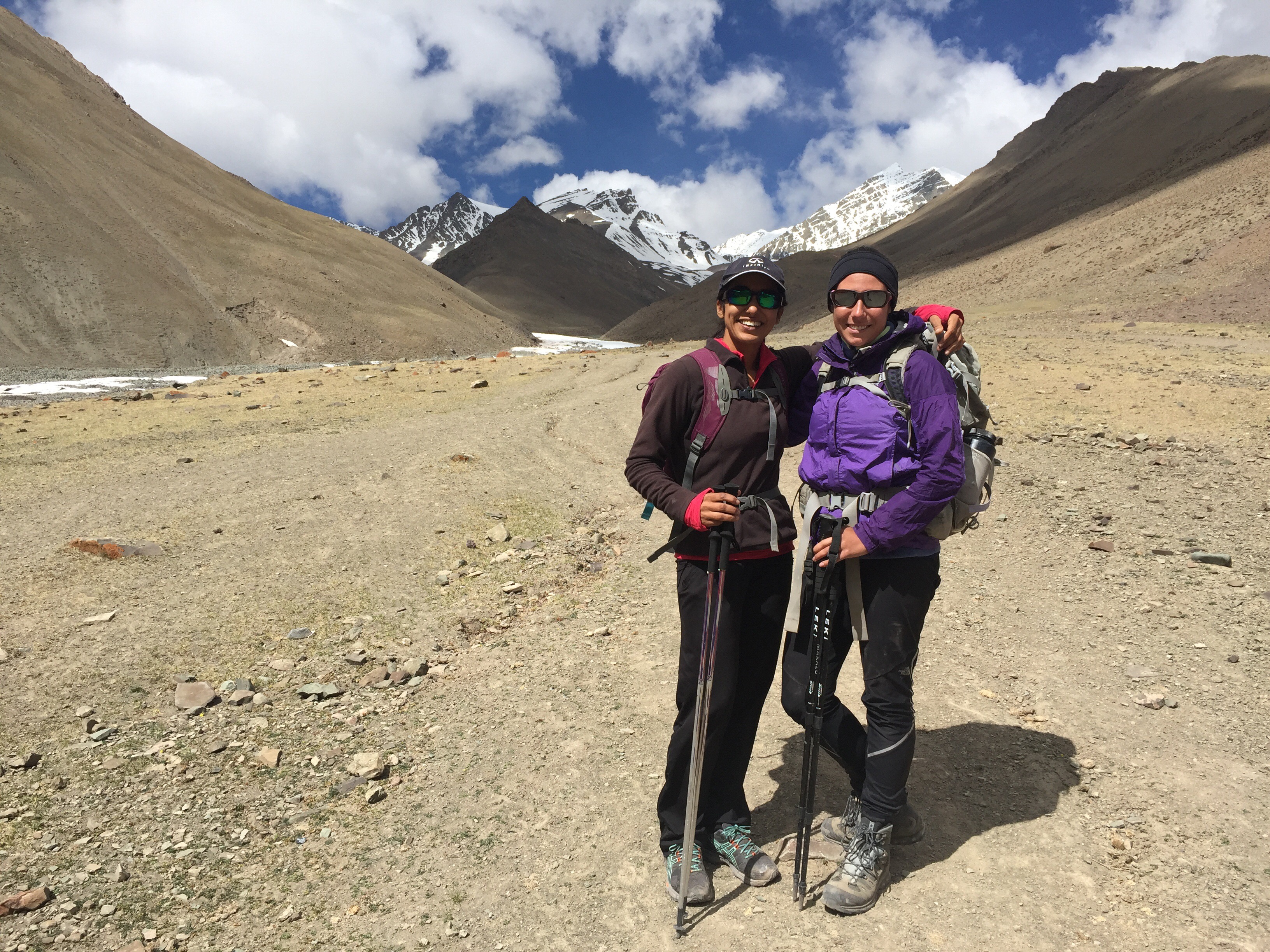
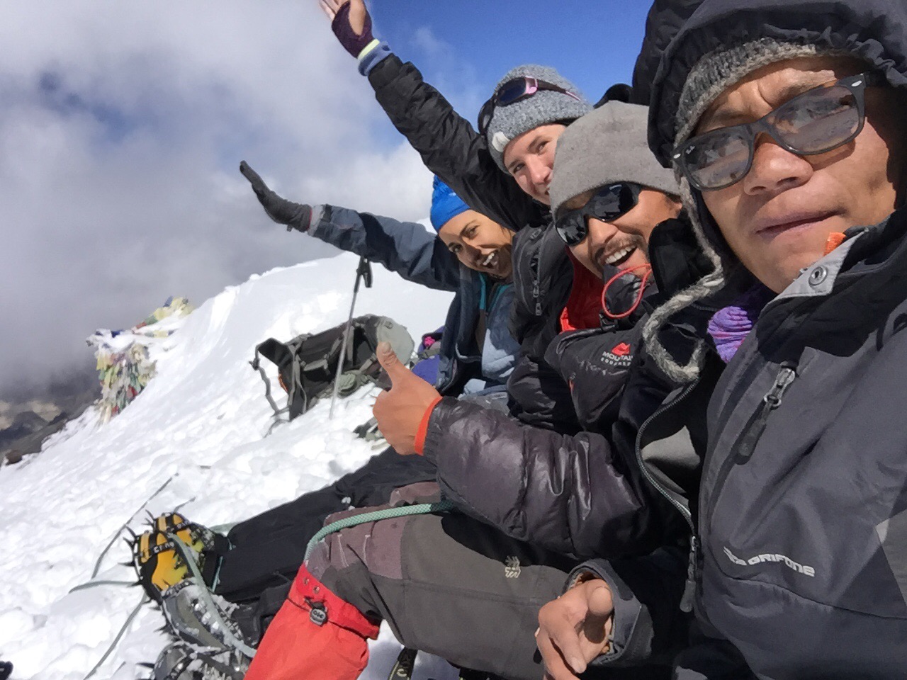
Cozied up to our lodge’s fire, I’m reunited with my new friends, the Canadian sisters Andreanne and Joannie, who were also descending the next morning following some unpleasant effects of altitude. We talk about the pros and cons of traveling abroad as solo female Westerners, and they share some of their prized Canadian maple syrup candies with me.
Day 4: Kyanjin Gompa to Rimche
The three of us are on the trail by 7am this morning, completely enveloped in thick, damp clouds. Like every other morning, workers are hammering and shoveling away by the time the sun came up hours earlier, and will work through sunset. We all notice the rapid progress of rebuilding efforts. Buildings that had stood as frames just two days before now sported doors, windows, or roofs.

The sisters show me landmarks and share facts I missed on my ascent through the valley. I look twice at the hills dotted with white prayer flags to mark where lodges had once been, and notice even more ruins poking through other sections of rock scattered hundreds of yards away from the crumbling valley wall.

Most damaged buildings have been left untouched; pieces of wood and frames can be used for reconstruction of new lodges
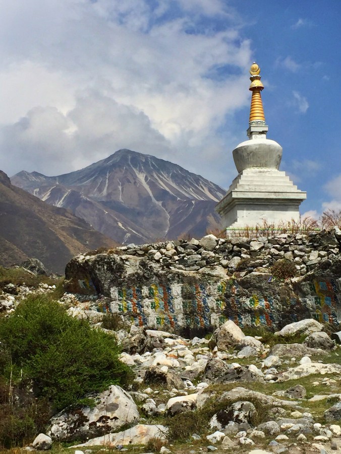
On my way up, I had passed through an area enclosed by circles of prayer flags around what I originally saw as a stack of prayer stones, the same ones that guided our way up. Returning through, Joannie shows me that this is actually a memorial monument with inscriptions of the name of all the people who lost their lives in the valley from last year’s earthquake. There are hundreds of Nepali names, and two entire stones dedicated to the names of visiting foreigners. It is a beautiful and sombering stone.
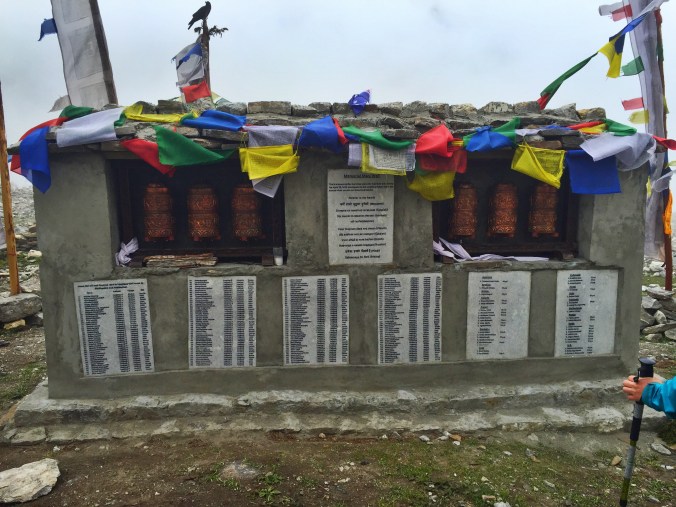
The 2015 earthquake memorial
Today’s break from the blazing sun was much welcomed and allowed our lips and shoulders to heal their burns. The heavy clouds gained weight in the afternoon and we spent our final few hours walking through a cool rain. The three of us pressed on in the wet to the lodge I’d stayed at on my way up, enjoying valley views, a warm shower, and our favorite endless meal of dal bhatt.
Day 5: Rimche to Syabrubesi
It’s already warm out by the time we start our descent at 7am. Light fills the valley and the blazing sun follows us all morning as we wind through rocky moraines and through landslides from the earthquake and its aftershocks. There have been more than 400 aftershocks since Nepal’s April 2015 earthquake.

We wind west at the intersection that would’ve taken me back to Thulo Syabru from my first day, and it’s the first time I’ve seen the valley’s thick riverside jungle, and become friendly with its gnats (who, for reasons unbeknownst to me, find my face a deal more sweet than my comrades).

By the time we see Syabrubesi in the distance, we are stopping every moment we can find shade underneath trees and bushes. Our brief breaks from the sun slow our progress just as much as our heavy feet and exhaustion. The town simply never seems in reach.
First views of Sy
We finally arrive, with a few dozen restaurant and lodging options in every direction. Syabrubesi is much more tourist-friendly and amiable to trekkers than its neighbor Dhunche. The road here is fairly new, its identity as the starting point to the Langtang trek.

The Langtang region turned out to be one of my favorite experiences of my entire three months in Nepal. Like the city of Kathmandu itself, I came with low expectations, assuming I would be befuddled with the grief, depression, and aftereffects of the earthquake. But it was quite the opposite.
One of the most important lessons I have learned and seen firsthand in this beautiful country is the resilience and pure, genuine love for life that the Nepalese have. The earthquake was devastating, there is no doubt, but that event won’t wipe the smiles from their faces forever. The Nepalese and the countless friends who have jumped to help their cause will rebuild their communities and their country. And in the meantime, each of these people and places will retain this irreversible beauty and continue to be one of the top destinations for tourists worldwide.