Alamere Falls via the Coastal Trail

On Saturday we unknowingly ventured along a northern portion of the same Coastal Trail that you can follow along Muir Beach to Rodeo Beach, this time starting 10 miles north of Stinson Beach. Alamere Falls has made a name for itself as a beautiful and popular Bay Area getaway spot. From San Francisco, it takes about 1.5 hours, mostly due to the scenic winding of Highway 1.

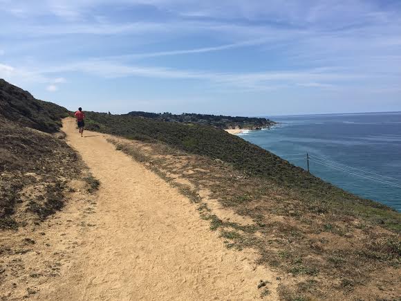
This hike was similar to other seaside trails around The Bay; soft ground, exposed with little shade, and extremely populated by the early afternoon. As we’d been warned, we had to park out car about a quarter mile down the road from the trailhead since the parking lot was full by noon. I didn’t include a time estimation below, because we were with a group of 7 and took our time making our way through the trail, stopping to picnic at Bass Lake and spending a while at the turnaround spot: Alamere Falls.

Bass Lake

Bass Lake

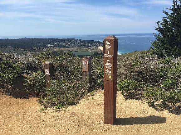
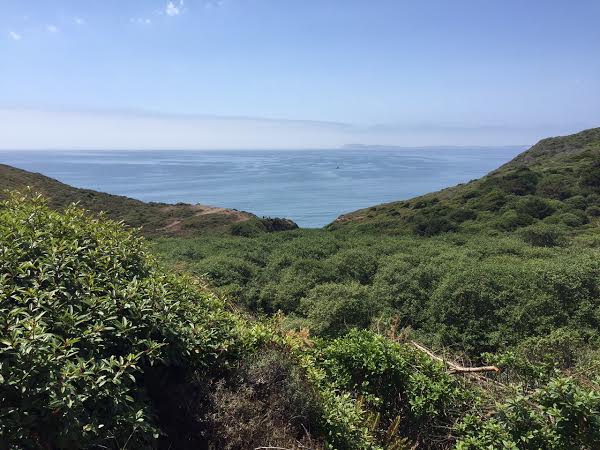
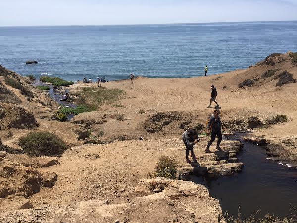
The last few miles to the falls open up on another ocean view, and that’s when you’ll want to look out for an old trail sign on your left covered in graffiti that serves as the cutoff to Alamere Falls. At this point, you will have gone about 3.75 miles and only have .4 left on a narrow trail that takes you straight to the oceanside.

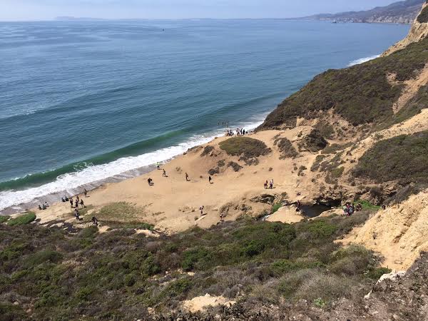
The falls drops a couple hundred feet down to the beach, which will be even more crowded than the upper areas of the trail. And even though California is full-force in its drought, the falls were still running with plenty of water. Speaking of water, our group grossly misestimated the heat of the day and we were without water the last couple miles of our trek – which should serve as an easy reminder for next time. I noticed that most hikers brought swimsuits and towels to take full advantage of their beach destination.

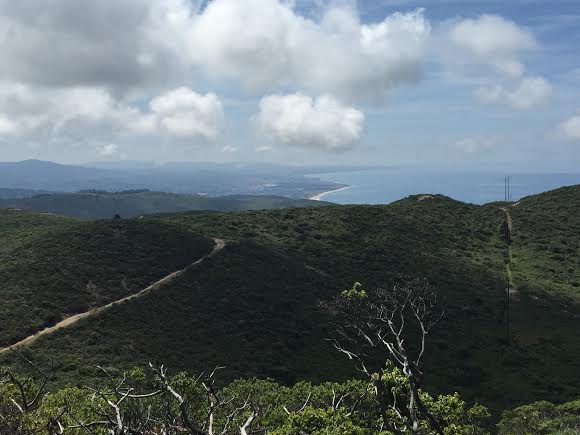
The long, dusty walk back to the car was eased with more views of the ocean. I’ll be returning here soon to try a trail run, a little earlier in the day, and with more water.

QUICK STATS

  • Length: 8.3 miles
  • Elevation gain: < 1000k ft.

Montara Mountain from Graywhale Cove State Beach

This weekend I ventured to a popular seaside trail that’s just 20 minutes south of San Francisco. Leaving the city using I-280, I took the Highway 1 exit for just about 10 miles to one of the northern-most trail entrances. There are actually four different routes you can take up to the peak of Montara Mountain, depending on which trailhead you choose to park at:

  • 3.5 miles from San Pedro Valley County Park trailhead.
  • 3.9 miles from Mc Nee Ranch trailhead.
  • 4.1 miles from Farralone Cutoff, Montara.
  • 4.8 miles from Graywhale Cove SB.

unnamed

This parking lot will get full as the day goes on – this is what it looked like at 10:30 am. The first quarter-mile of the hike climbs upwards and then slopes out into a flat trail that continues around the hills. This trail makes for a very popular and crowded place for day hikers, trail runners, and cyclists.

unnamed-1

Follow the path south, until it turns inward. Within a half mile the trail will fork into two directions: A steep upward slope to your left (an unofficial “shortcut” that will take 1.5 miles off), or continuing to the right, where the trail makes a slow, windy ascent through some shade on a fire road.

unnamed-2

On the fire road, looking up a few miles and about 2,000 vertical feet to the top of Montara Mountain.

unnamed-3

At the top of this forested section, the fire road runs into the end of the shortcut before continuing up incredibly steep, exposed, dusty slopes. There’s no shade for the last few miles here, so you’ll want to bring some kind of sun protection.

unnamed-4 unnamed-5

This dusty, rocky trail continues up a few more miles to the summit. Along the way are cutoffs to other trails, and I ran into a lot of other hikers and runners who had joined up near the top from different directions around the mountain.

unnamed-6

At the top, you’ll enjoy valley views as well as a stretched-out look at Pacifica and its popular beaches. Since this was a pretty grueling incline without any place to hide from the sun, I promise you’ll enjoy the way down much more than the ascent!

unnamed-7

QUICK STATS

  • Length: 9.6 miles
  • Elevation gain: ~2,000 ft.
  • Time: 2 hours