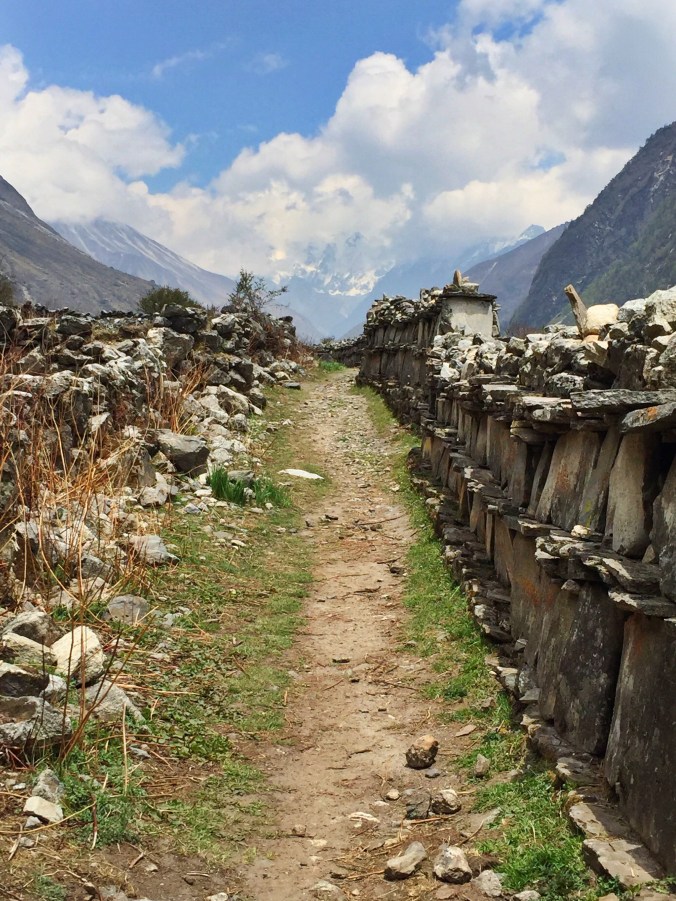
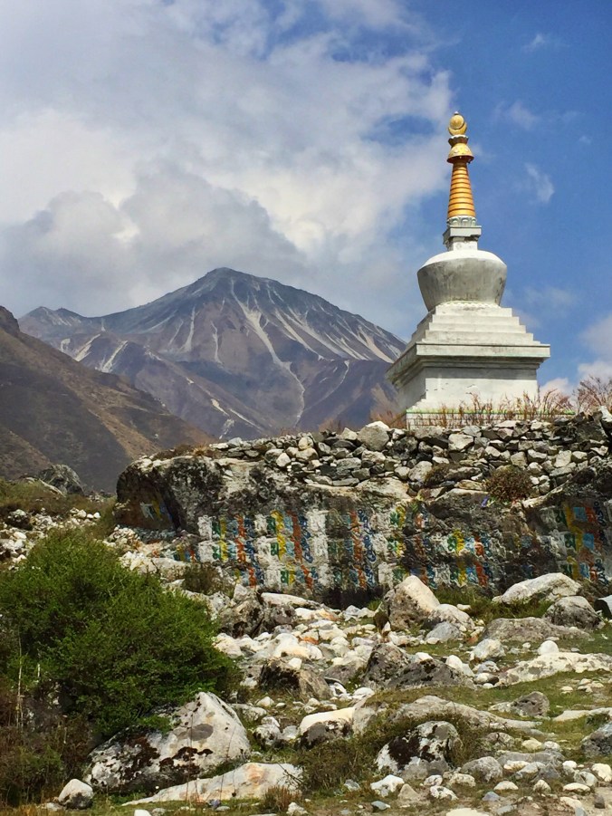
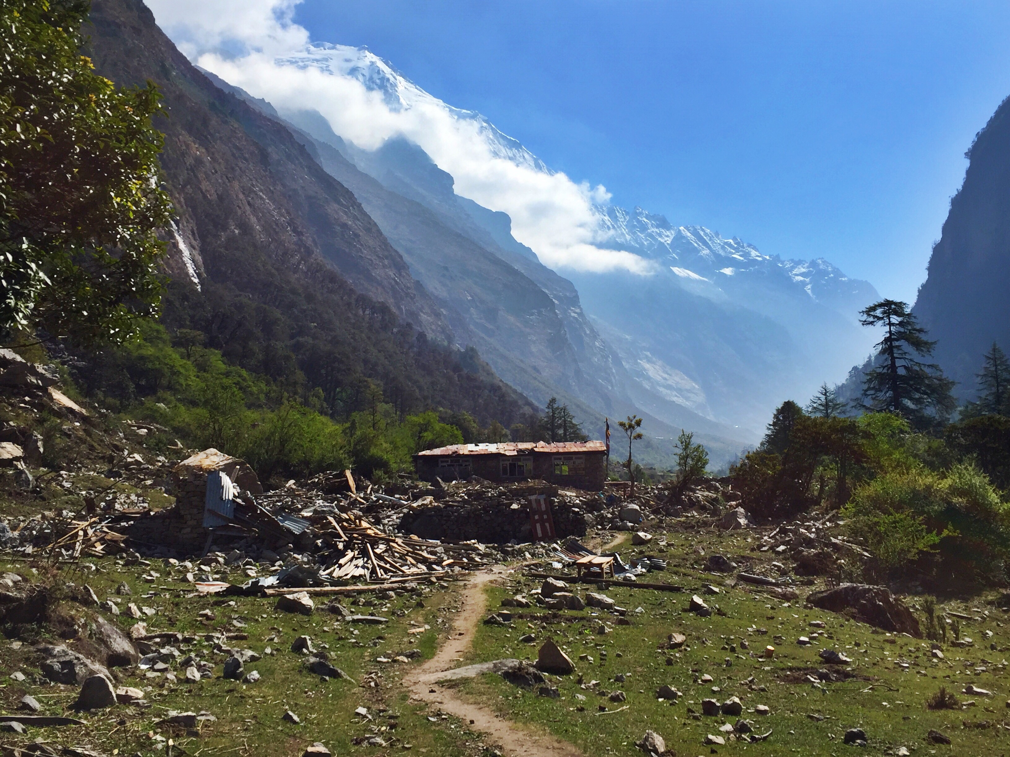
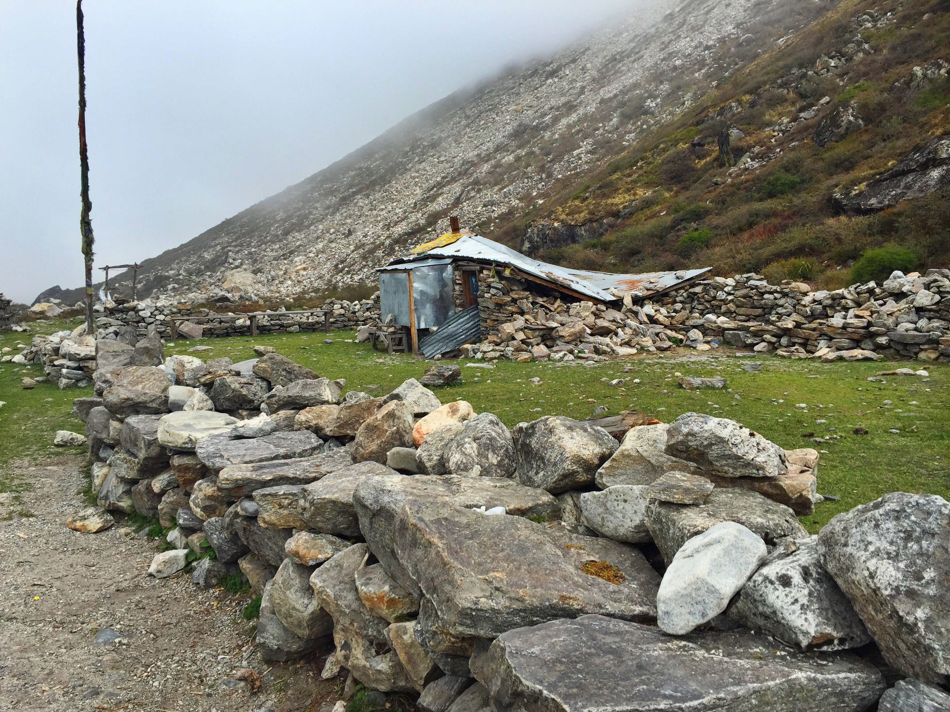
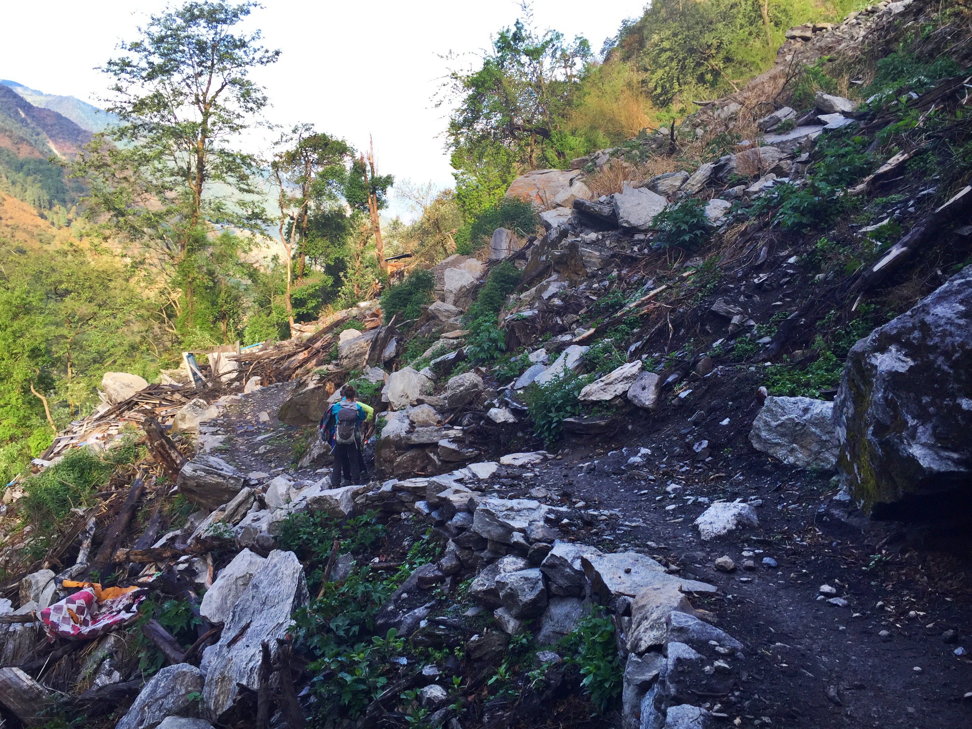
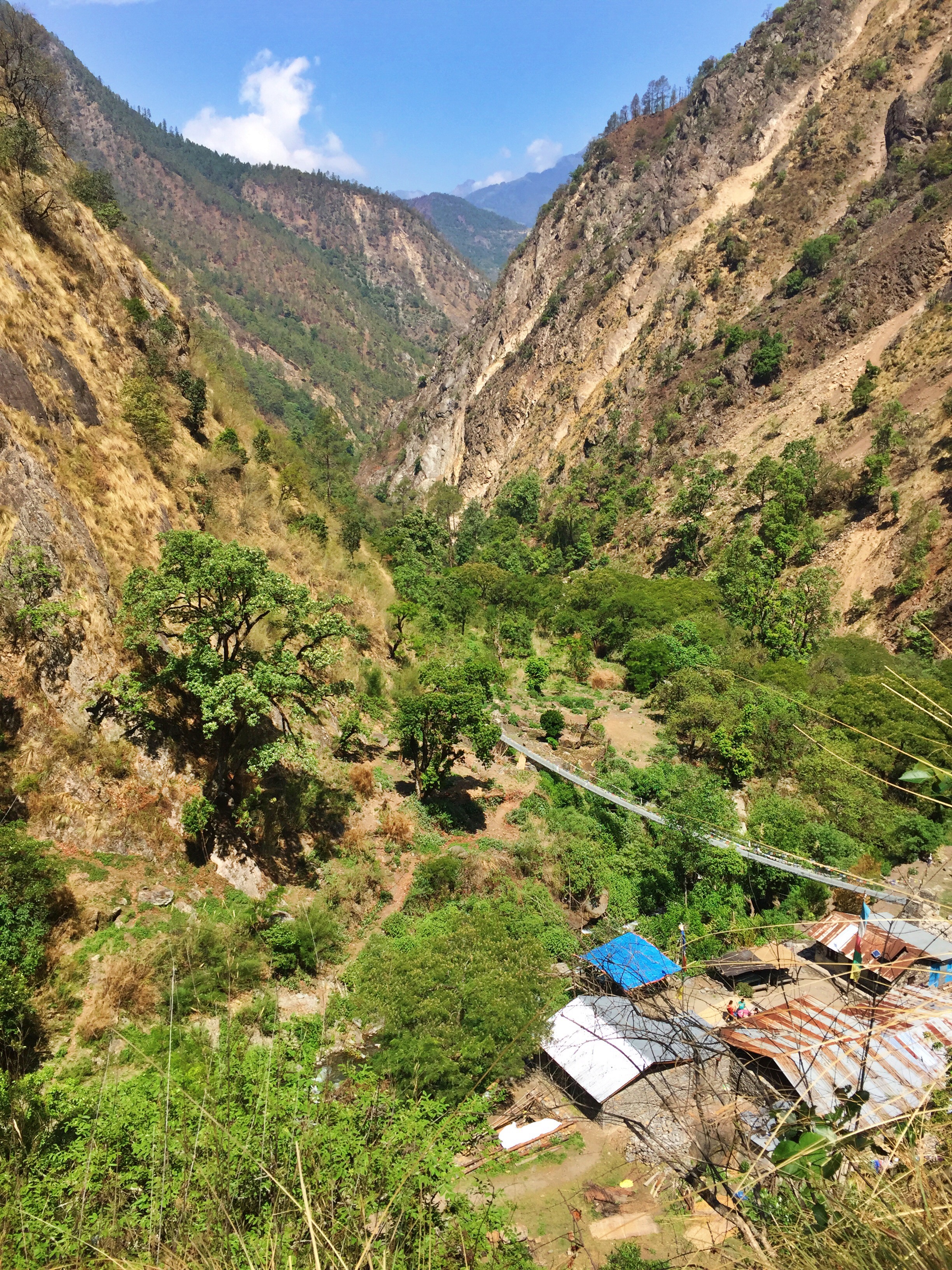
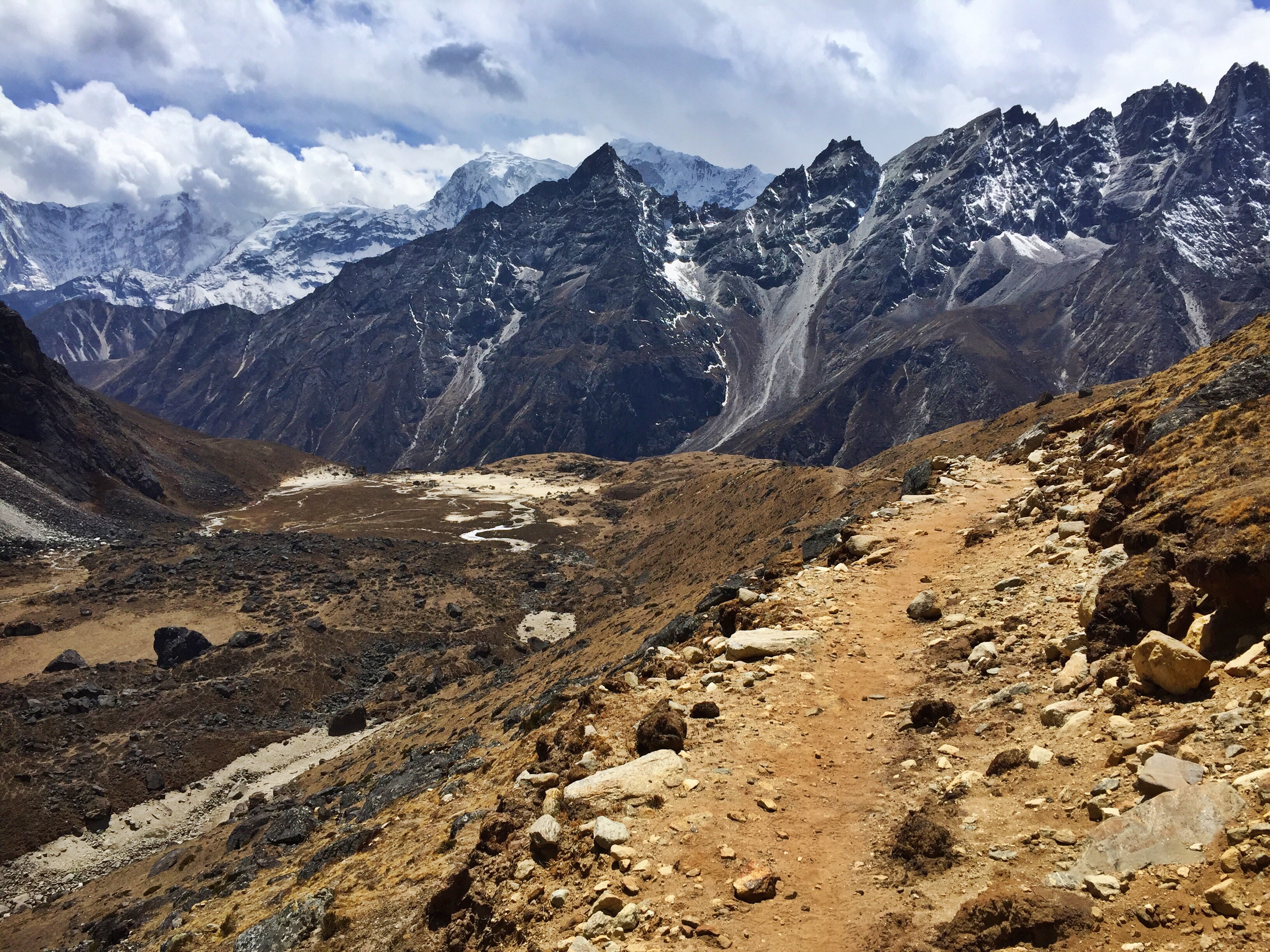
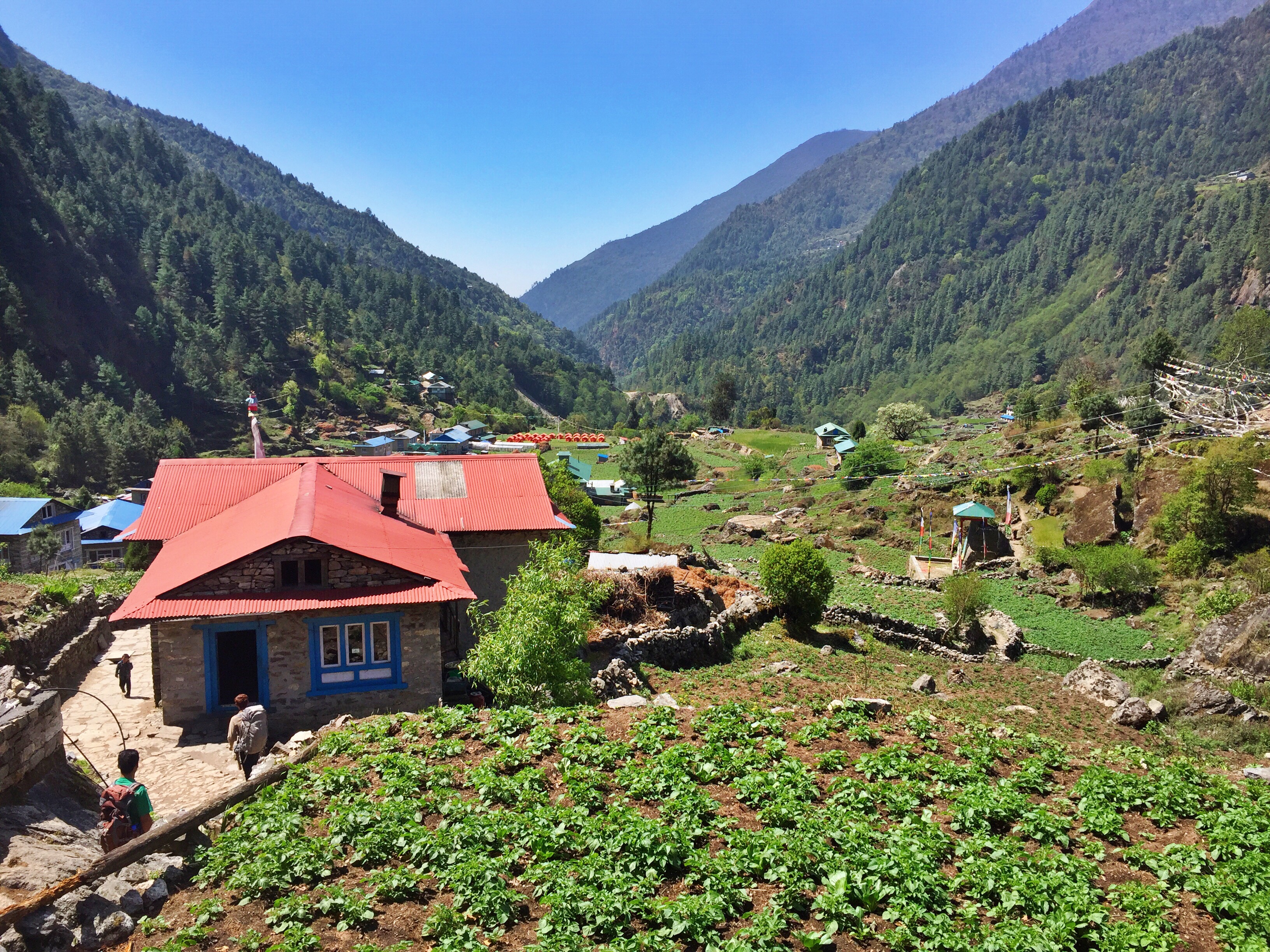
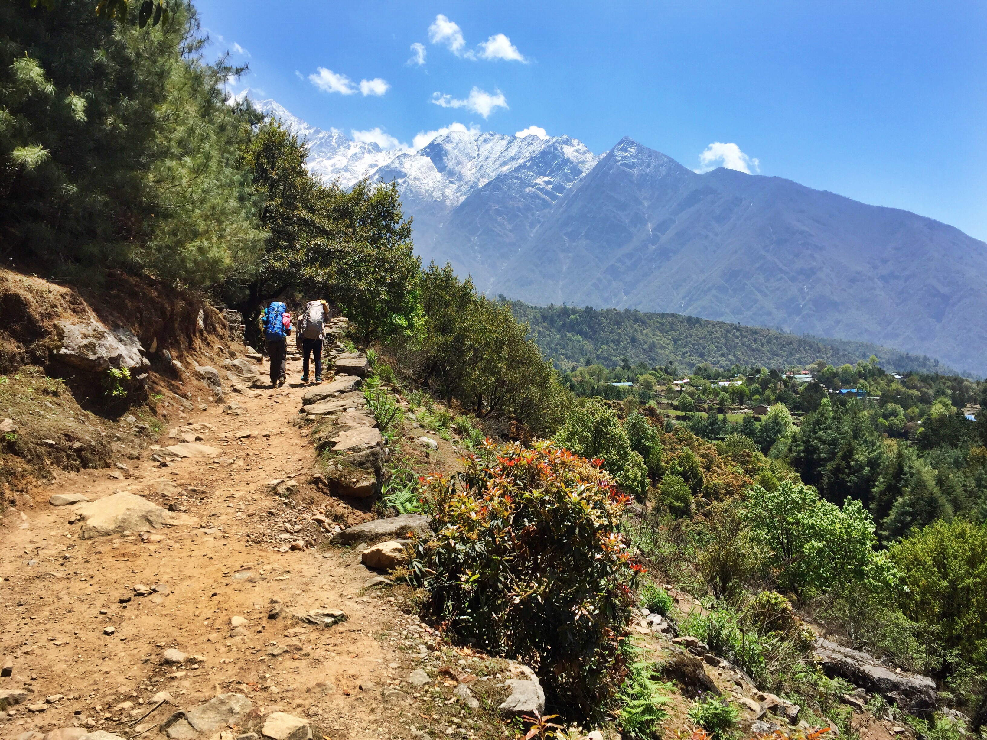
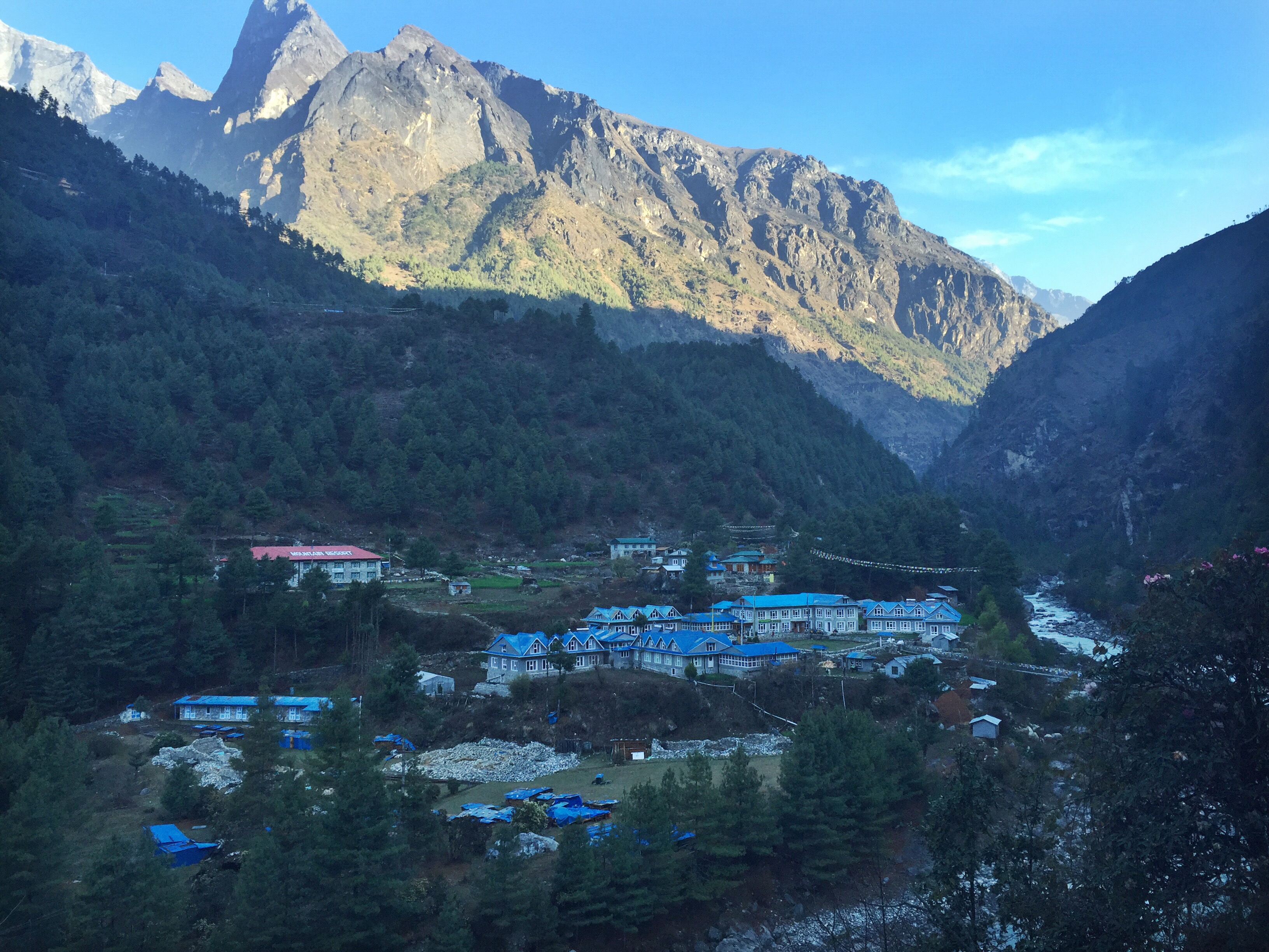
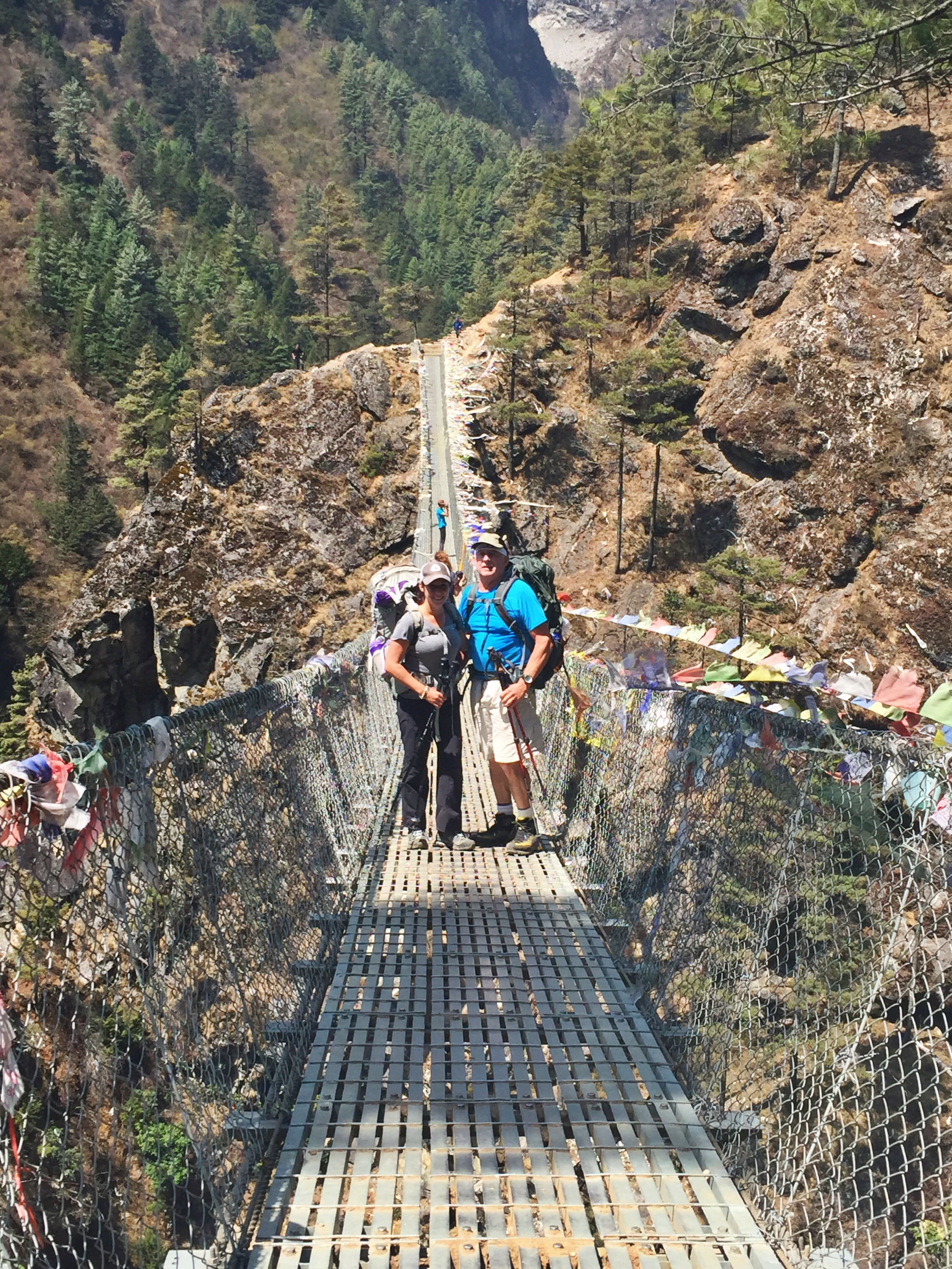
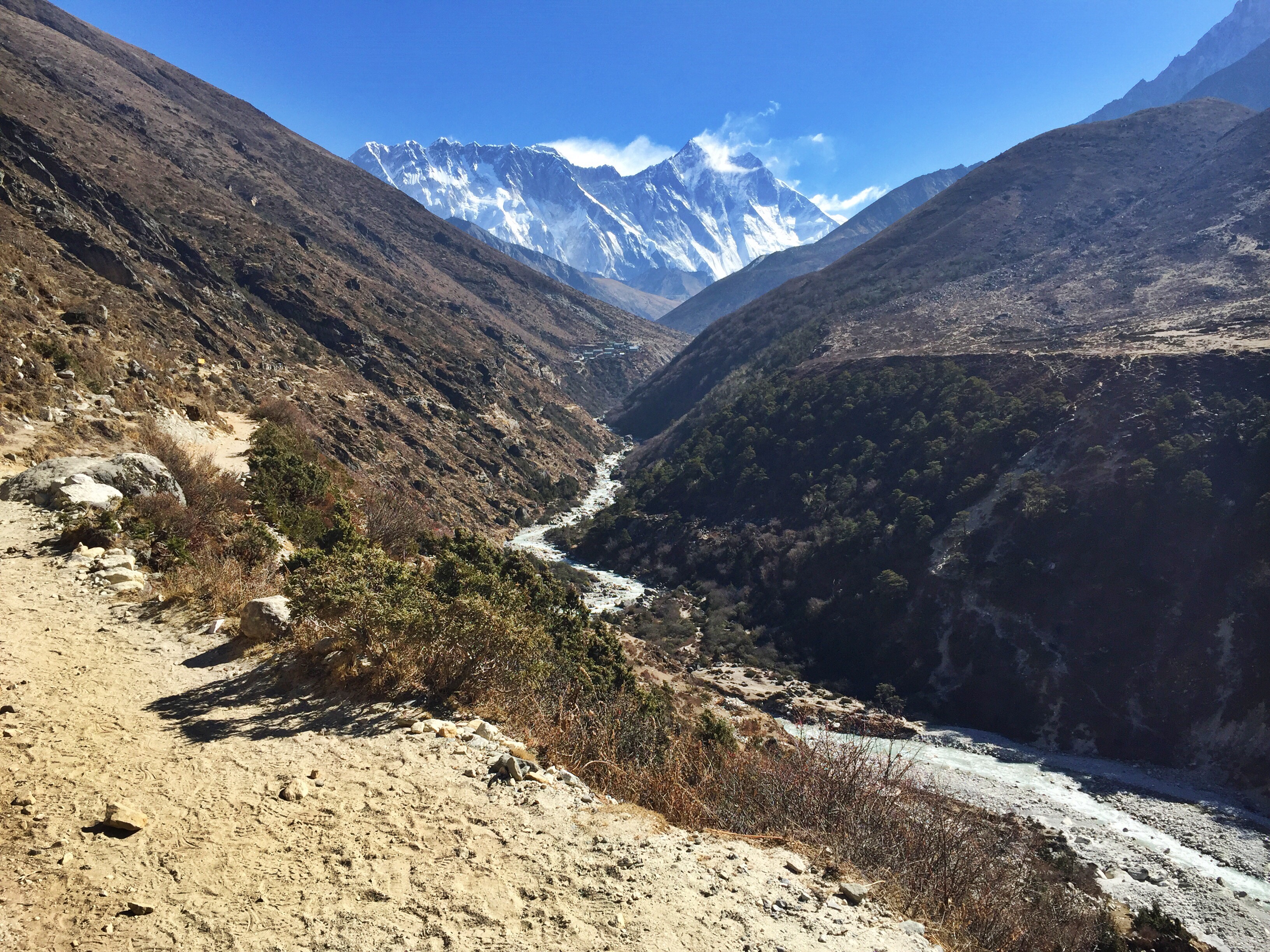
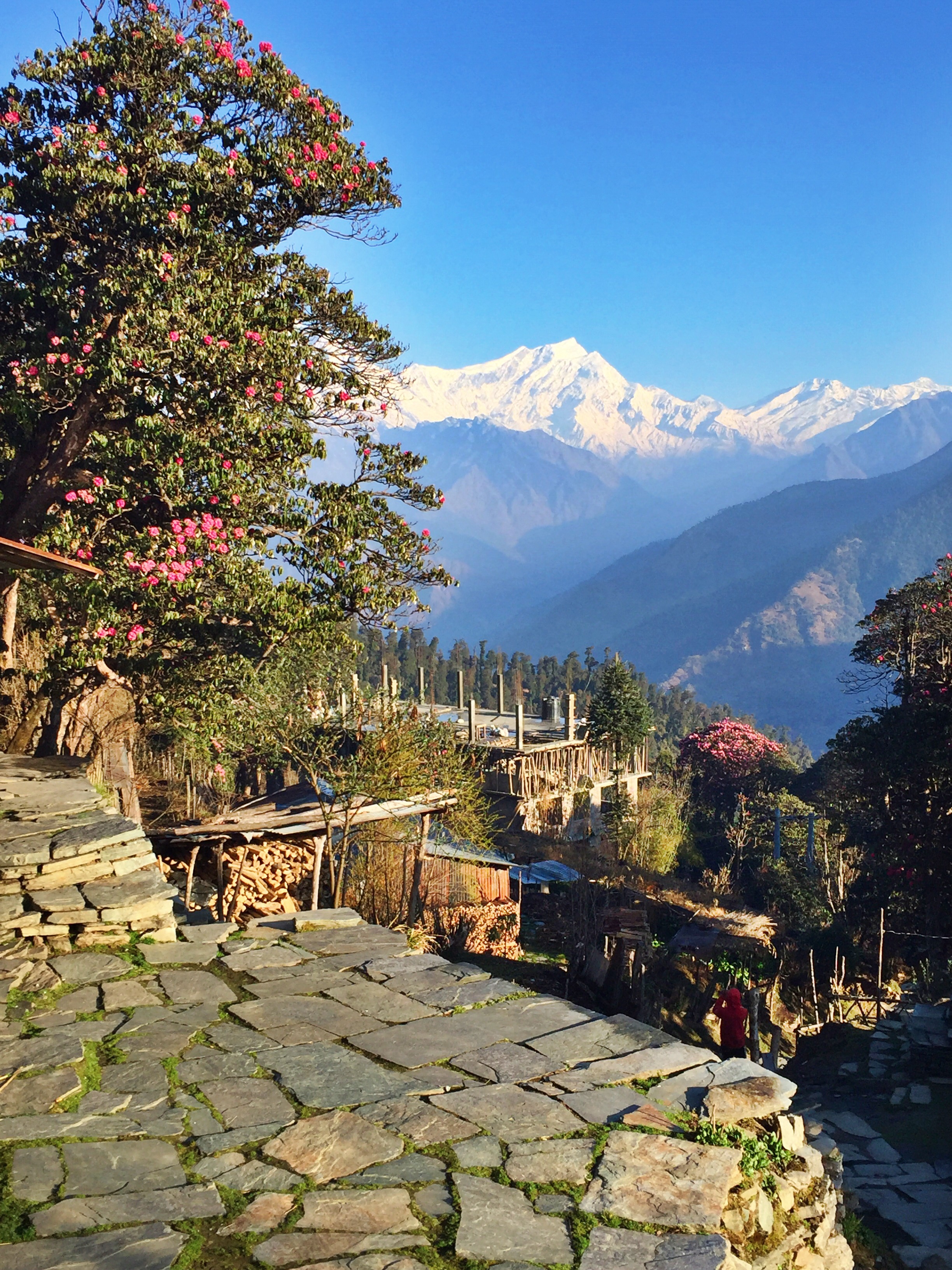
We’re officially done with the easy part. What we thought was “hard walking” was nothing compared to what we were up against. Dad and I were finally entering the high-altitude portion of our trek, which led us through alpine lakes, mountains, and villages seemingly untouched by modernization.
Each evening got colder. Each morning got more difficult to crawl out of bed. The lodges, rooms, and bathrooms got gradually more primitive the higher we got (“rustic” would give some of these facilities too much credit). We wouldn’t retreat below the highest point in the U.S. (Mt. Whitney at 14,505) for over a week. We would challenge ourselves, and we would come out sore, sunburnt and happy.

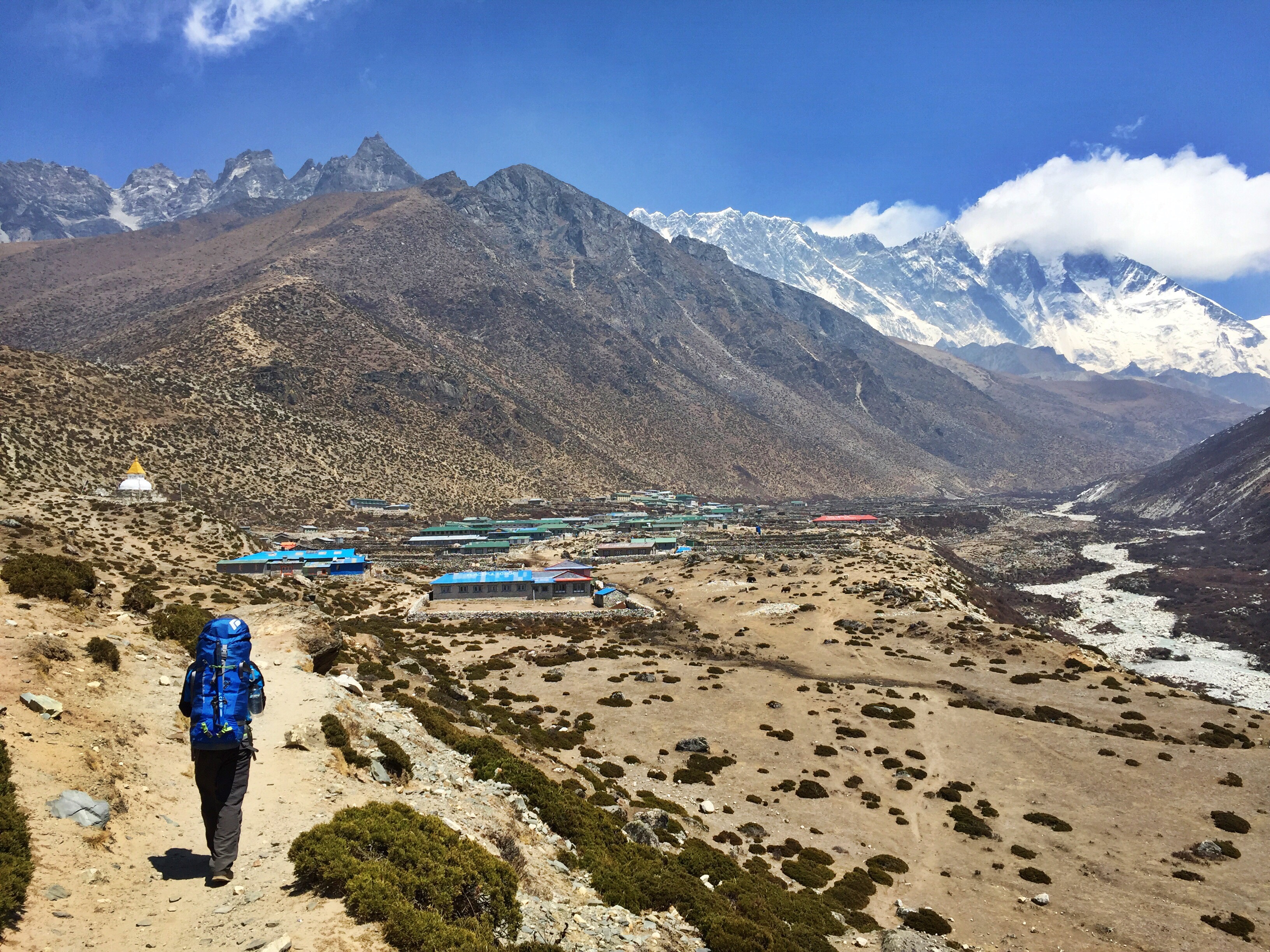
Day 7: Dingboche (14,245 ft.) to Chukhung (15,514 ft.)
Today is a painstakingly short day; it takes us just two hours to reach our destination in the dusty, windy town of Chukhung. However, this is our only option. In order to safely and properly acclimatize, we don’t want to be sleeping any higher than we will be this evening.
However short the morning really was, it felt longer because of a mission we’d made up the previous few days: Find out if it’d be possible for me to join a climb of Island Peak. Arriving into town before 10am, Ang races to find his connection to talk about permits, groups, and gear rental. Unbelievably lucky, we sort everything out before noon. By that evening I have my permit, guide name, and schedule ready to go for the next morning.
Dad and I spent most of the afternoon talking about my Island Peak climb, reading, trying on rental gear, playing cards, overhearing and talking to other Island Peak climbers, and generally trying to balance the anxiety and excitement of my first attempt on a 20,000er mountain. We drink a lot of tea. We eat filling meals. We sleep (myself, restlessly), eager to begin the day we’d been discussing nonstop.

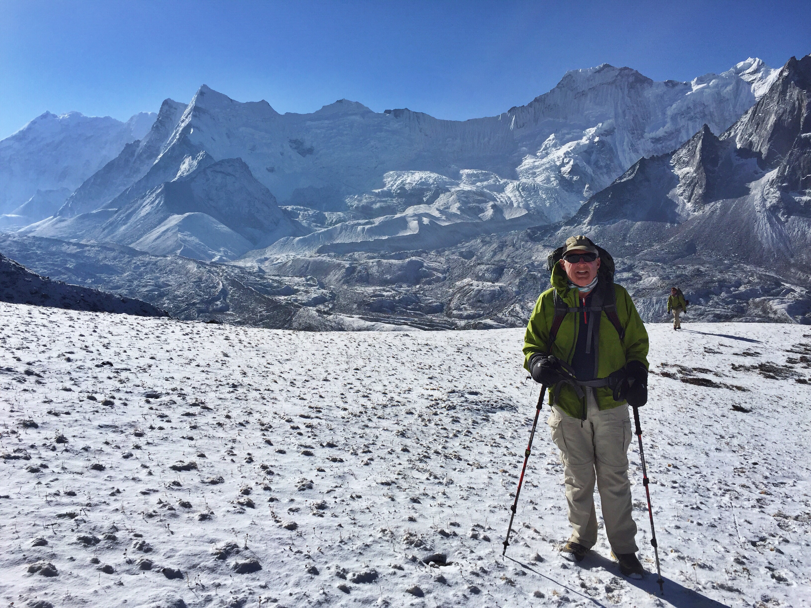
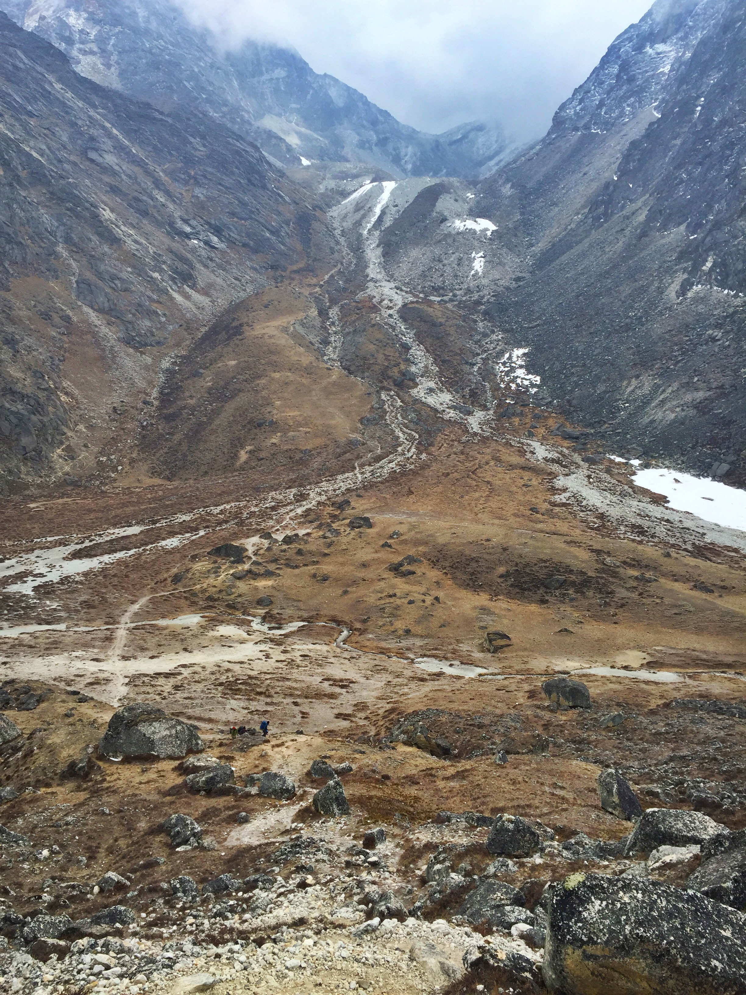
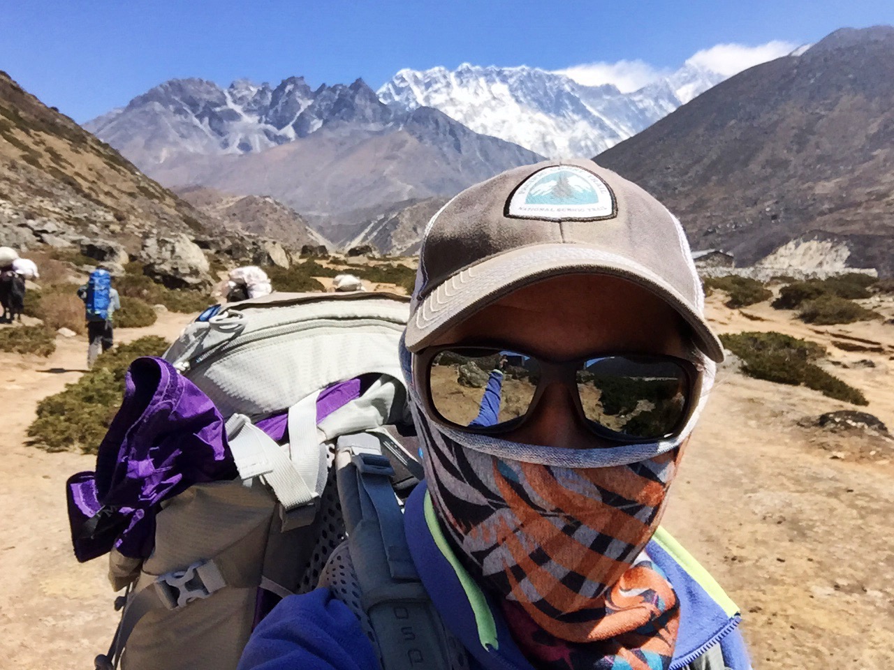
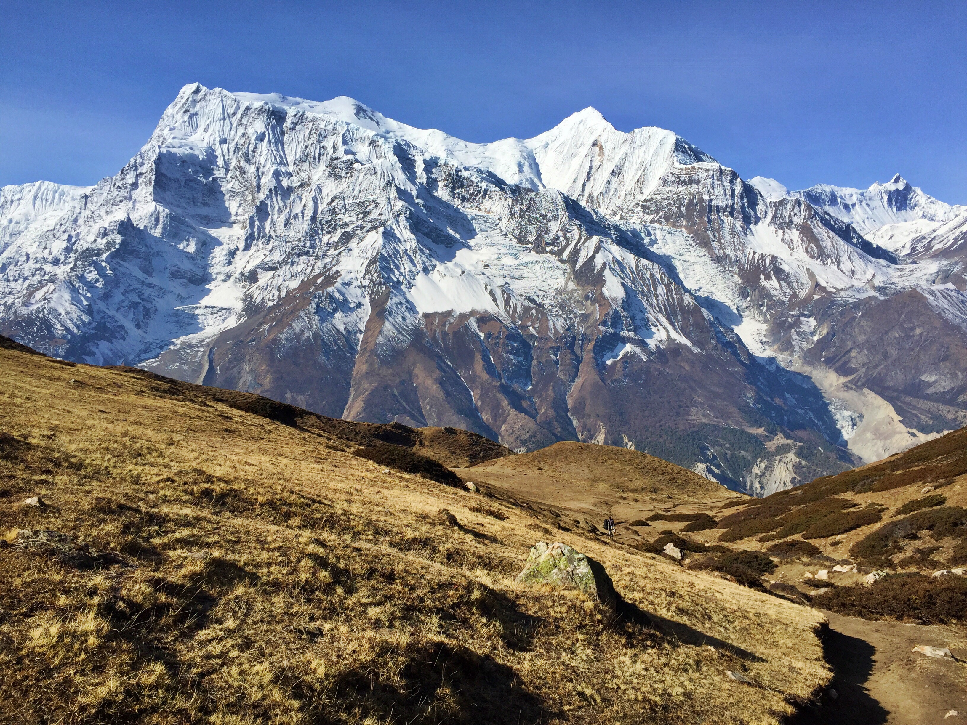
The arduous hike to Base Camp, with Island Peak visible to the far left
Day 8: Hike to Island Peak Base Camp (16,690 ft.)
The four of us hike to Base Camp, where I’m united with a team summiting Everest to share food, thoughts, and tents before we all attempt a summit of Imja Tse, more commonly known as Island Peak. I split up from Dad and our guides as they return to Chukhung for the next two evenings.
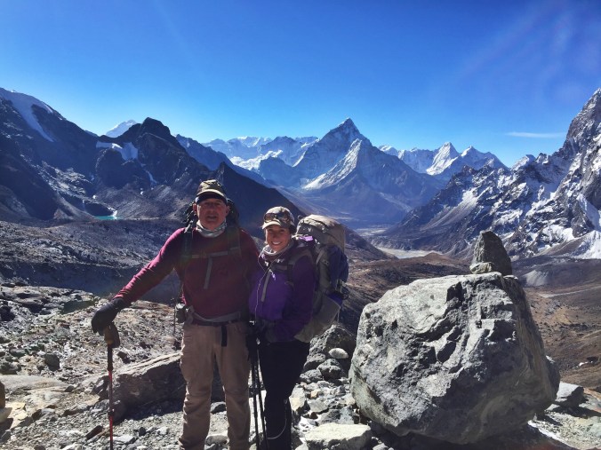
Dad had encouraged me to find a way up this mountain the entire time, saying that this accomplishment would make Mt. Rainier look like “small potatoes.” Just three months prior we’d both been the highest we’d ever been, at 19,340 ft. on Mt. Kilimanjaro. In addition to topping out that altitude a full thousand feet, Island Peak would bring on greater challenges like relying on a fixed rope, ascending up a vertical ice wall, and donning crampons during multiple ladder crossings similar to those found in Mt. Everest’s Khumbu Ice Fall.
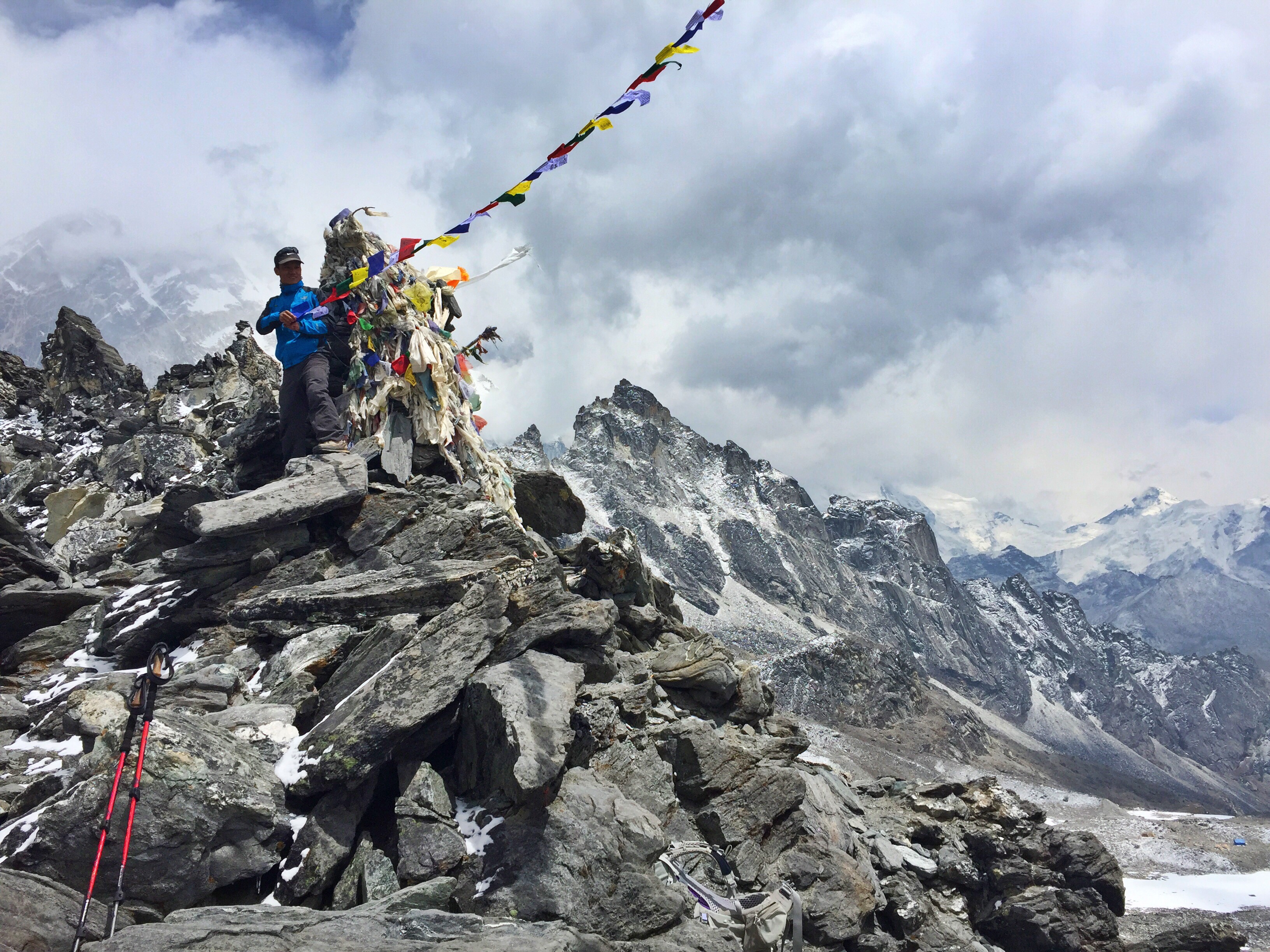
I was excited, I was terrified, and in the end, I was thrillingly successful and stood nearly as high as the tallest point in North America!

Standing on the summit of Imja Tse, Island Peak
Day 9: Island Peak Climb (20,305 ft.)
Read my entire blog post on our successful summit of Imja Tse, Island Peak!

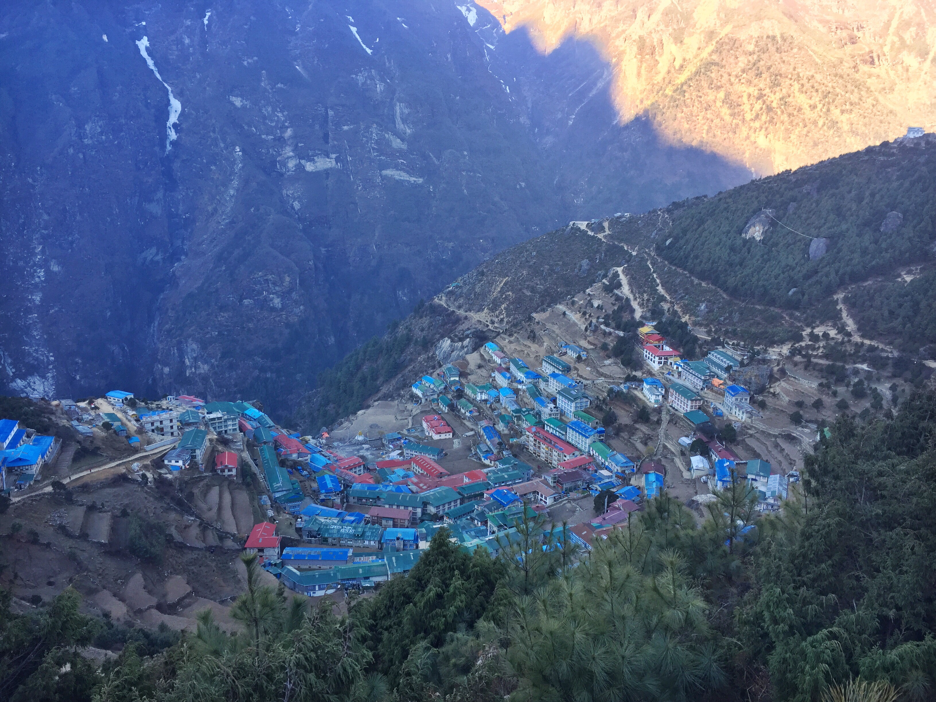
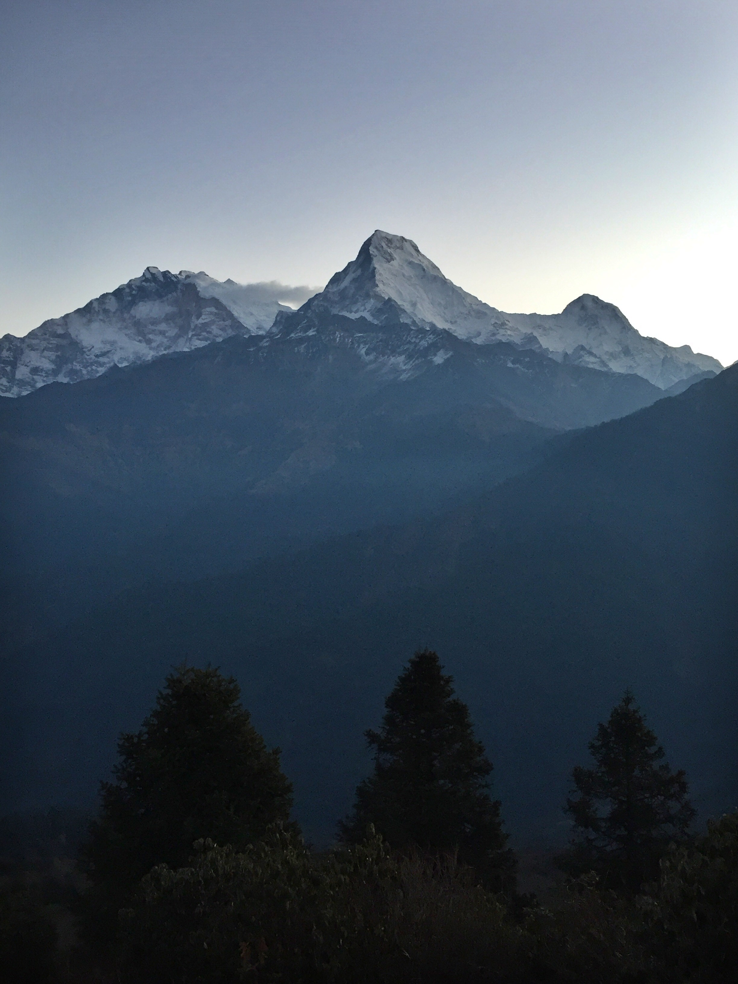
Sunrise over Chukhung
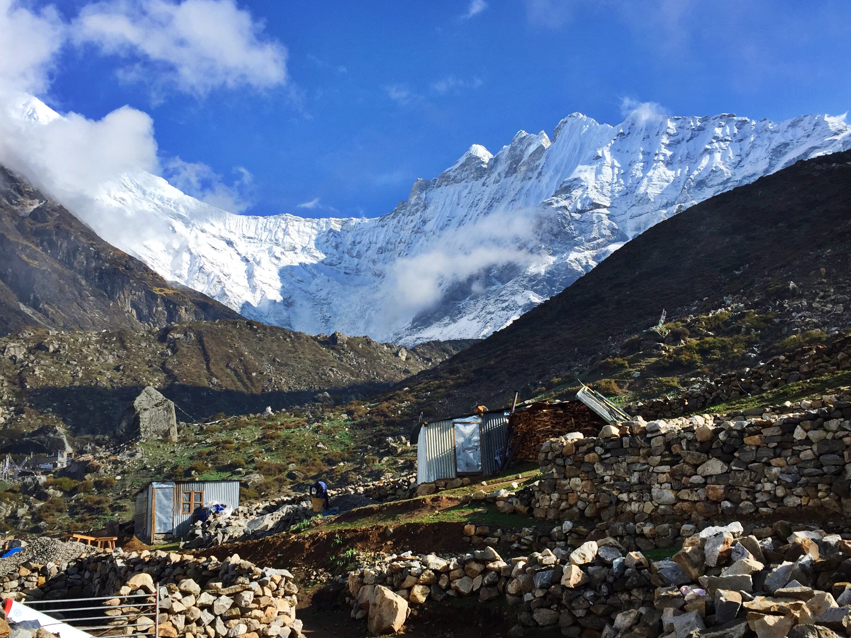
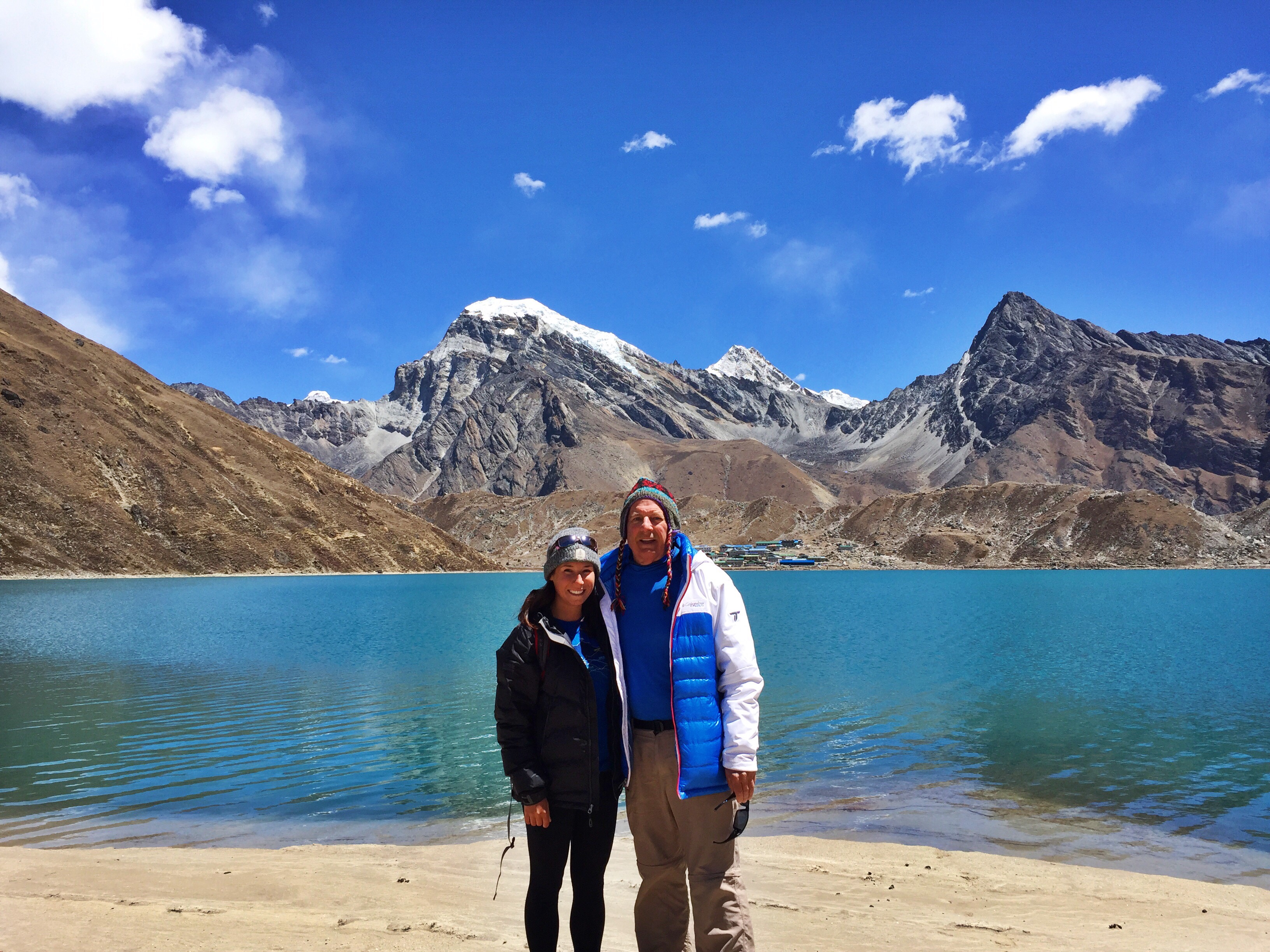
Day 10: Chukhung (15,514 ft.), crossing Kongma-La Pass (18,154 ft.) to Lobuche (16,170 ft.)
We wake up at dawn to prepare for our first pass crossing, considerably the hardest of the three we’ll encounter. I have an insatiable hunger from barely eating the day before during the climb, and clean my breakfast plate while helping myself to Dad’s leftovers.


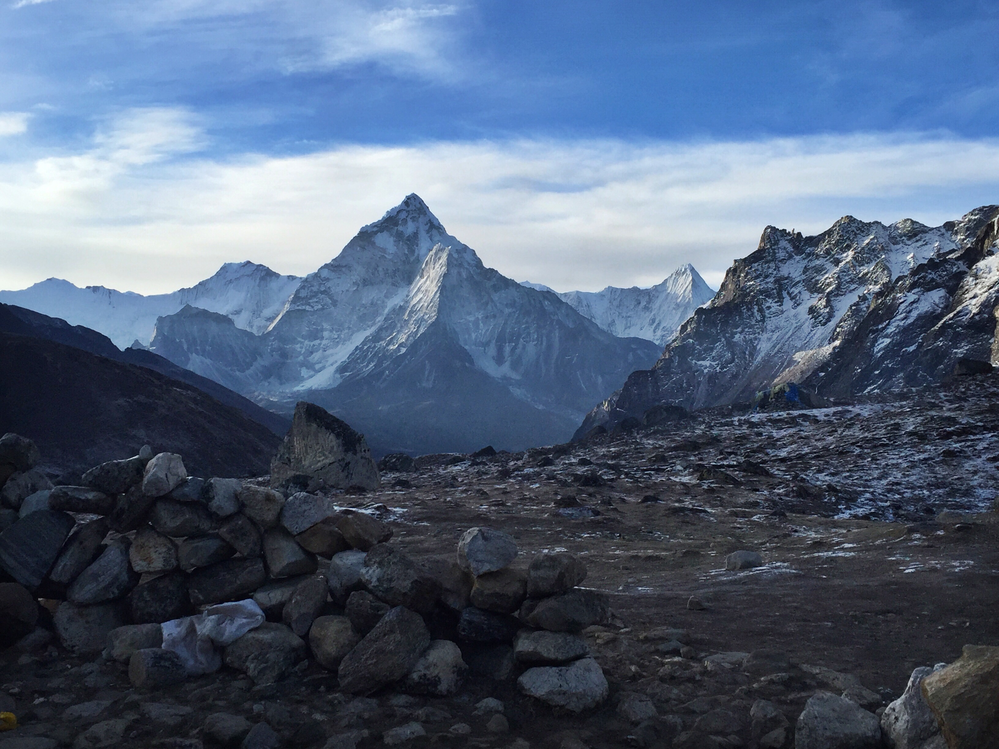
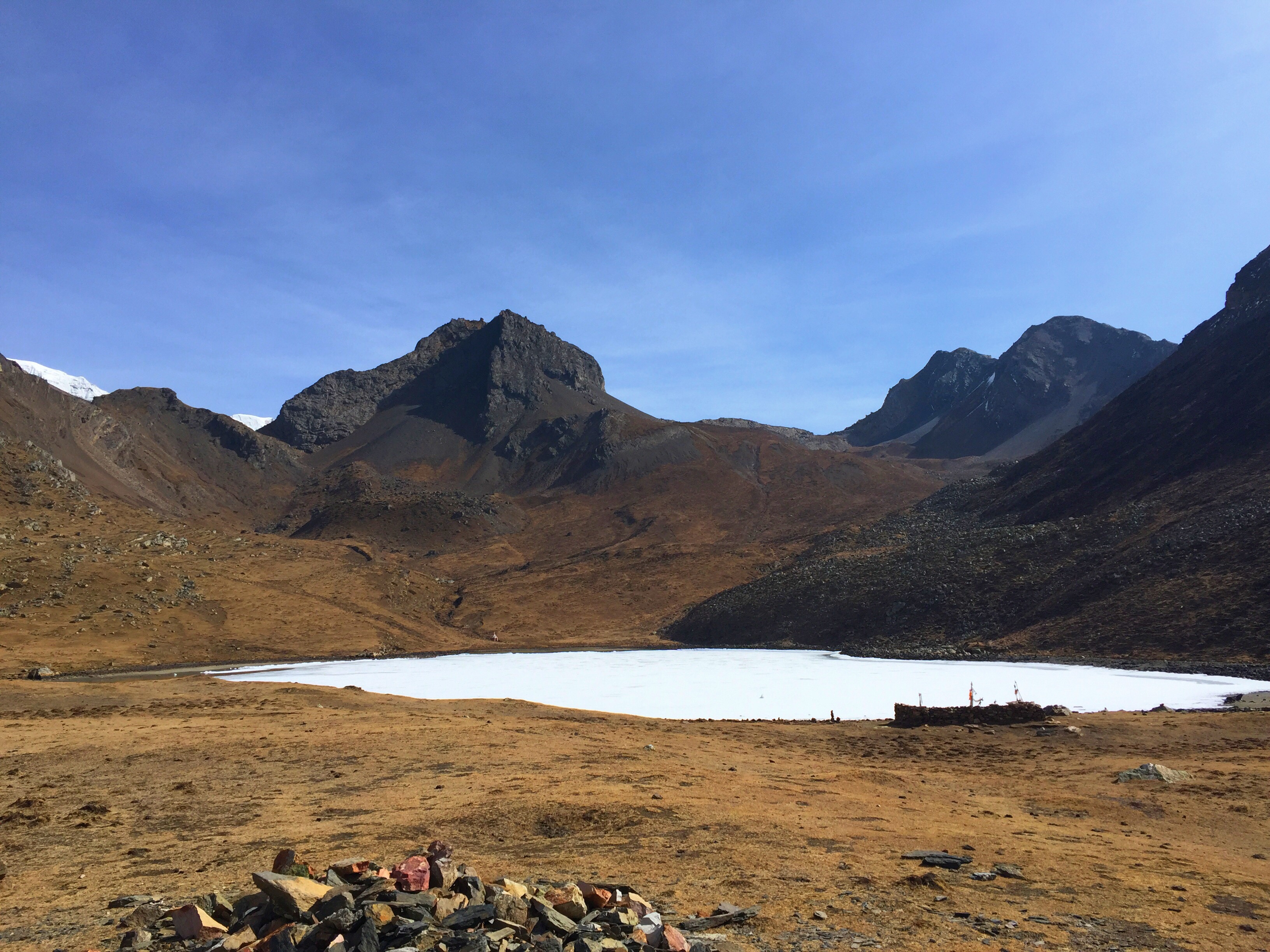
View from the top of Kongma-La Pass
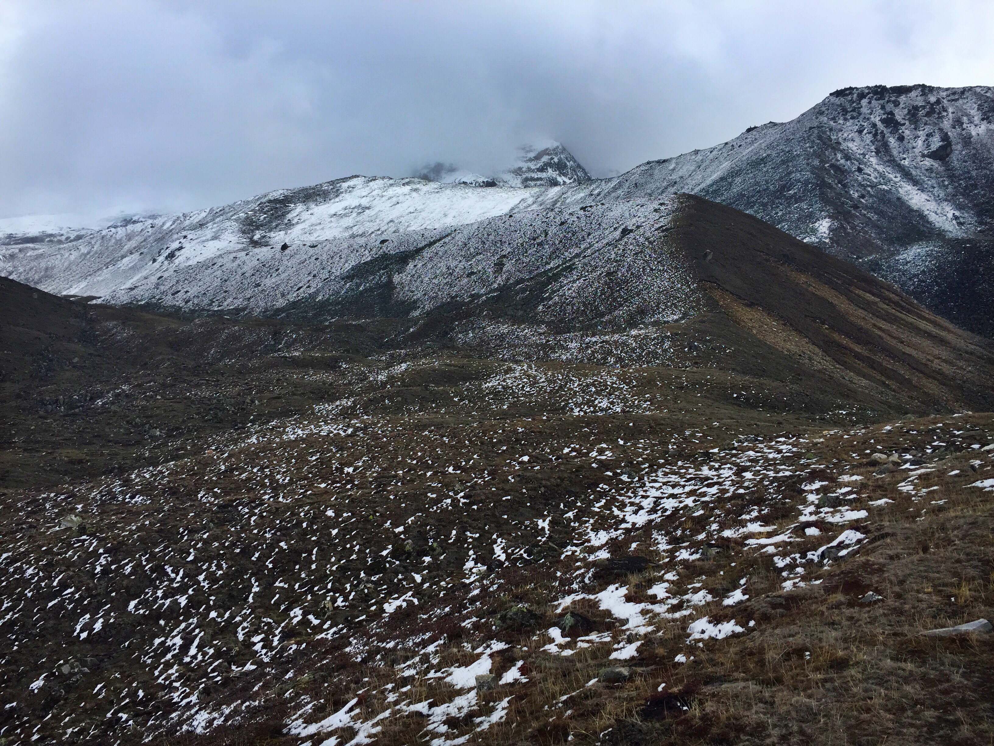
This is the first time we’re walking on snow, from a tame blizzard the night before. The ground is only blanketed in about an inch of powder, but it does raise questions for us about the trail conditions on our first excursion above 18,000 ft. The going is good however, and we slowly inch our way up the zigzagging trail through stupendous views to what feels like the roof of the world.

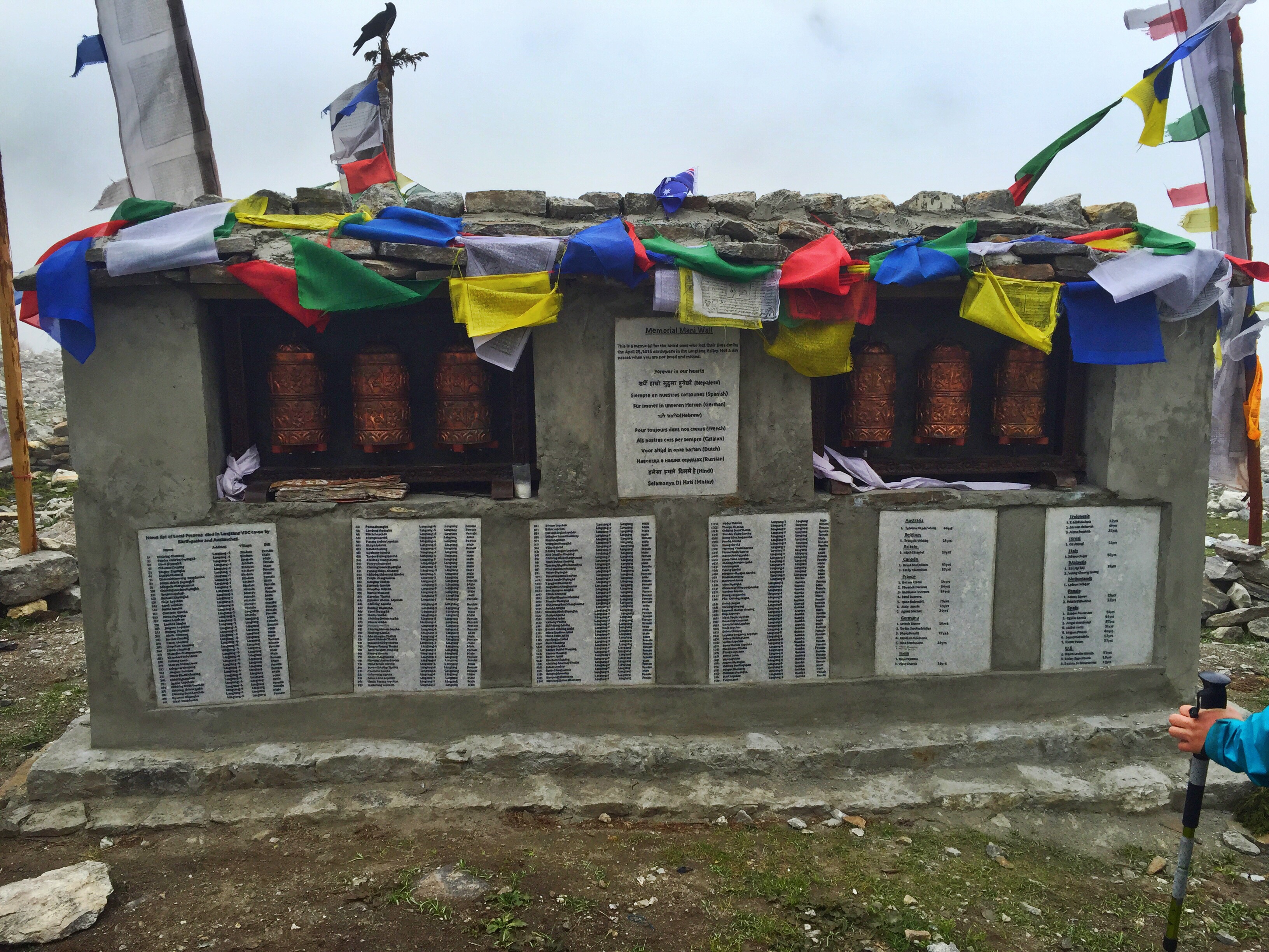
Pasang stringing prayer flags across the pass
Pasang and Ang pull out packaged prayer flags that they unravel, inscribe their names on, and hang above the pass – fresh, bright, new colors that rejuvenate the older fading flags already placed there.

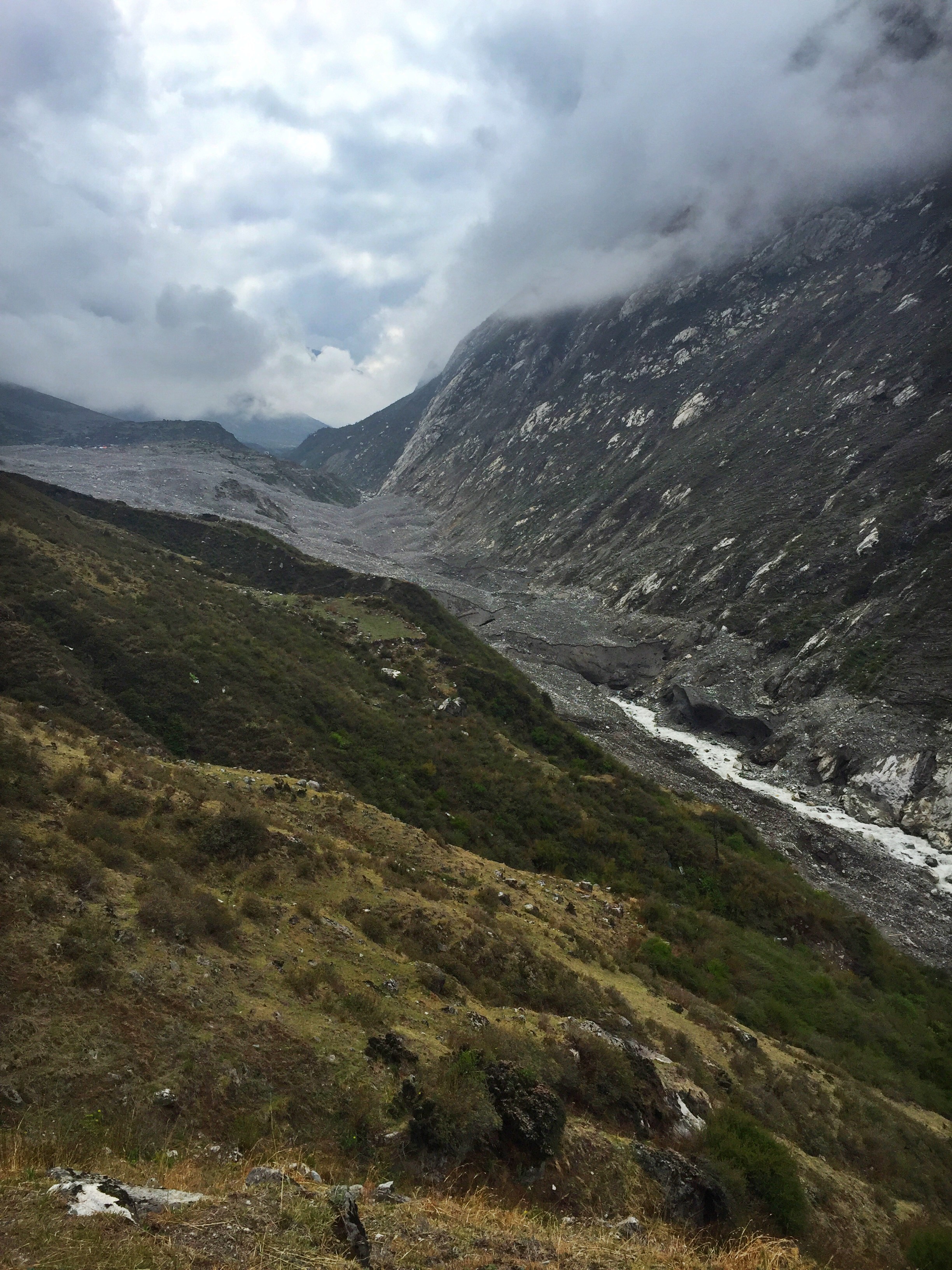
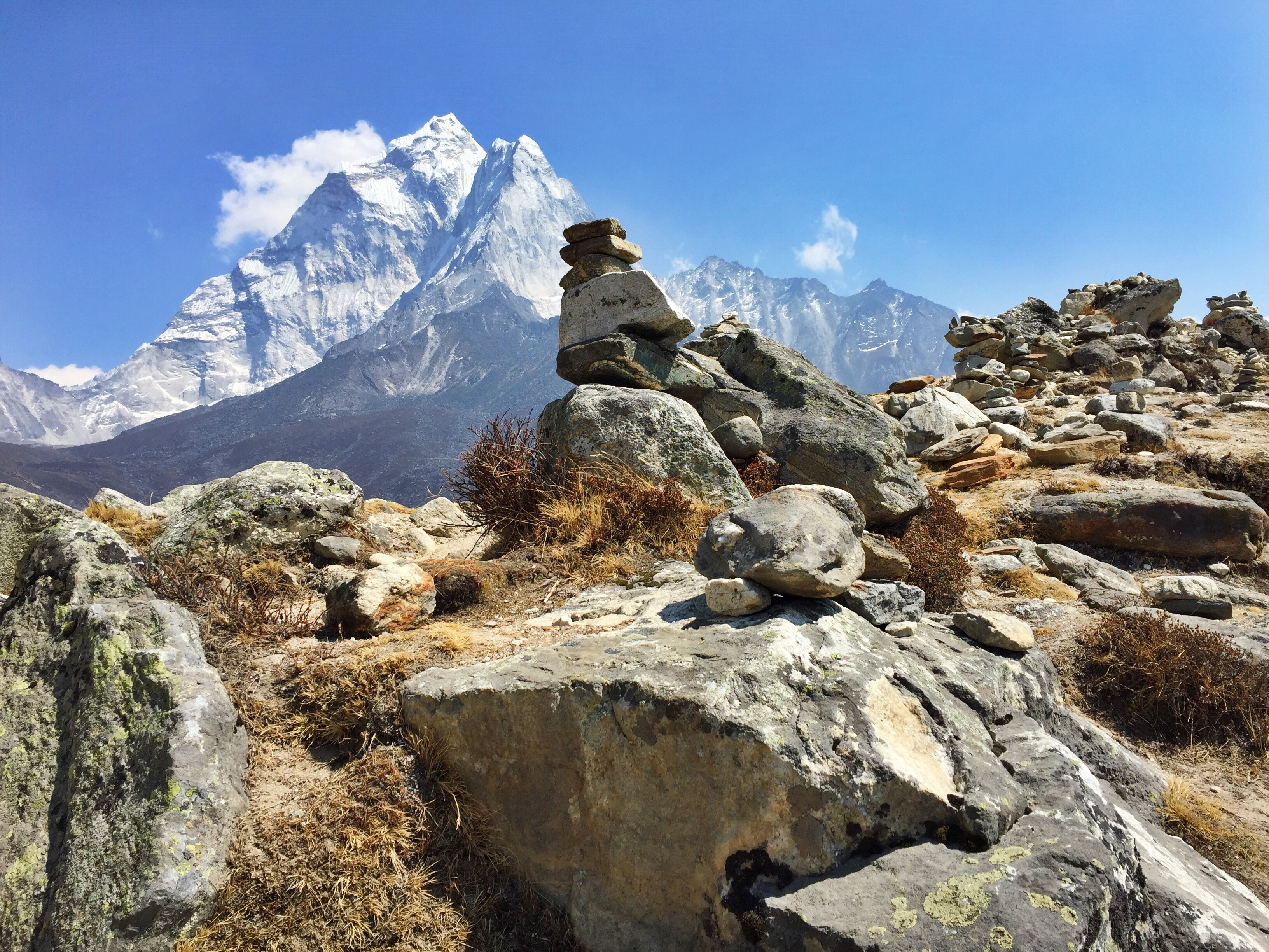
The other side of Kongma-La, looking over the glacier

Looking back at the 18k foot Kongma-La Pass
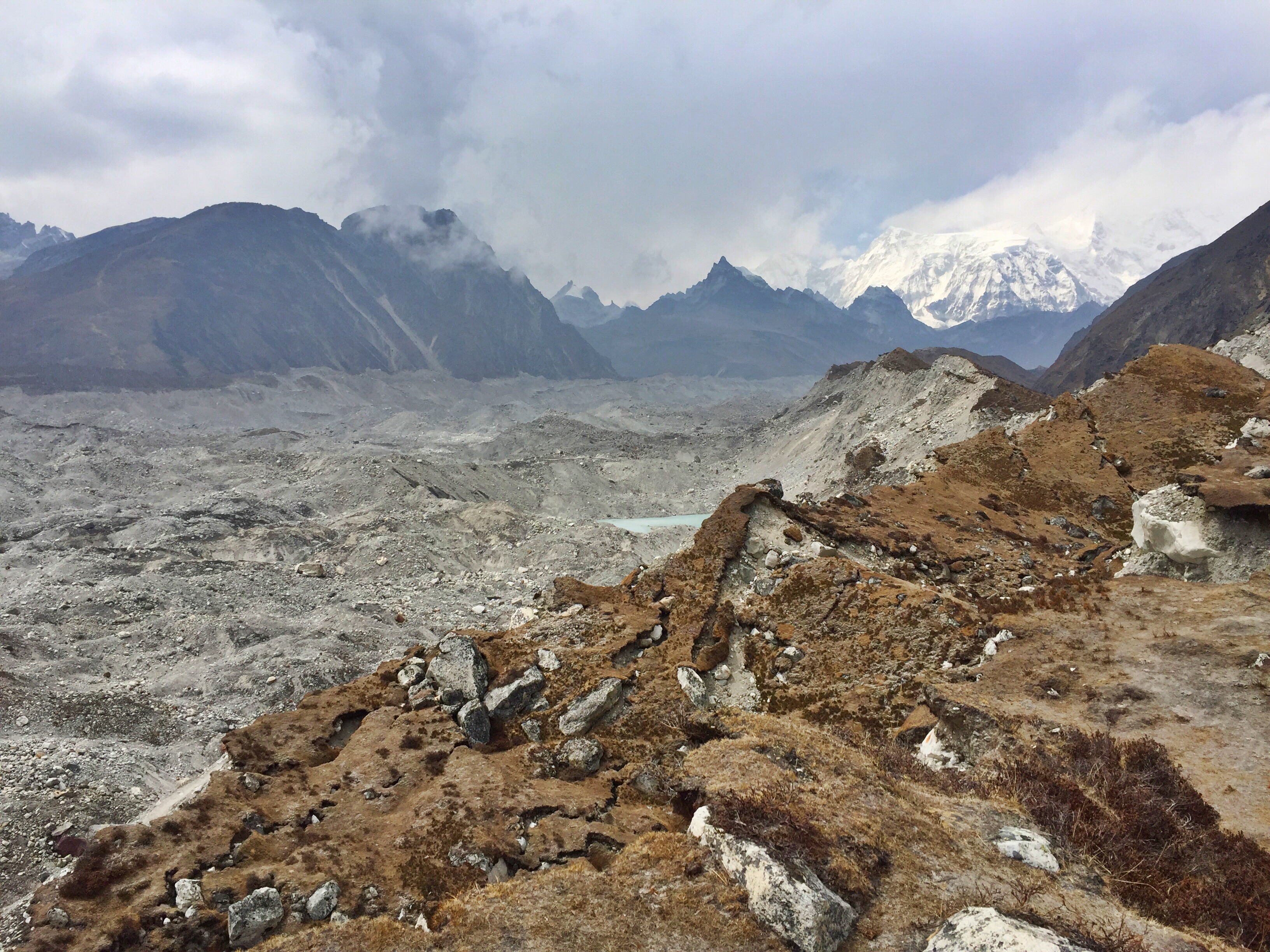
The descent was difficult. We cross over the Khumbu Glacier, the same one that snakes all the way up to Everest Base Camp, but in the last two years since Pasang had guided a group over this terrain, the frozen river had shifted and virtually eliminated the trail. Dad would say this part was just as, if not more, difficult than the ascent up the pass. We spent hours boulder-hopping and navigating our way through the endless moraine, working through a windy snowfall until we reached our warm lodge in Lobuche where we thawed out on popcorn, Oreos, and hot chocolate.
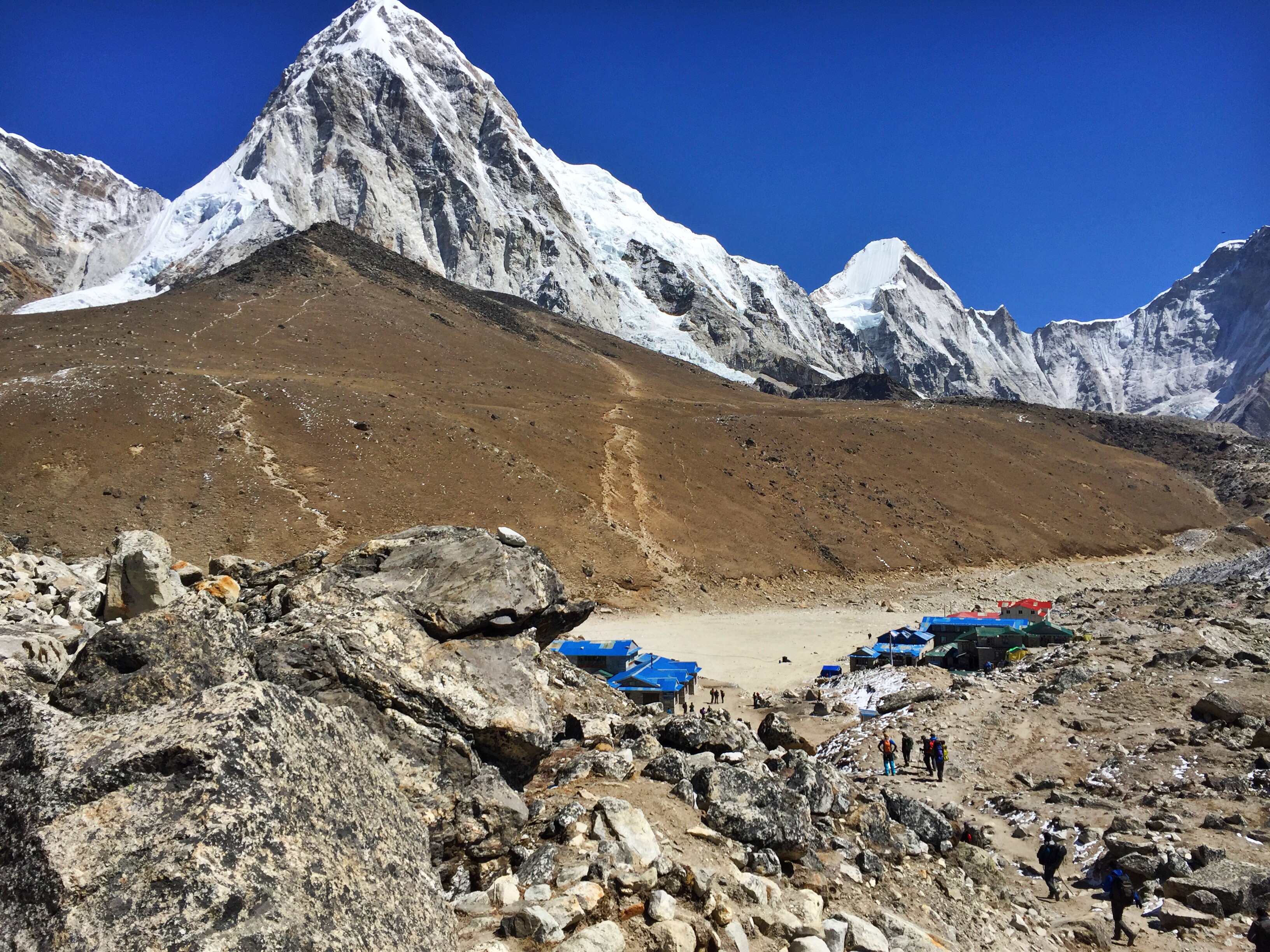
Day 11: Lobuche (16,170 ft.) to Gorak Shep (16,859 ft.) and Kala Patthar climb (18,514 ft.)


Looking down-valley at the hundreds of trekkers on their way to Gorak Shep
We wake up feeling clean and rejuvenated from hot showers the evening before, and set out among at least one hundred hikers headed north. It’s a slow, steady 2.5 hour walk up a long valley from town to town, which we enjoy leisurely, knowing that we will be reaching the highest elevation of our entire trip later that morning.

Like most, we stop at our lodge in Gorak Shep to drop our packs and enjoy lunch before taking off for the day’s excursions. The tiny village of Gorak Shep caters almost exclusively to trekkers; it’s too close to Base Camp to warrant the extra stop for climbers, and with such scarce facilities, little more enjoyable than living out of a tented camp. In fact, Gorak Shep is often described as a dismal town, one where “few people sleep well” because of its steep elevation.
This is the highest altitude that we will sleep at of the entire trip, and Dad and I both request two sleeping quilts each, along with bottles of boiling water, which at the end of the night we’ll stuff into the ends of our sleeping bags to keep our feet warm (a trick I learned on Island Peak).

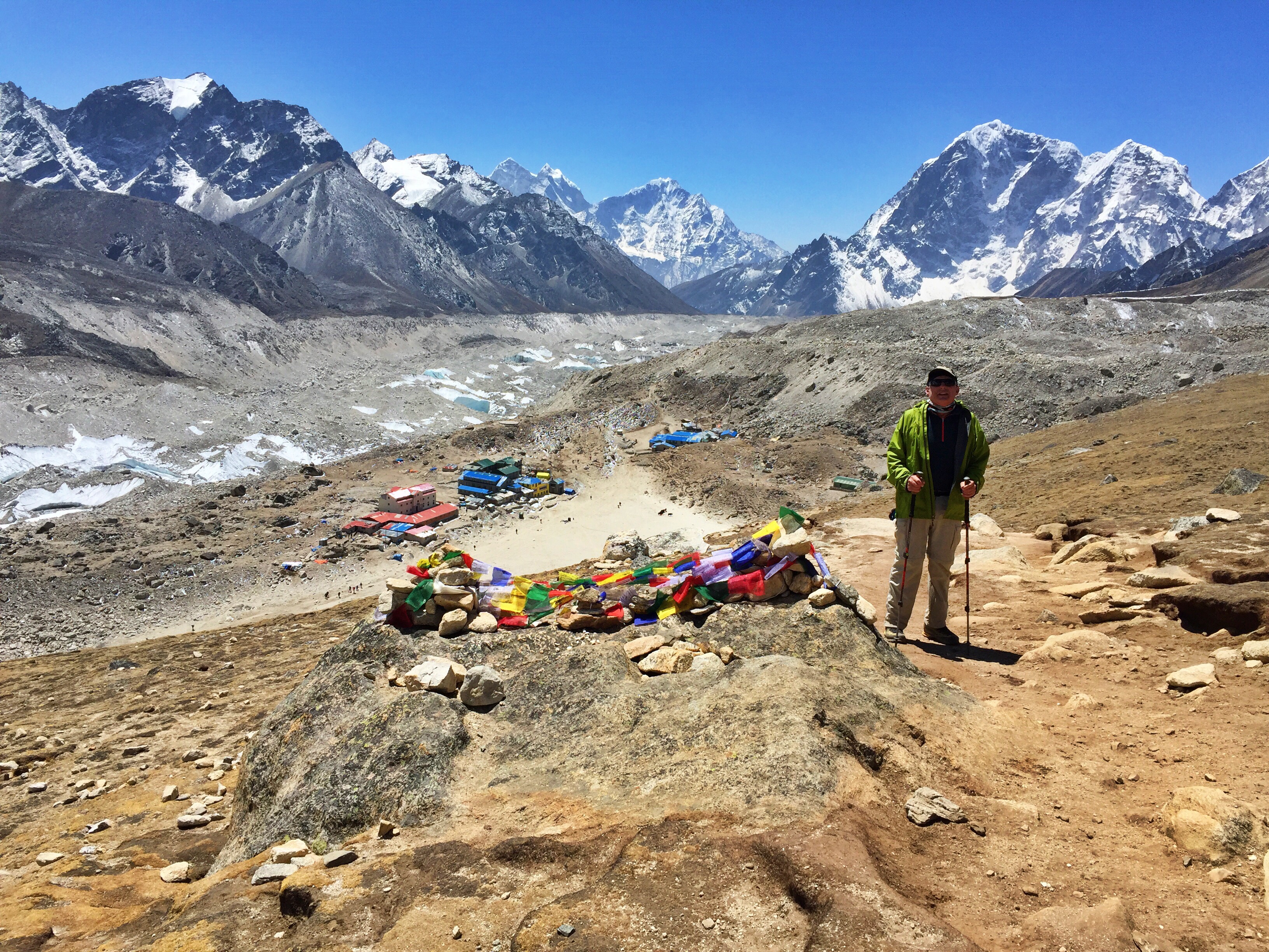
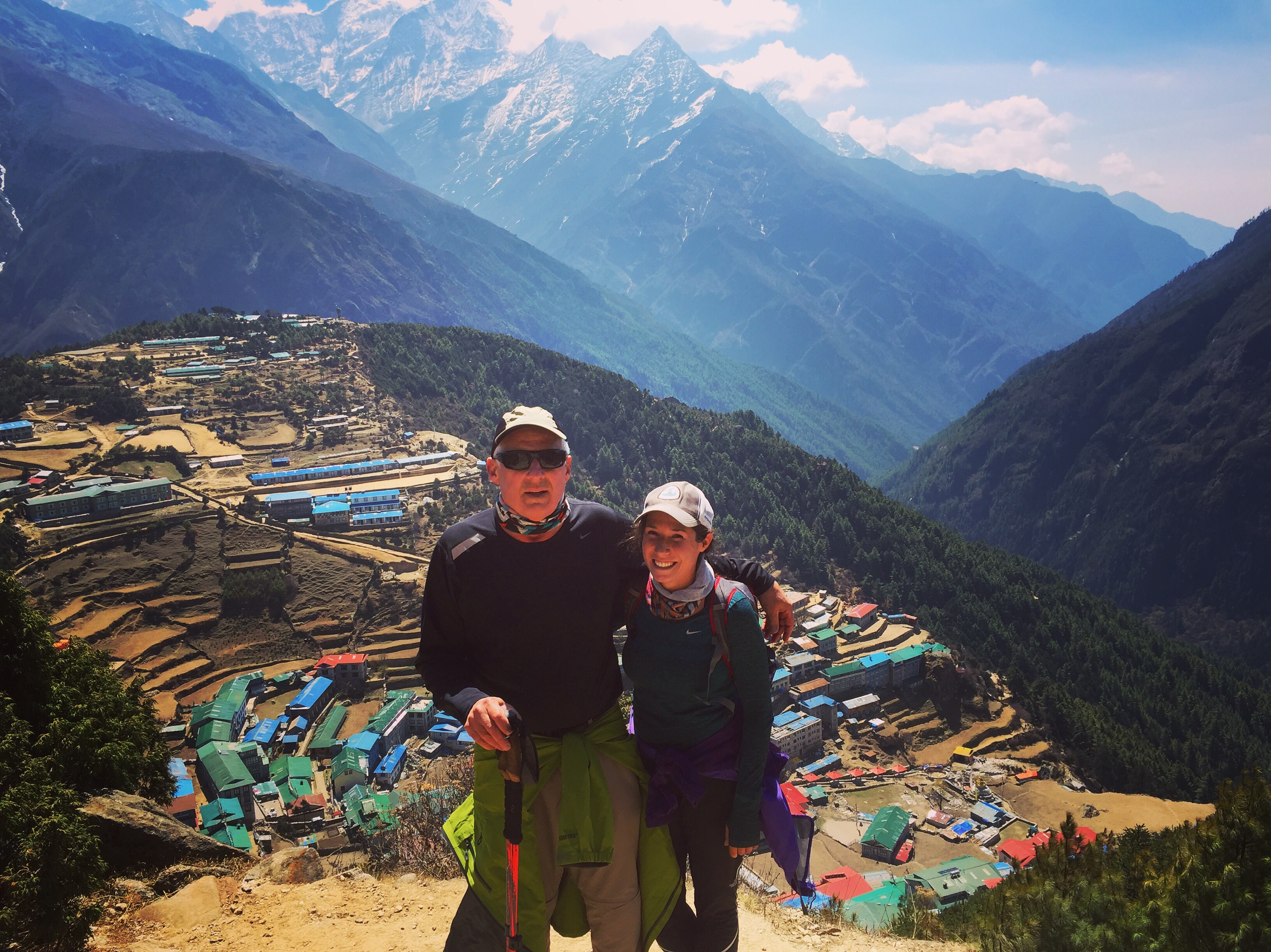
Halfway up Kala Patthar with stunning Khumbu views behind Dad

Everest in all its glory, scraping the sky like a shark fin, from the top of Kala Patthar
After our standardized late-morning “lunch” around 10am, we venture up the village’s looming neighbor of Kala Patthar. The weather is perfect, and we enjoy crystal clear views of Everest and its surrounding peaks from the top. Many people will climb Kala Patthar for a sunrise summit, but in the cold, and with uncertain weather, we agree it’s best to take our chances while they look good. Sure enough, the following day’s sky was covered in clouds and a steady wind that would have knocked us off our feet at that elevation.
Day 12: Gorak Shep (16,859 ft.) to Everest Base Camp (17,600 ft.), return to Lobuche (16,170 ft.)
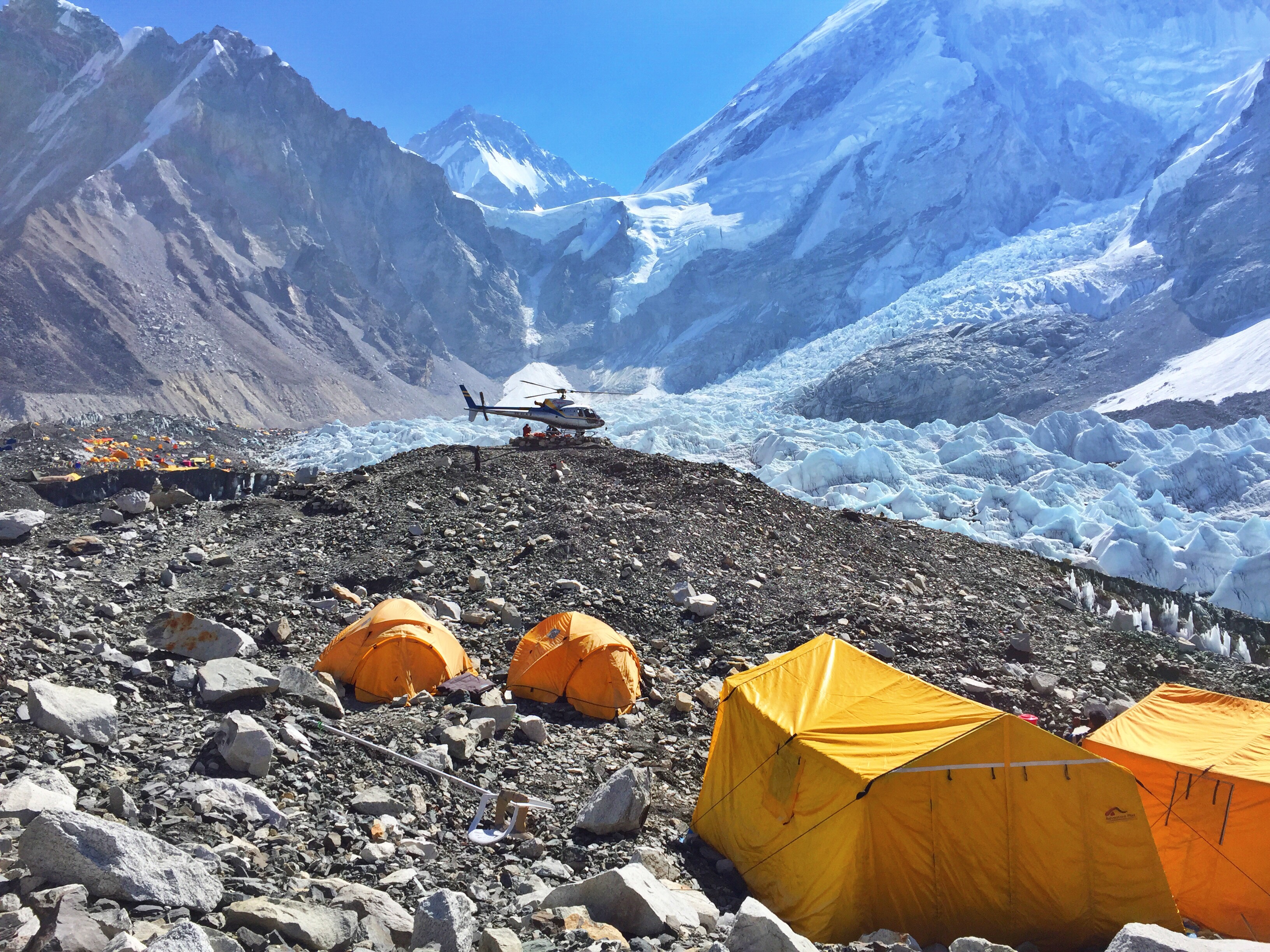
The day and its destination that many trekkers have come to Nepal for has arrived. We wake up with our starry-eyed neighbors who are all eager to see the jump-off point for daredevils attempting to climb Earth’s highest peak. After big breakfasts, we set off for the two hours it takes to get to Everest Base Camp alongside yak herders and porters toting loads for expedition teams as large as 150 kilos (I’m not kidding).

The hike itself is smooth, slow, and gradual alongside the seemingly endless Khumbu Glacier, following the age-old frozen river north to where the Ice Fall empties out into it. We see the first cluster of yellow and orange tents from far off, when we hear a helicopter taking flight. Pasang, Ang, Dad and I watch in horror as this chopper floats sideways down the valley, then shoots straight forward to a vertical wall on the Ice Fall, then falls backwards towards camp, practically brushing up against some of the raised prayer flags. It takes us a few minutes to realize half of the copter door is wide open, a cameraman dangling liberally outside to catch the scene on film.

By the time we officially step foot in EBC, it takes us near a full hour to walk from one end to the other. We see climbers, Sherpas, medical volunteers, yak herders, cooks, and people of all skin colors and body types running around as this was any other village. I recognize many of expedition names plastered across mess tents, and don’t recognize others. Pasang and Ang run into friends and family members who offer us cups of tea along our walk.


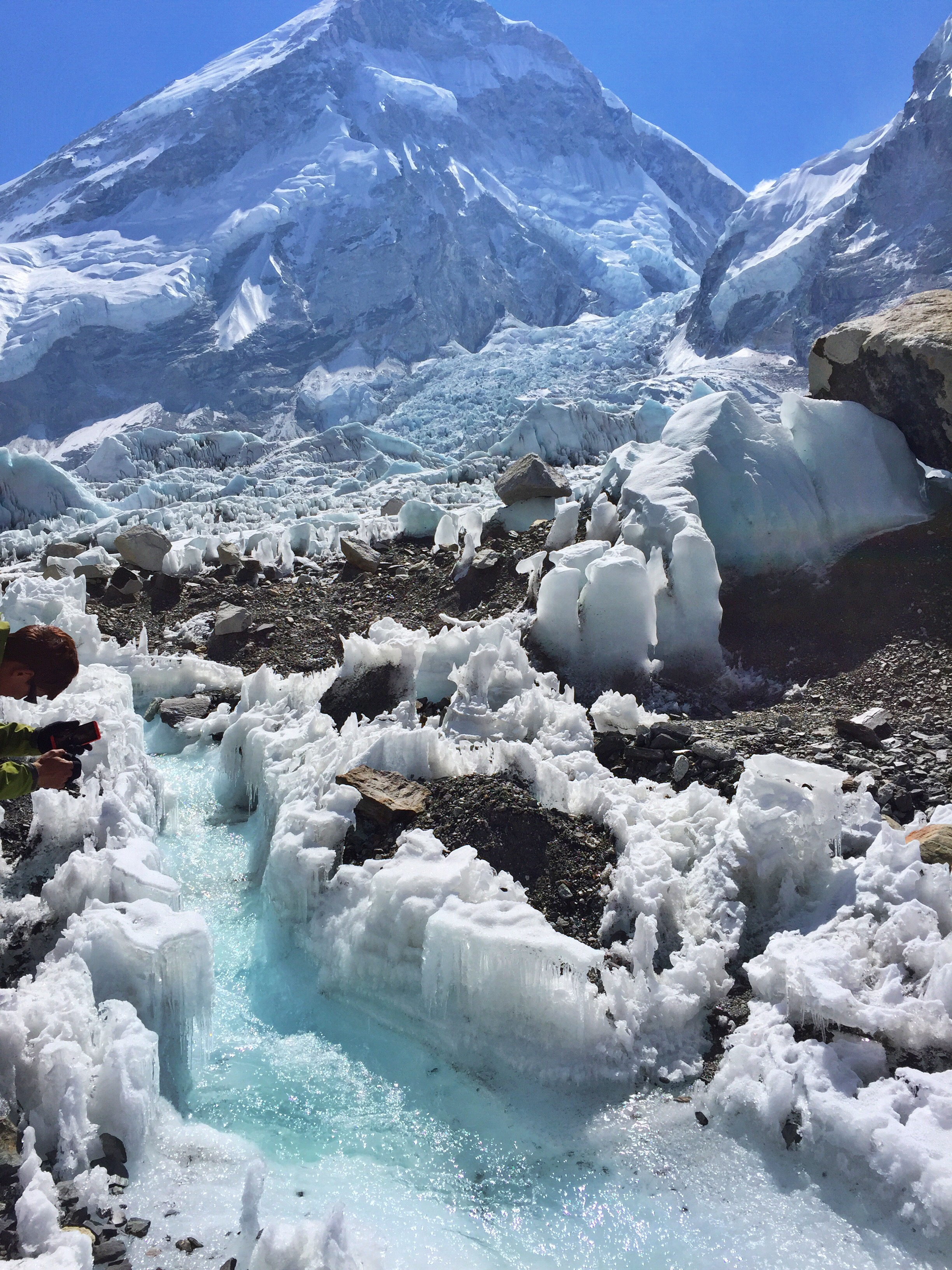
Alpine stream flowing from Everest’s Khumbu Ice Fall
The air around Everest Base Camp is not only noticeably thin, but it’s thriving, like an energetic field pumping with adrenaline. Some climbers have begun to acclimatize by hiking through the infamous Ice Fall, but they won’t begin ascending any higher or planning any serious summit assaults for another month. The excitement and anxiety in this field full of people is tantalizing.
Compared with our morning excursion, the afternoon is dull. We grab a bite to eat in Gorak Shep before trudging down the trail to return to Lobuche, where it is snowing. Even though our lodge locations will continue to lower in elevation, we still have two passes ahead to tackle that will take us even higher than EBC. For the next few days we won’t skimp on sleep or carbs to fully prepare our bodies for the demands that high altitude will afflict on us, whether we welcome them or not.
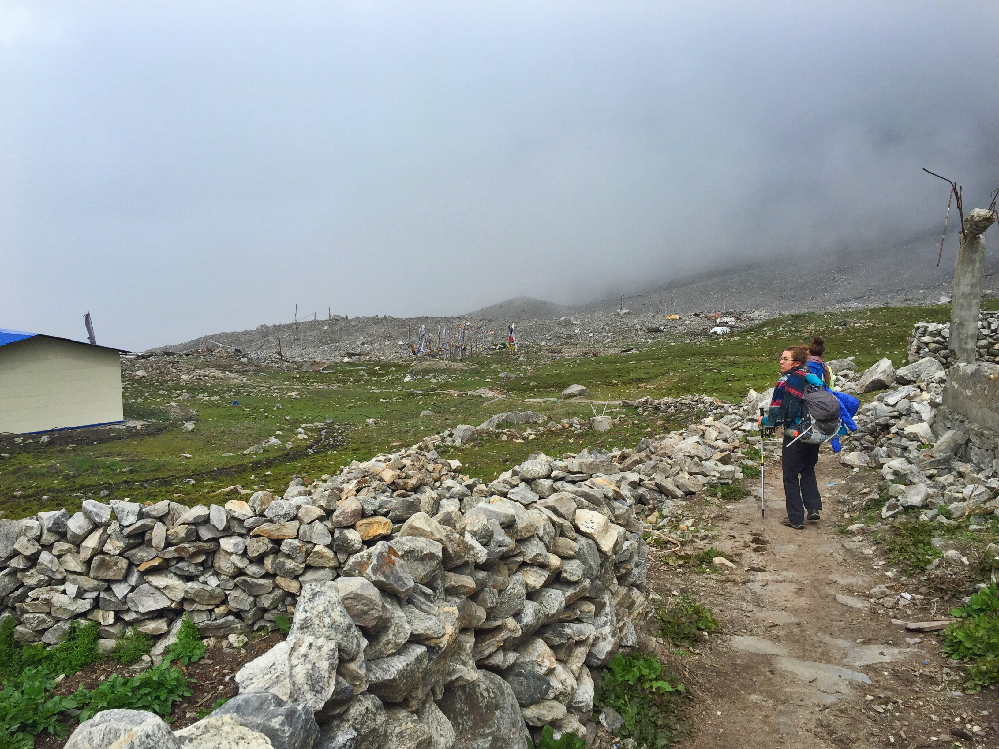
Day 13: Lobuche (16,170 ft.) to Dzongla (15,880 ft.)
Today is a short up-and-down hike to roughly the same elevation we’d started at. We’re at our lodge before noon, but the towering Cho-La Pass stands between us the next town, abruptly ending our options of continuing on for the day.

Pasang tells us that Dzongla is the tiniest town we’ll stay in, though we hardly feel a difference. Each stone building seems the same as the next, and there are a row of tents set up outside, presumably for Sherpa guides. Dad complains about the cold in the dining room until he notices these; then we decide to count our blessings.
Although the nights are very cold, the mornings typically bring strong sun and warm temperatures. However, these good spells don’t last for long – the weather usually deteriorates by mid-afternoon. More times than not, we’ll encounter snow flurries on our final approach into town, or admire the storms behind the comfort of thin walls, our books, and a cup of tea.

View from the small but beautiful Dzongla village
Today, I take advantage of the early afternoon sun and hand-wash three pairs of socks, saving me from any additional laundry needs before Kathmandu. They half-dry in the sun, then quarter-soak in the snow, and finally fully-dry by the heat of our lodge’s dung-powered woodstove (or “shitstove” as Dad would say).
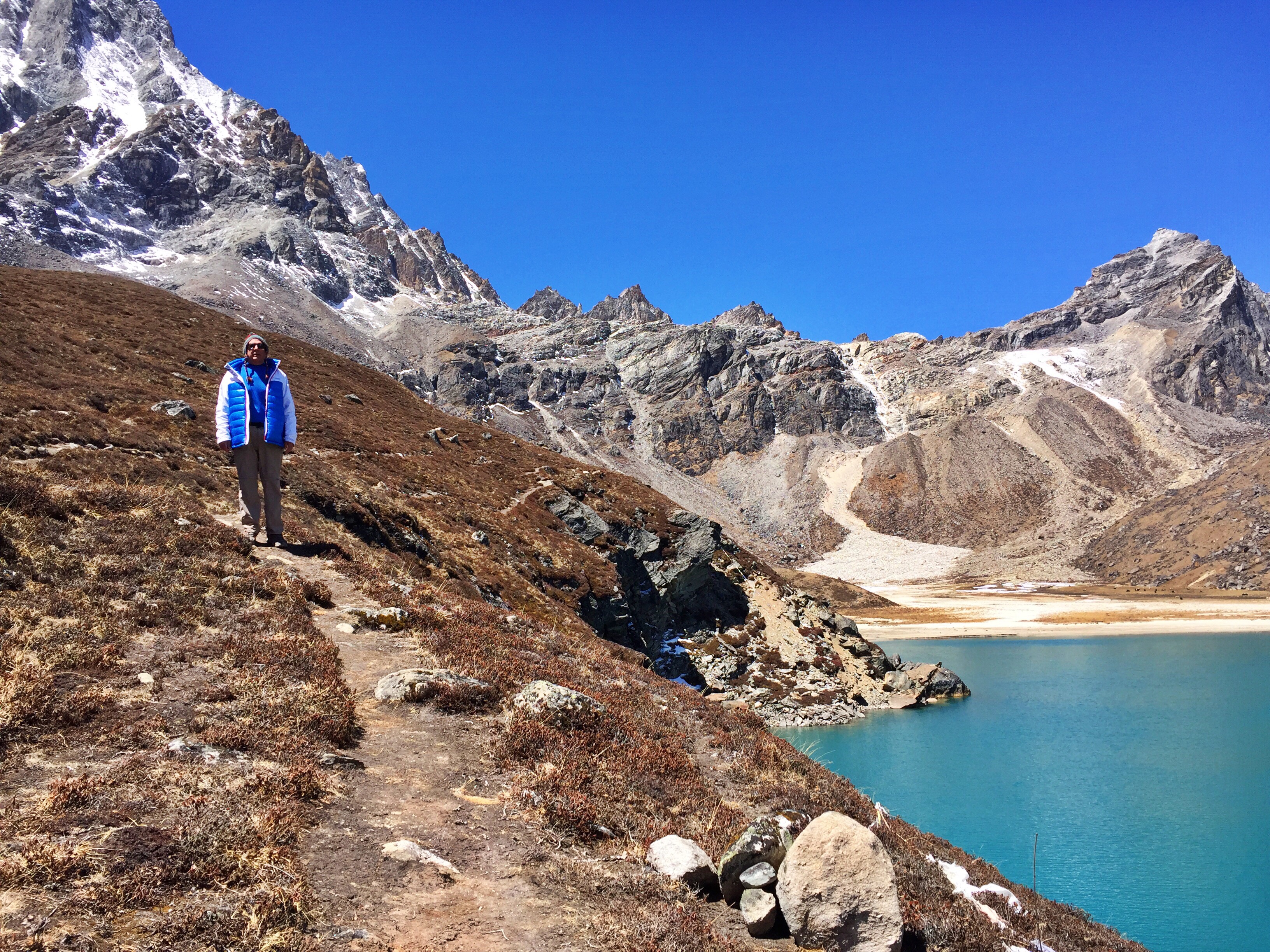
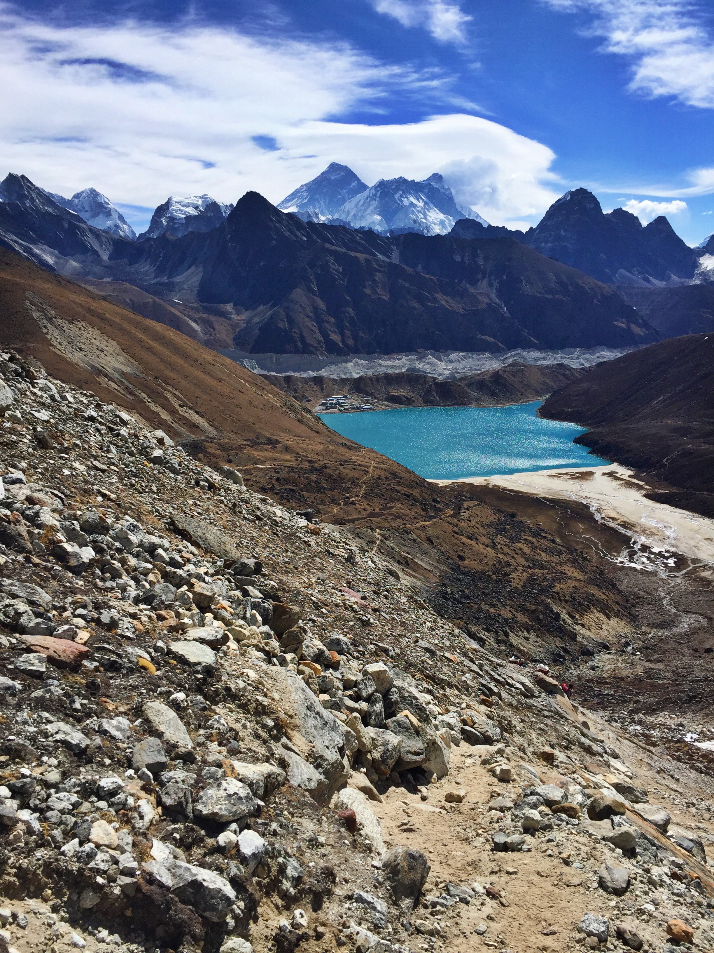
Day 14: Dzongla (15,880 ft.) crossing Cho-La Pass (17,782 ft.) to Gokyo (15,580 ft.)

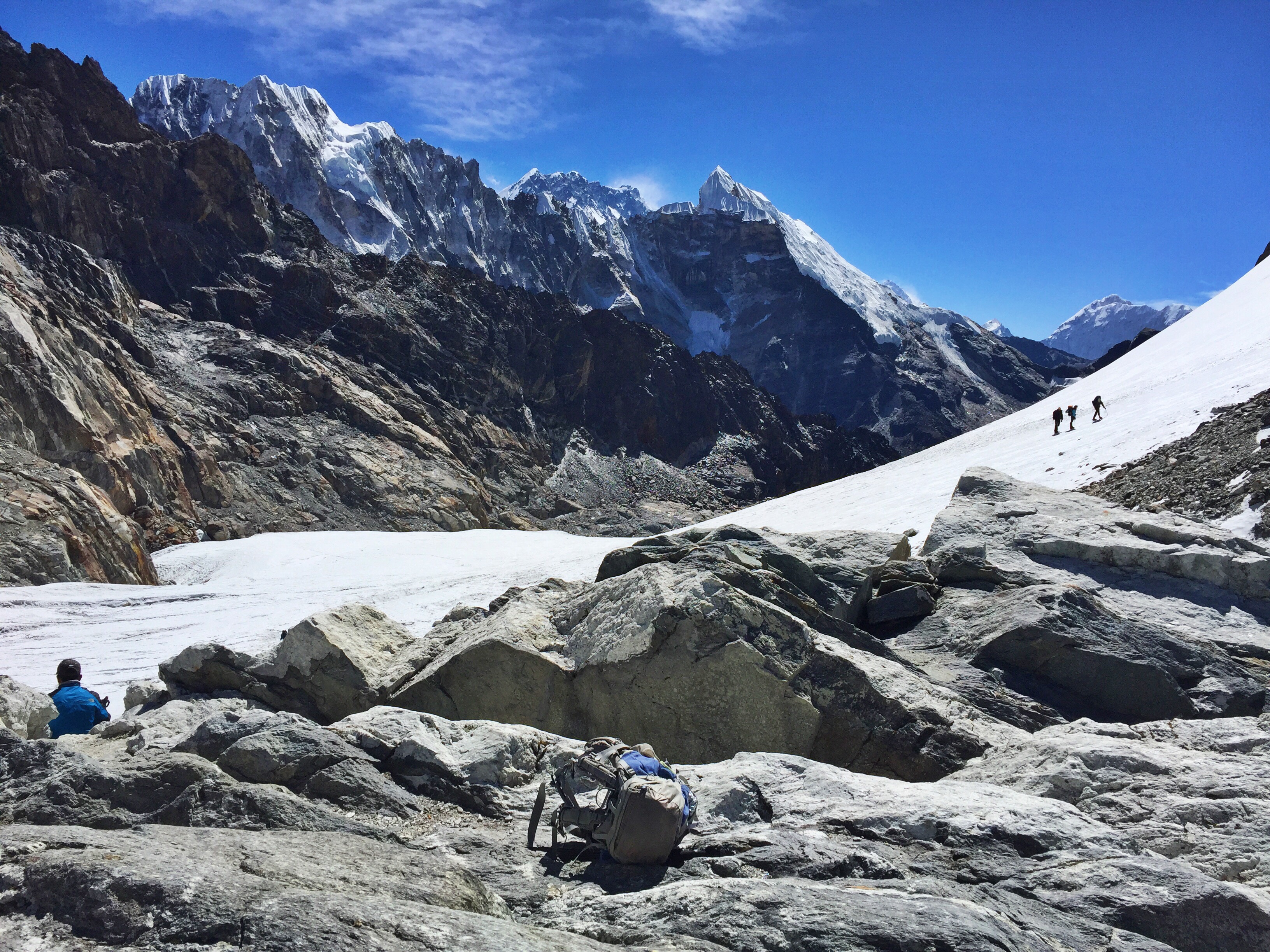
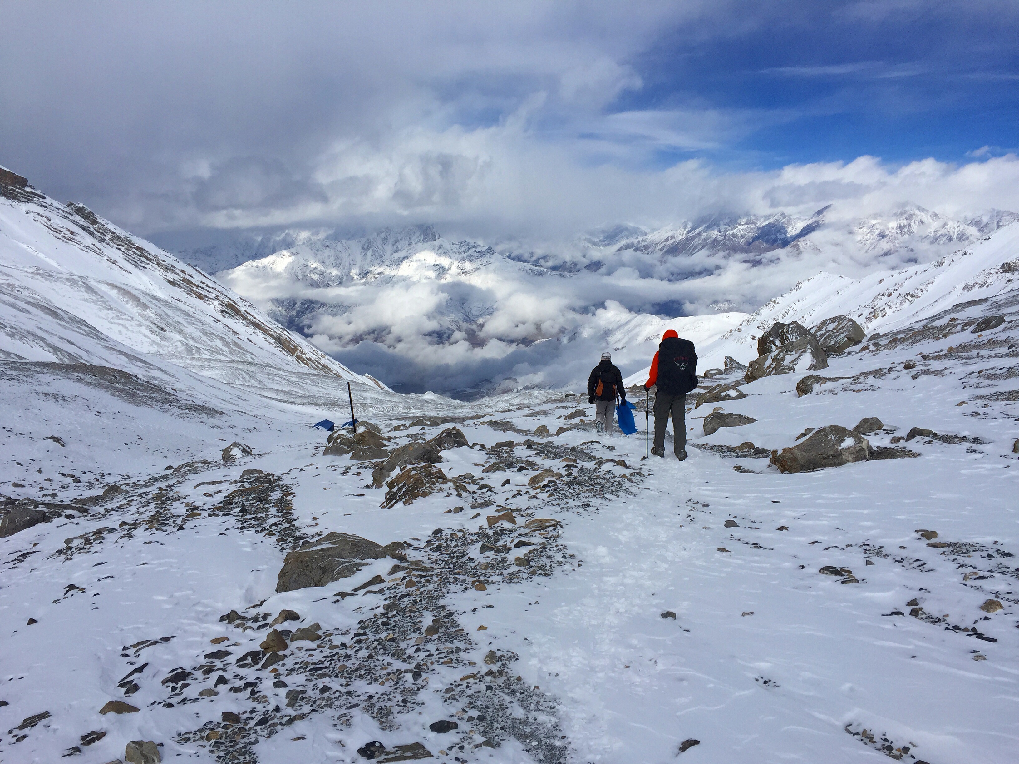
We’re crowding along dozens of other hikers at 6:15 am with the same mindset: Start early enough to get up and over the pass to beat the afternoon winds, but not too early that the backside of Cho-La would be covered in ice. This is supposed to be our easiest pass on the trail, but we are met with endless boulder fields and a large glacier crossing that slows us down.

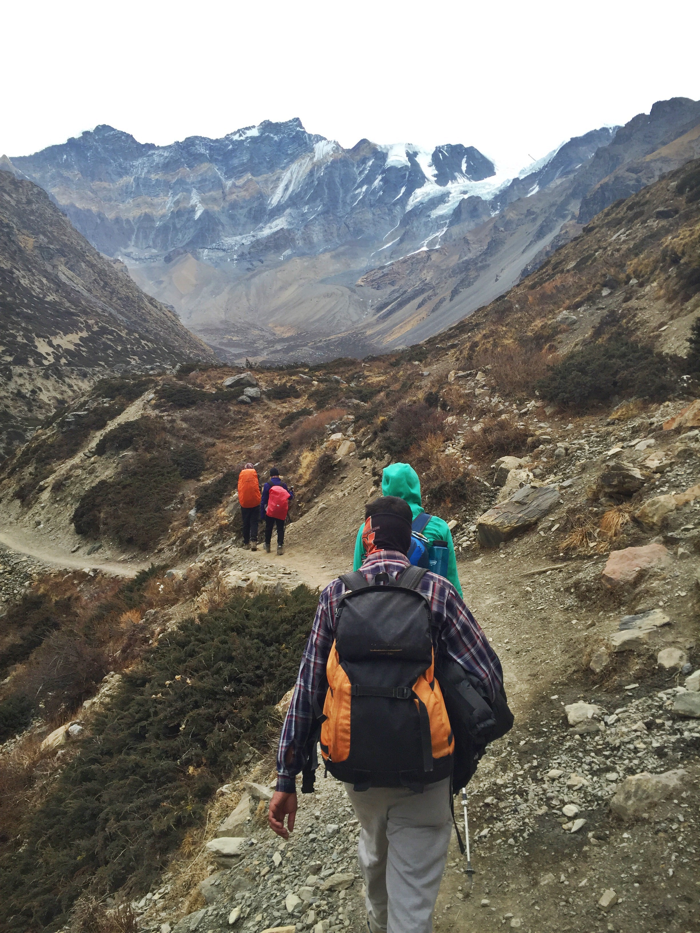
Final glacier walk up to the pass
We reach a tiny town after our pass crossing at 12:30, our designated end point of the day. But even after a long morning, we’re feeling good, and suggest to our guides that we push on to the town of Gokyo, which we’ve read nothing but good things about. We’re looking forward to spending two nights in the same room for the first time in a week, and our very first ever full rest day, a new concept for us.
In the last blog post, Dad made a point that he’d wished he had clarification on what “rest day” entailed. On this day, before leaving the Tashi Friendship Lodge, he’d asked our guide: If we choose to push on to Gokyo, will the weather hold this afternoon? Pasang’s response: Yes, weather will be no problem.
So here comes my father’s query of “What is your definition of ‘no problem’?” We end up walking through a two-hour long blizzard. A few tame snowflakes had us pulling out our gloves and wool hats, and at less than halftime to Gokyo we found ourselves in a complete whiteout, blind but for Pasang’s guidance.

A long traverse to Gokyo in deteriorating weather

Halfway through the day, Dad announces that he’s lost his money clip: It’s gone forever. A few hours later, he’s positive that he knows where it’s ended up: Behind a large rock, 20 minutes into the beginning of our day, presumably on top of, next to, or underneath a pile of shit. Pasang and Ang generously offer to spend the following rest day retracing our steps back (9 hours one-way) to Dzhlonga to retrieve it.
However convinced Dad is, all three of us are skeptical, and implore him to empty out his fleece and parka. Lo and behold, it’s in the right hand pocket of the jacket he was wearing that morning. I can’t tell if he’s relieved to have found it, or frustrated to have been wrong about its placement. Either way he saved the selfless Pasang and Ang a long (and frankly, disgusting) mission.